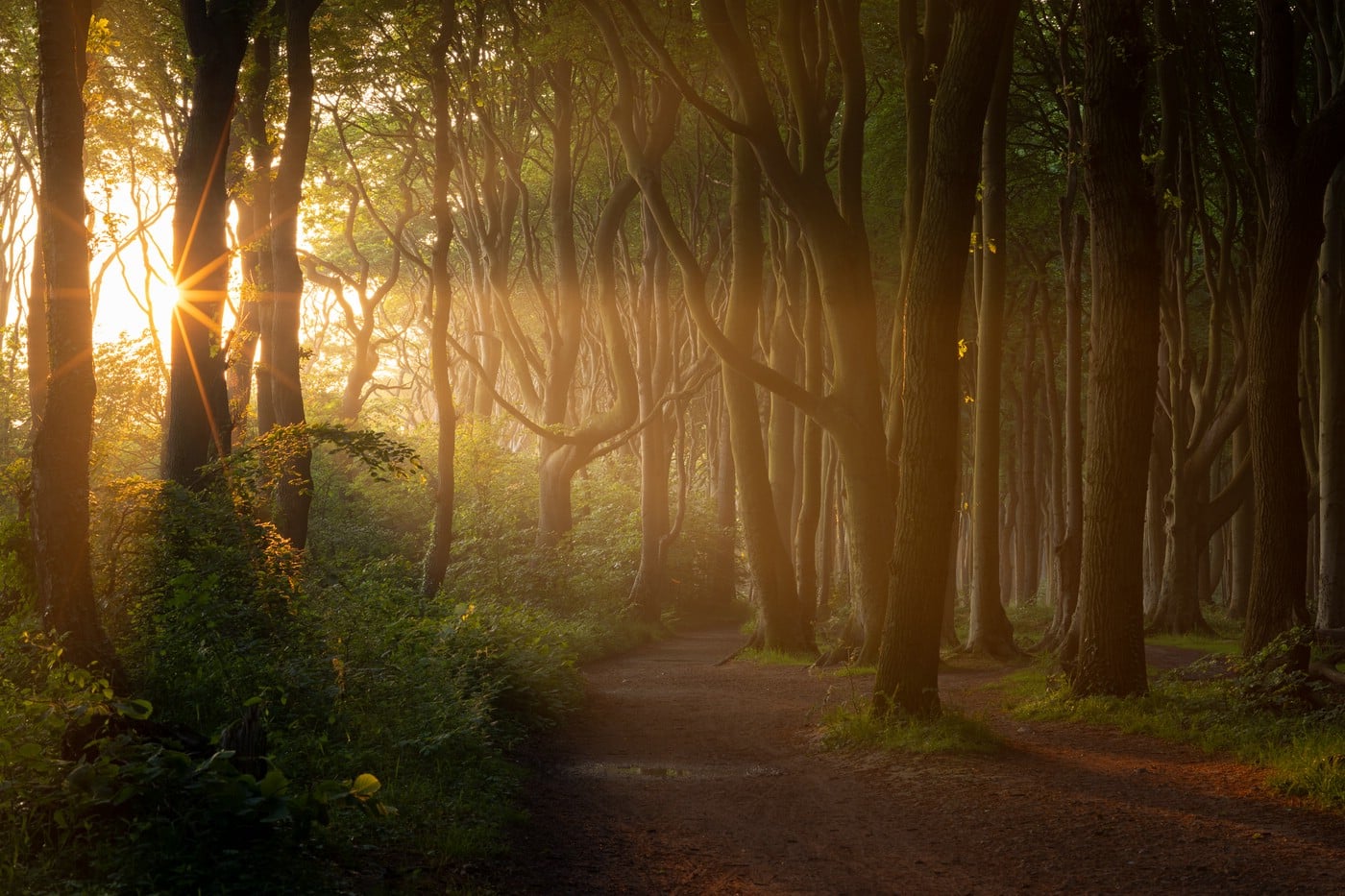
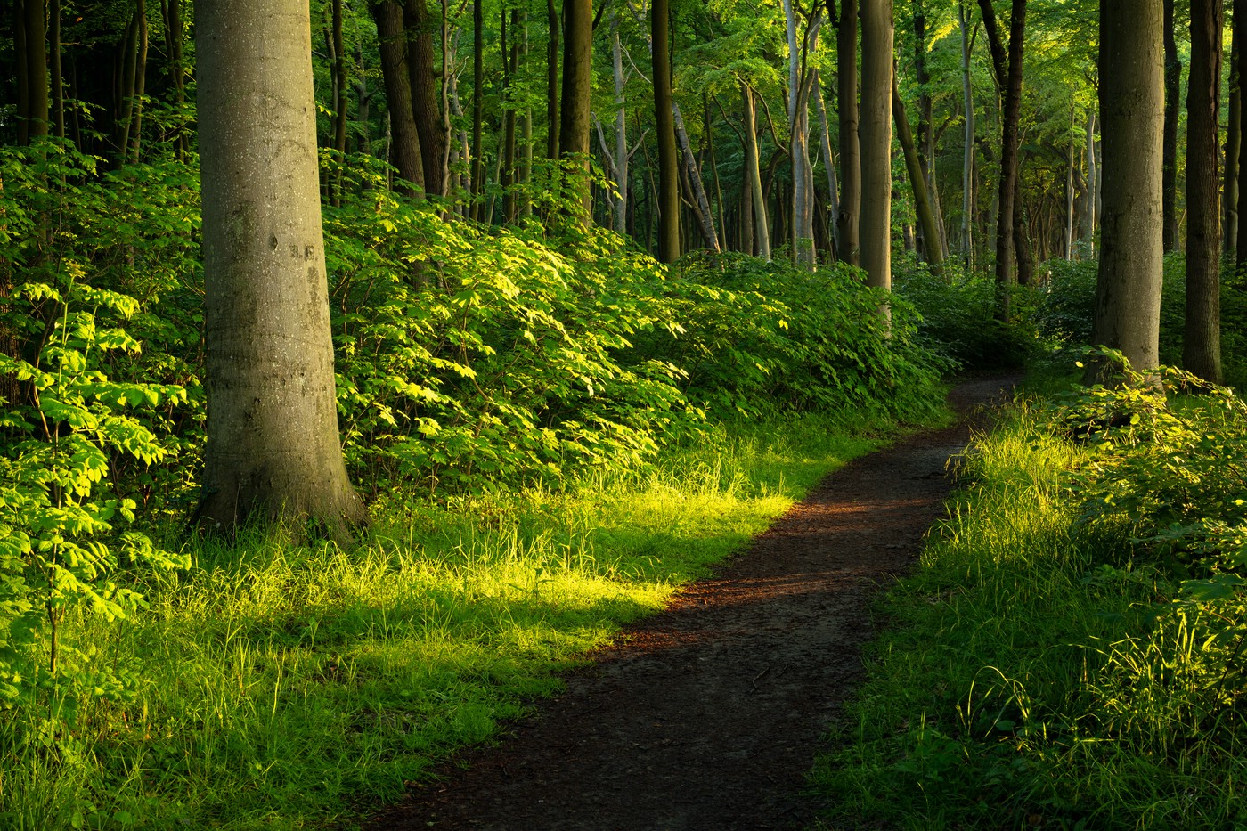
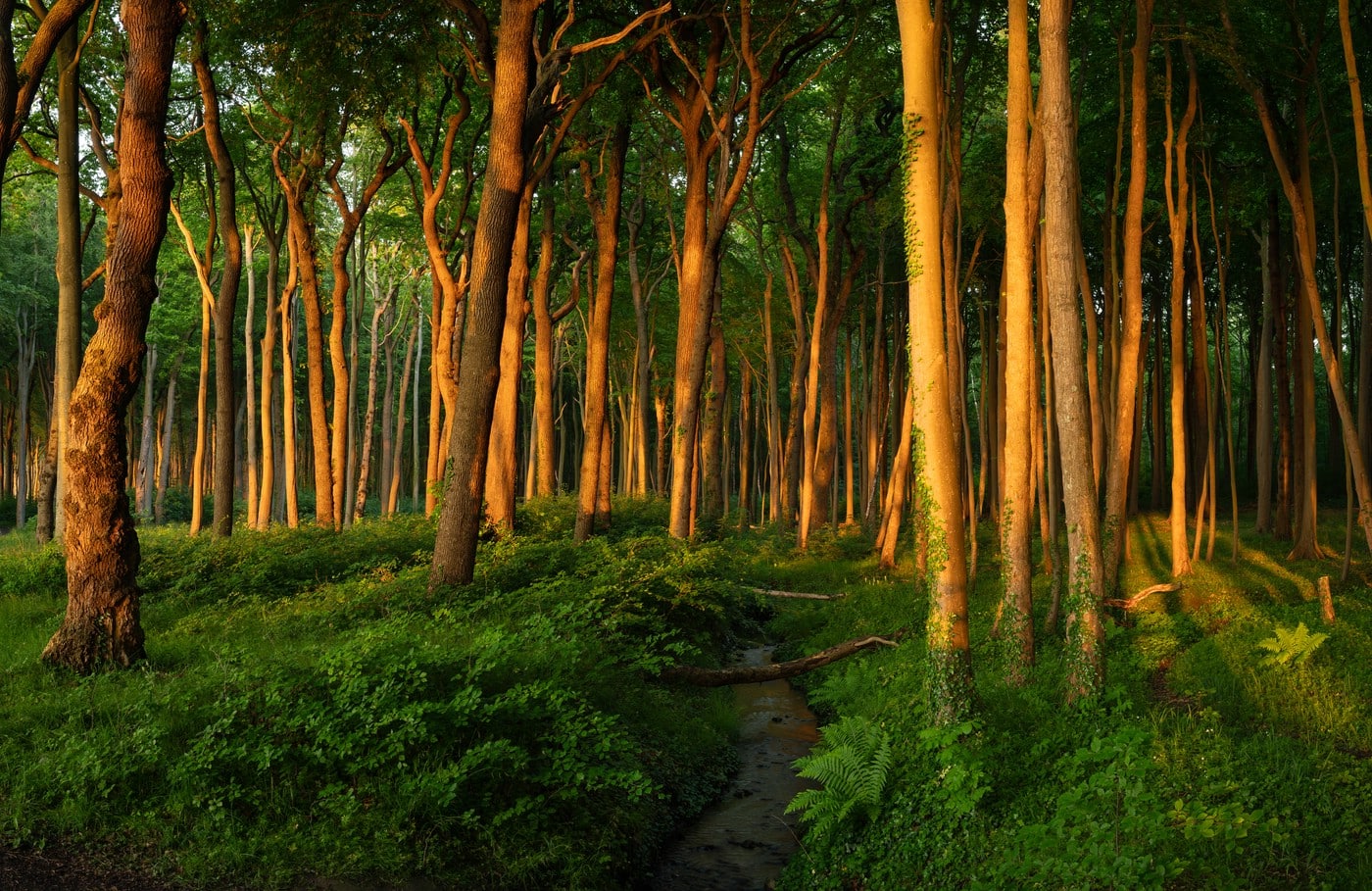
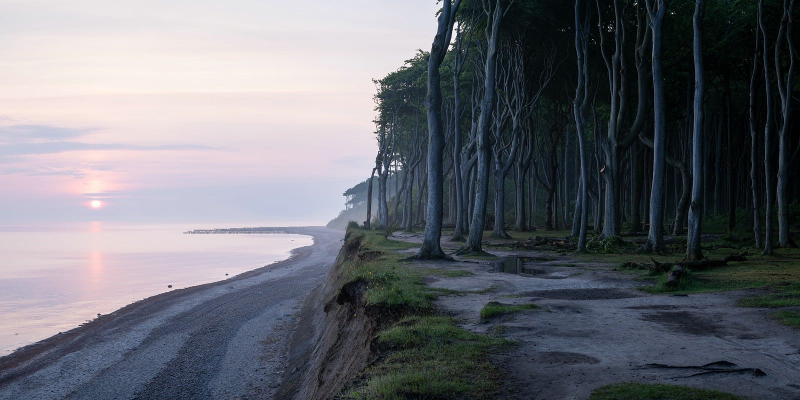
In some places at the German Baltic coast in the state of Mecklenburg-Western Pomerania beautiful beech forests grow close to the sea. In the following I share a few photos from one of those places where I spent an early summer evening and subsequent morning. Many trees have bare lower trunks due to the difficult growing conditions resulting from strong winds and salt deposition.
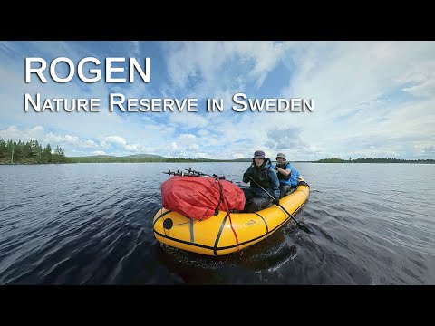
Last summer my wife and I went on a trip to the Rogen Nature Reserve in Sweden. Using a packraft and our feet we explored a small part of this area. Unfortunately, due to unfavorable weather conditions we had to cut our trip short. But nonetheless it was a great experience. The following video is a summary of our adventure.
Rogen Nature Reserve (Sweden) - by Water and by Land
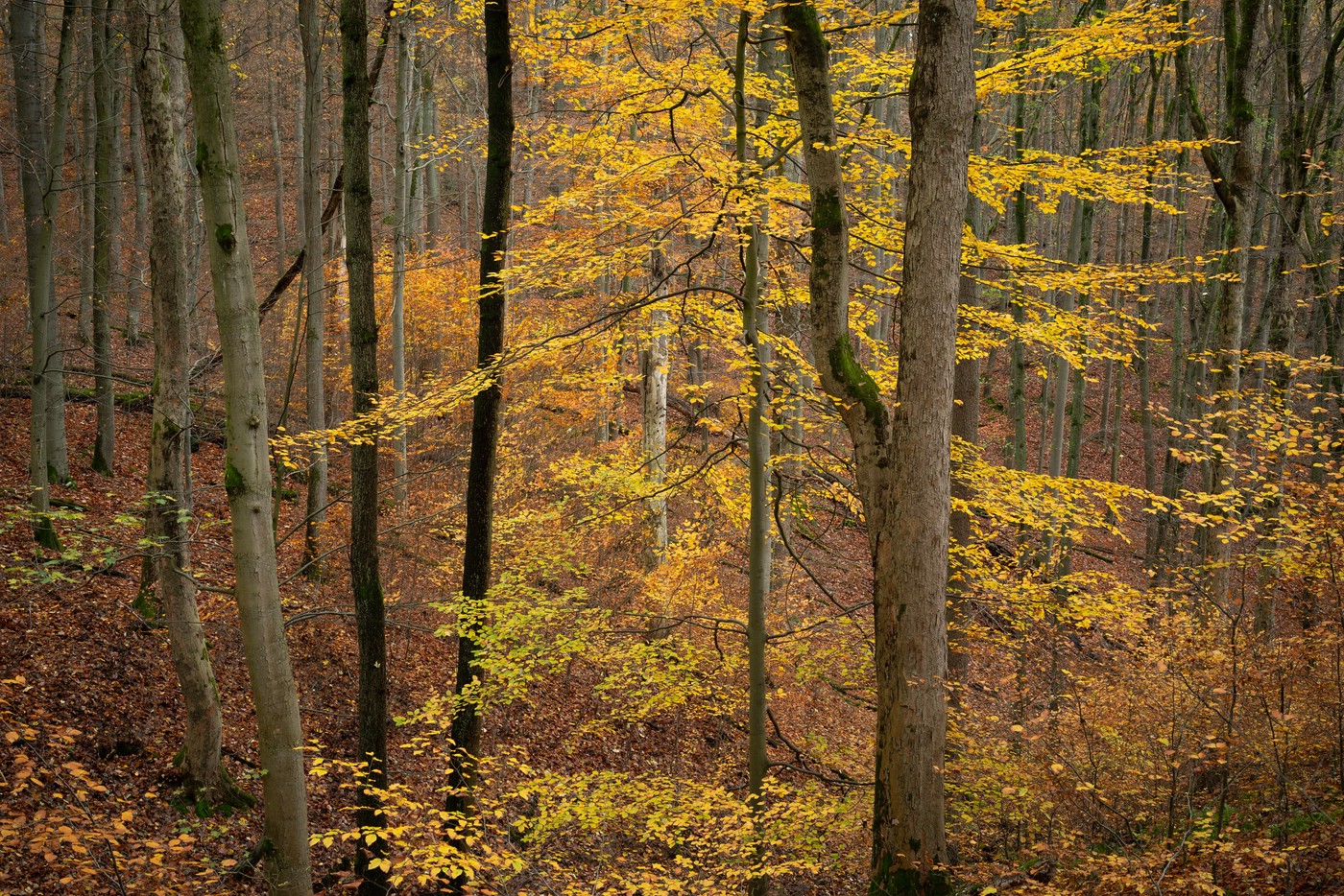
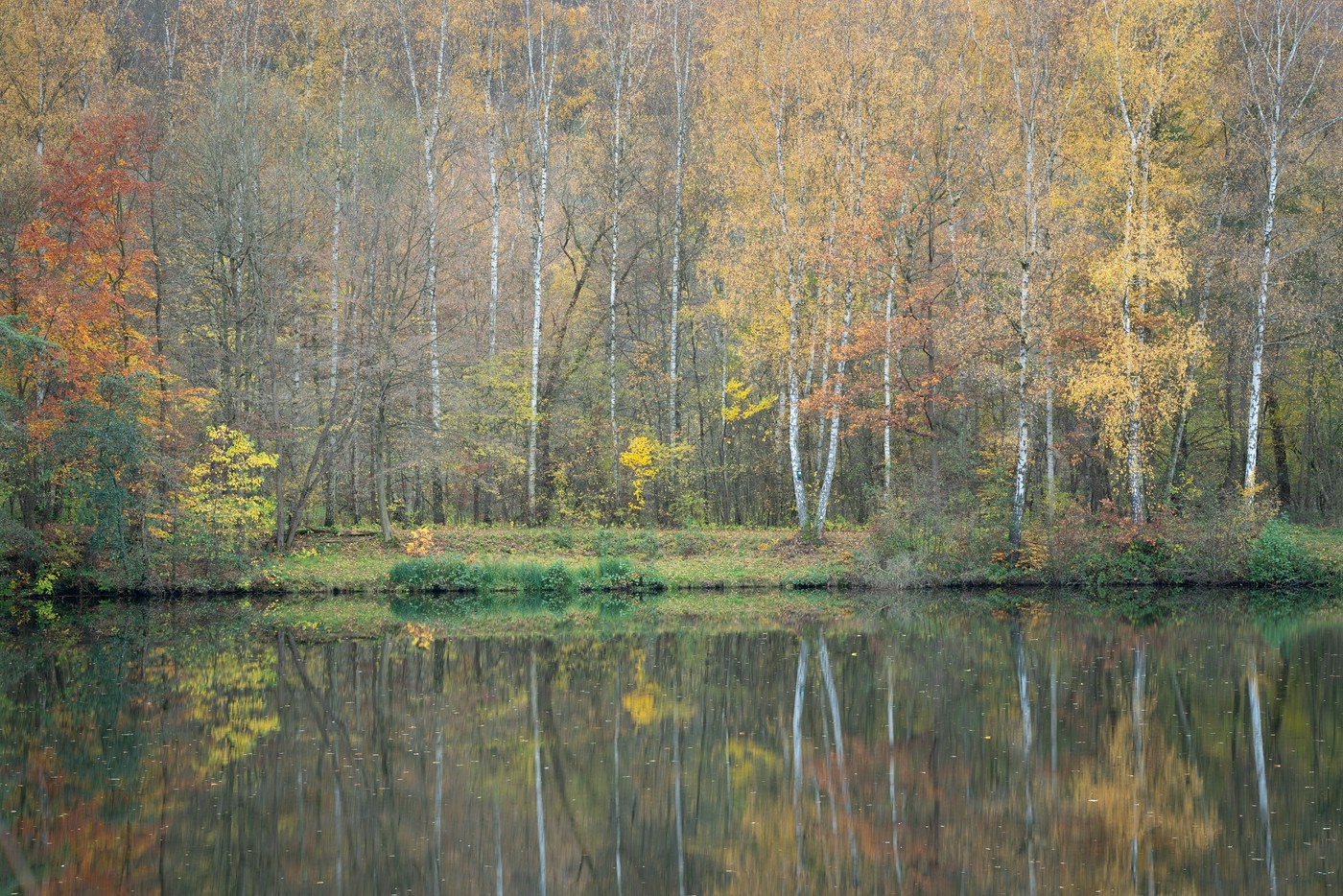
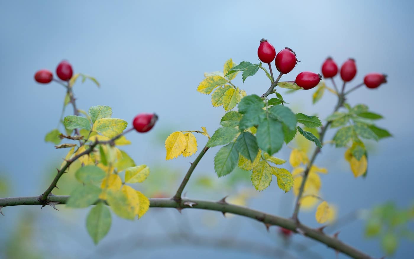
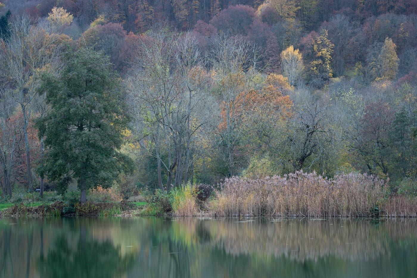
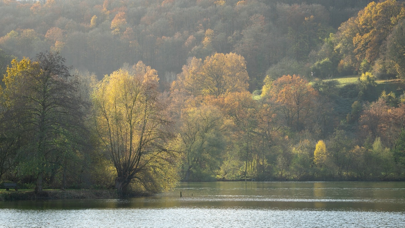
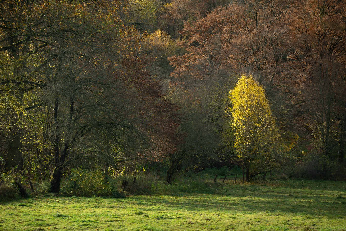
In late November I have spent a weekend near Hoher Meißner, a mountain roughly in the center of Germany. The area is rural with lots of forests which was great to capture the autumnal colors which were just about to fade. On the higher hills the leaves had already been stripped by the wind. Thus, I mostly kept to the forests. Two small lakes provided nice reflections.
The first four images were shot with overcast skies. The flat light can really be beneficial for the colors of the vegetation.
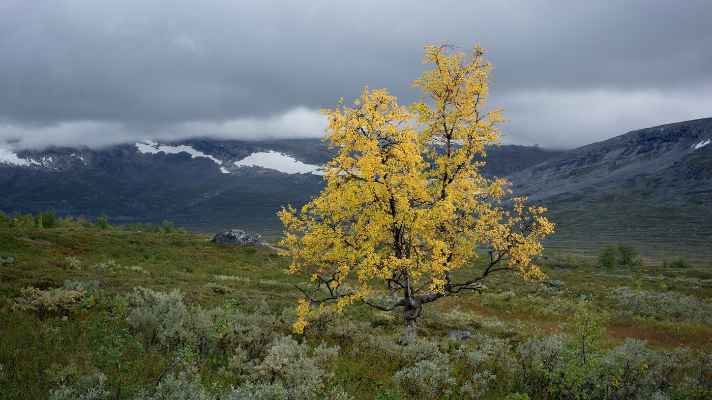
From Jäkkvik I followed Kungsleden south and then continued pathless to the west – touching the the small Pieljekaise National Park. The pathless section from the small Sami settlement Tjállas up to the pass near Gujkkultjårro was strenuous with lots of brush and wet areas.
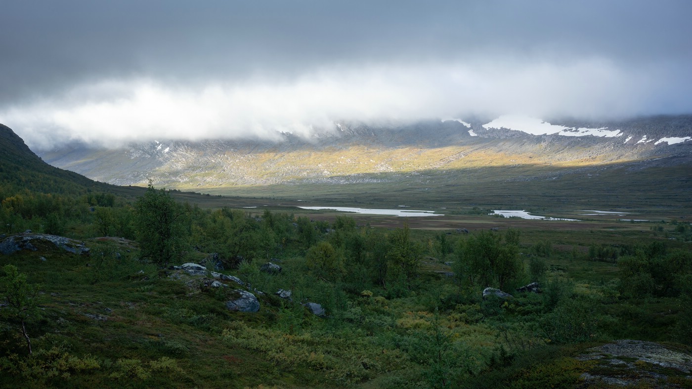
Except for the first two days I mostly encountered very changeable weather, rain, strong wind and low temperatures. Apart from two Sami persons I met nobody until shortly before the pass road 95 (“Silvervägen”). I was quite surprised about that as there is a marked trail from Ruonekjåhka. Sometimes it is quite overgrown and swampy in places. It is a beautiful area; I especially liked the section near Gujjávrre. But also before, there are beautiful views along the way.
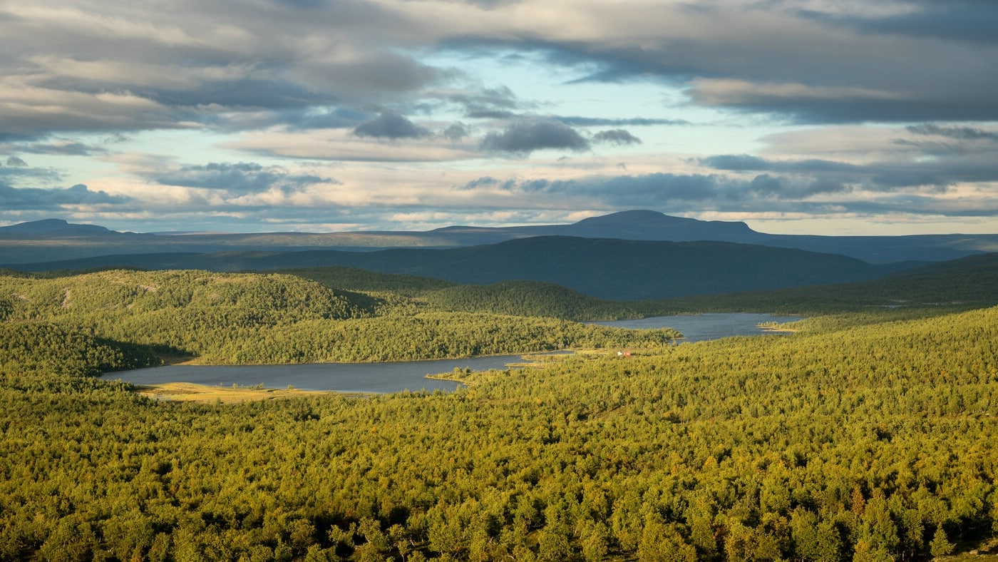
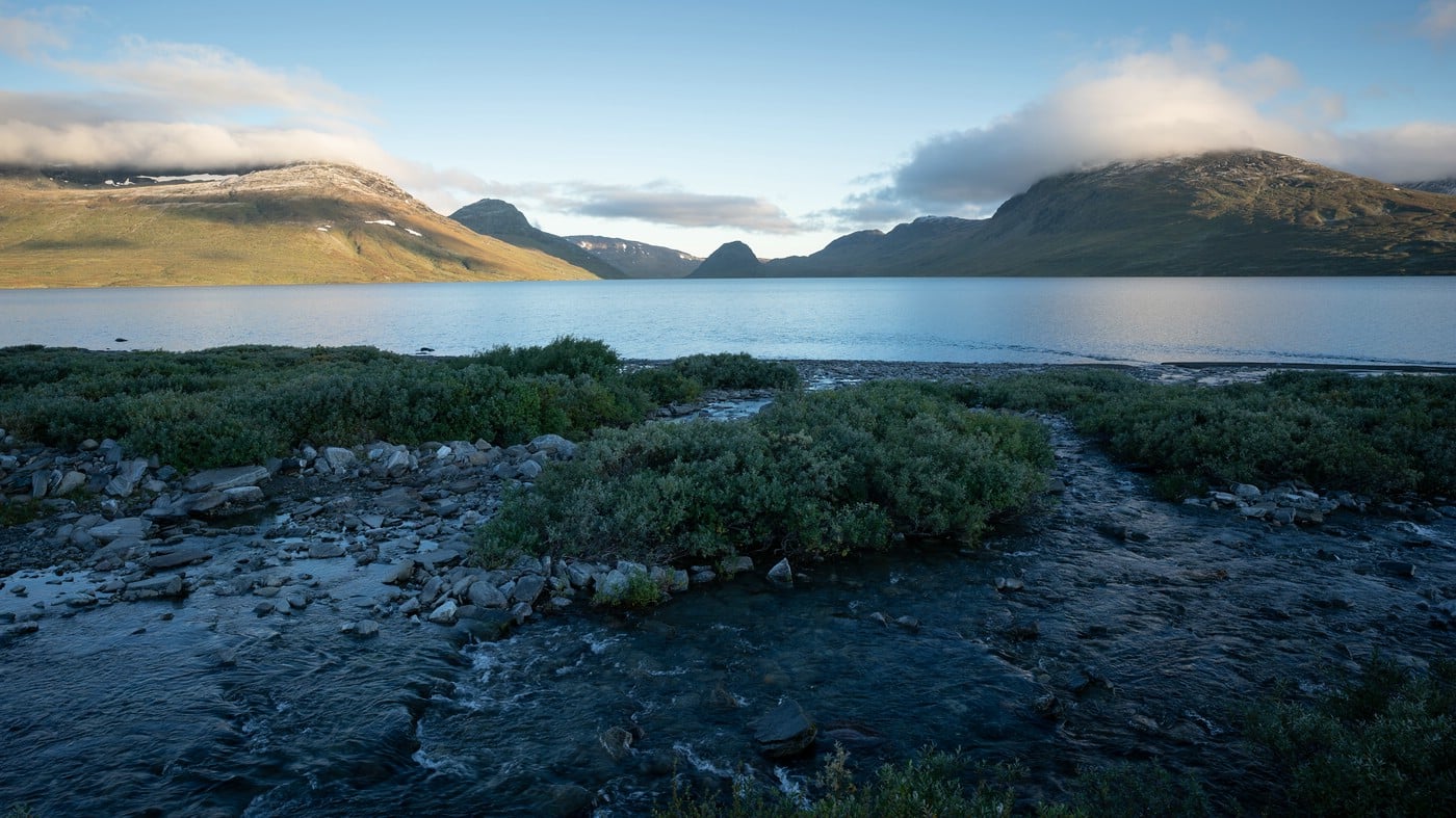
Small lake Tjáhtsáljávrátj near Jäkkvik
Gålnåsjávre
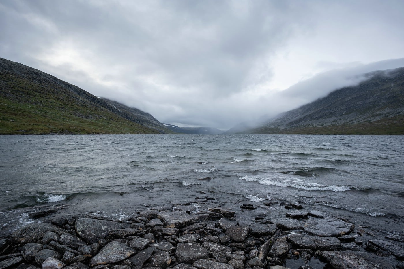
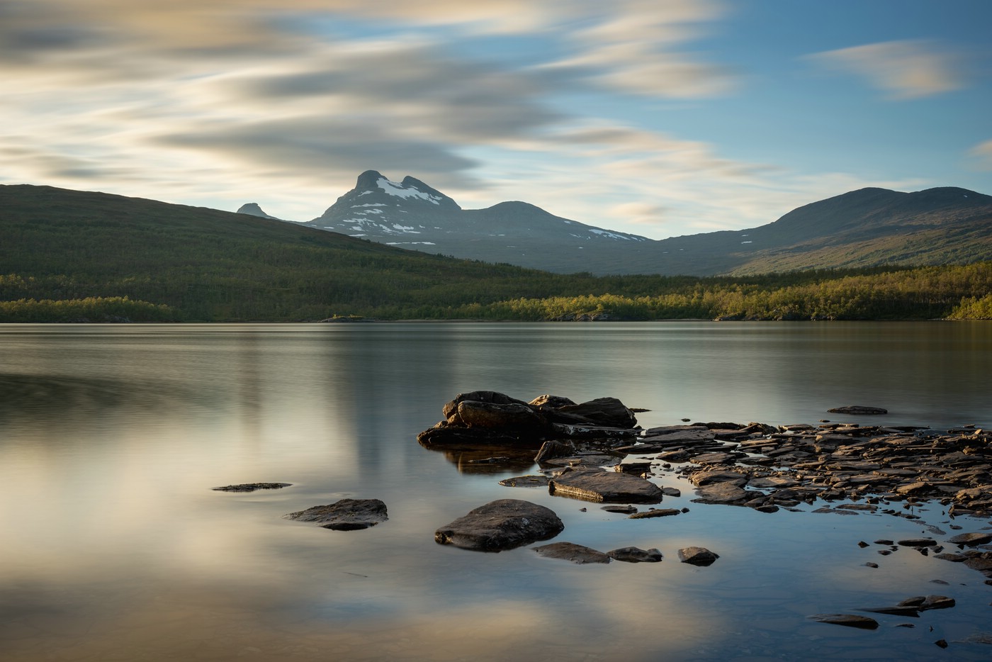
Gujjávrre
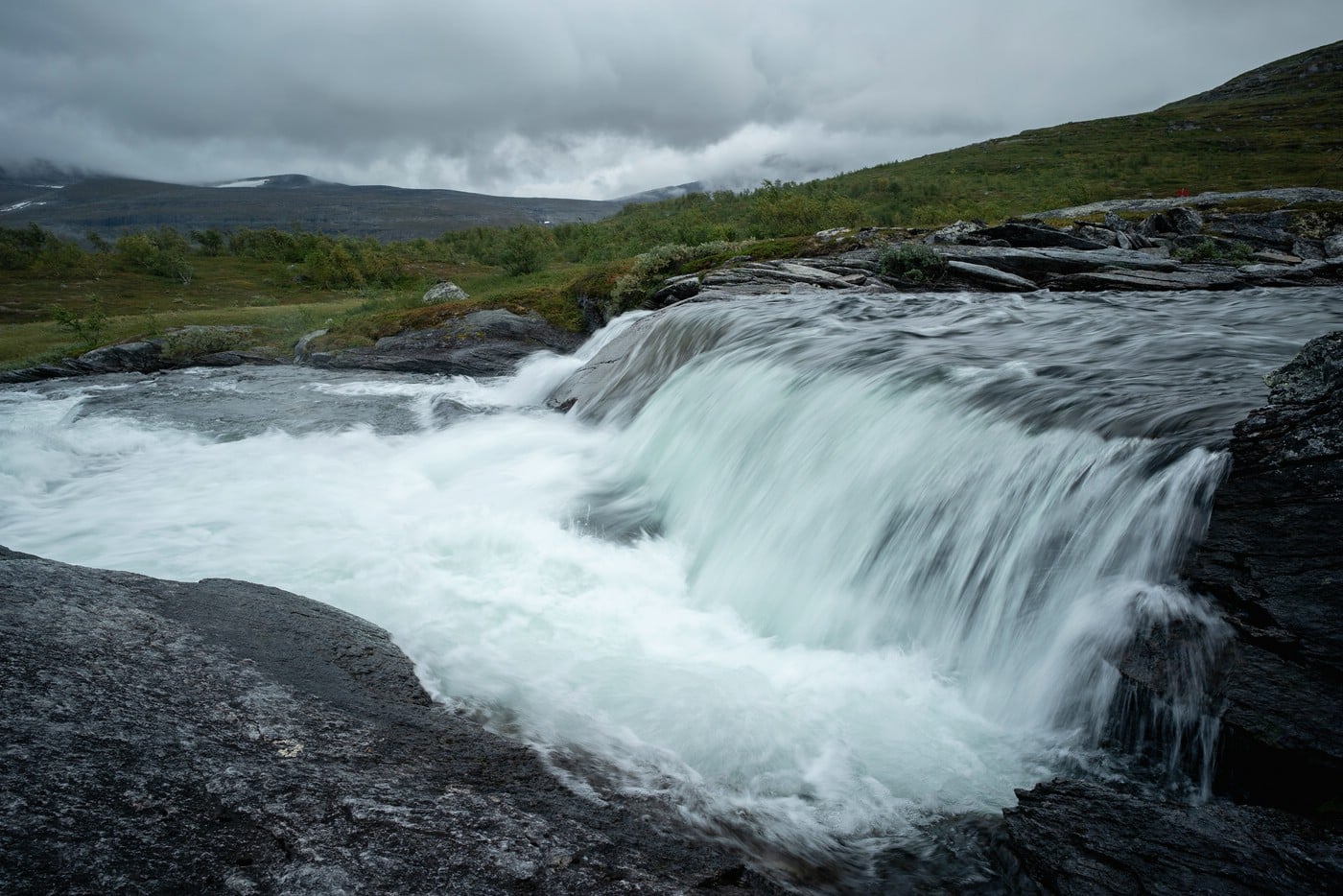
Waterfall at Gujjávrre
Lomtjärnen
First signs of autumn
View back towards Lomtjärnen
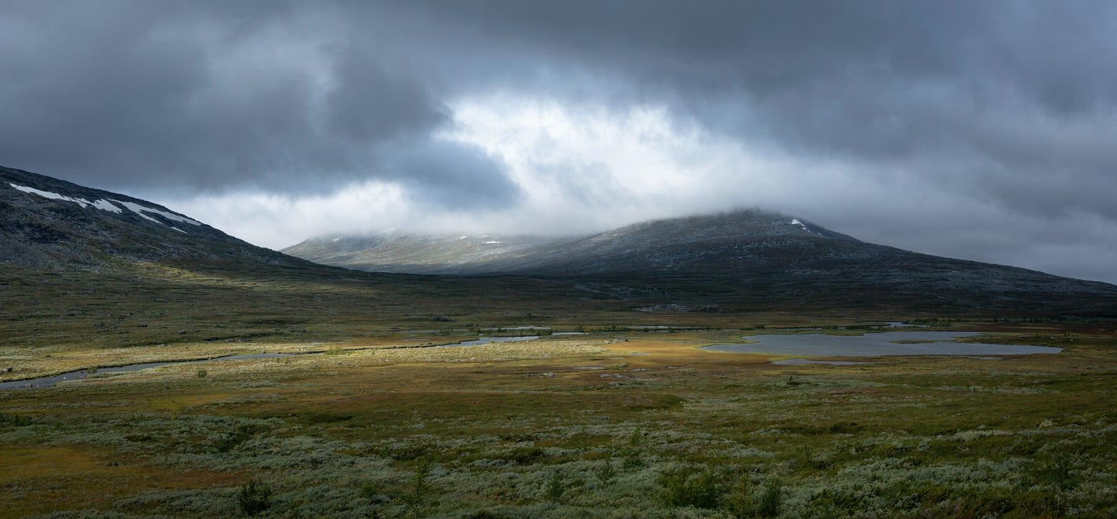
Silvervägen – Ikkesjávrre – Mávasjávrre
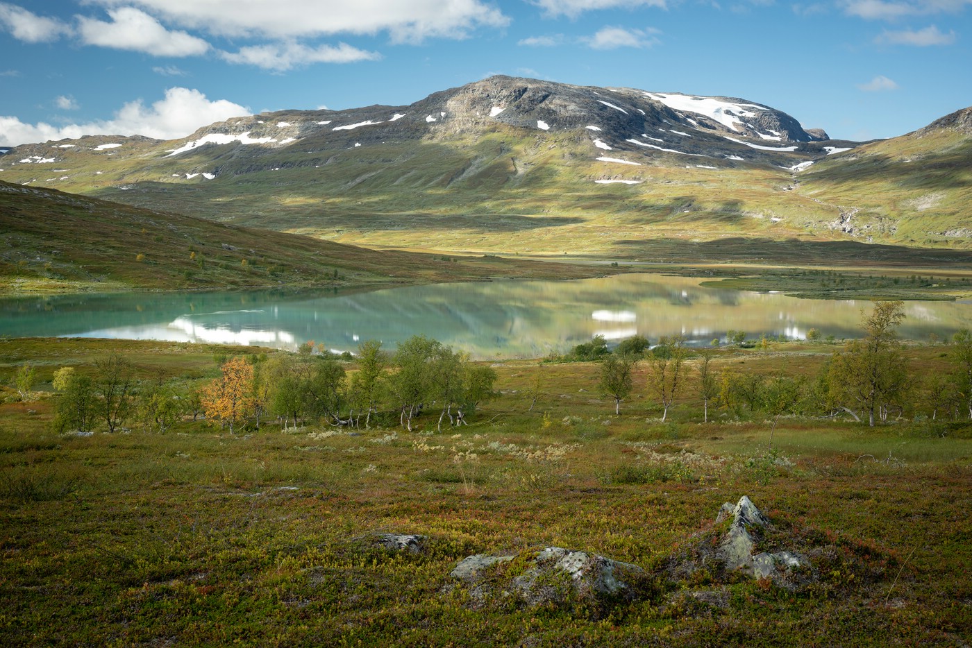
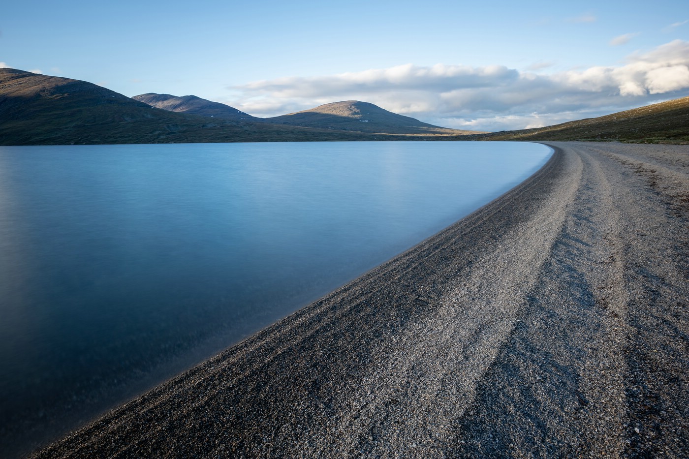
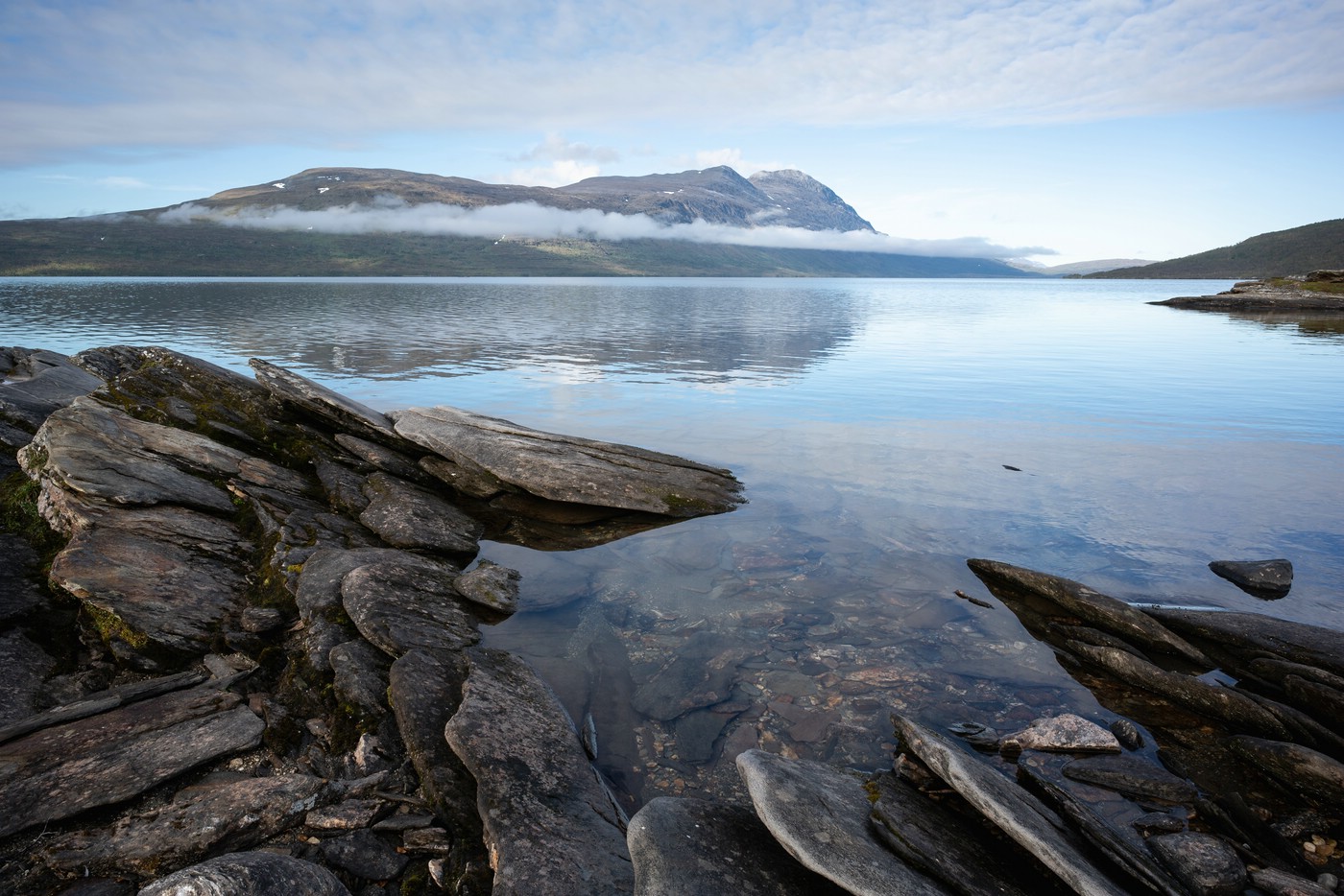
After crossing the pass road I continued along the trail via Jurun and the small lake Jurunjávree, to beautiful Ikkesjávrre which has one of the largest sand beaches in Lapland’s mountains to Mávasjávrre and the Sami settlement Mavas. For crossing Mávasjávrre I used a packraft as there was no boat service provided in 2022 (I don’t know how it will be in the following years). I camped at the northern lakeshore and was surprised with the northern lights during the night – probably nature’s birthday present as I had just turned one year older.
Jurunjávrre
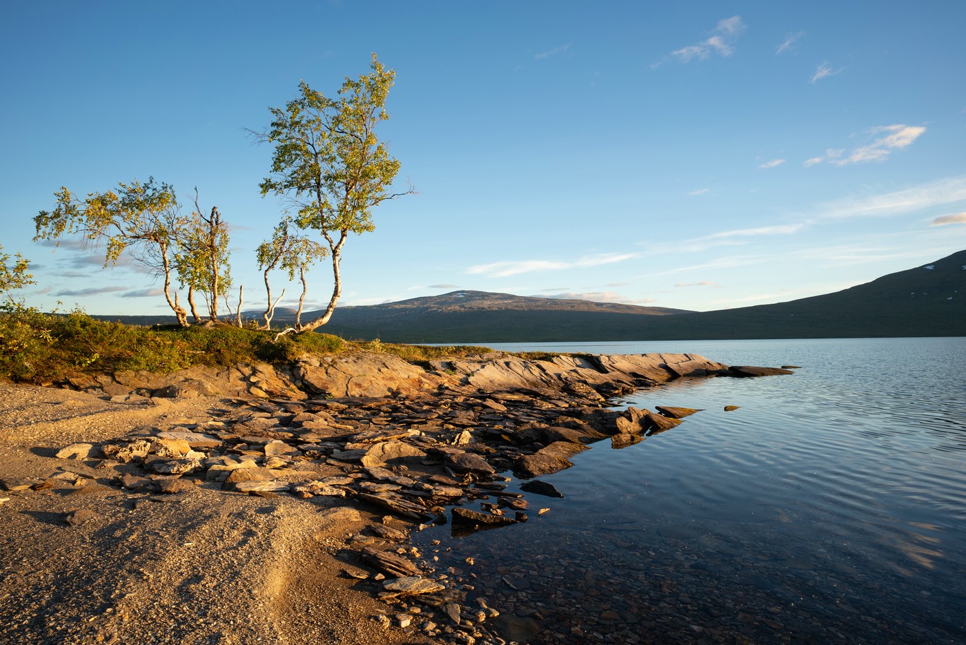
Beach at Ikkesjávrre
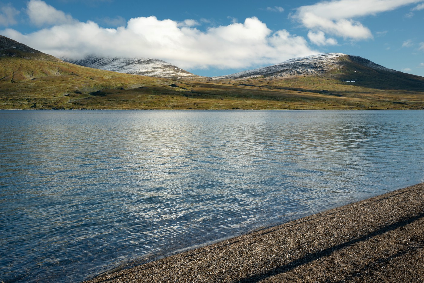
Ikkesjávrre
Dusting of snow at Ikkesjávrre
Nuortta Sávllo from Mávasjávrre
Mávasjávrre lakeshore
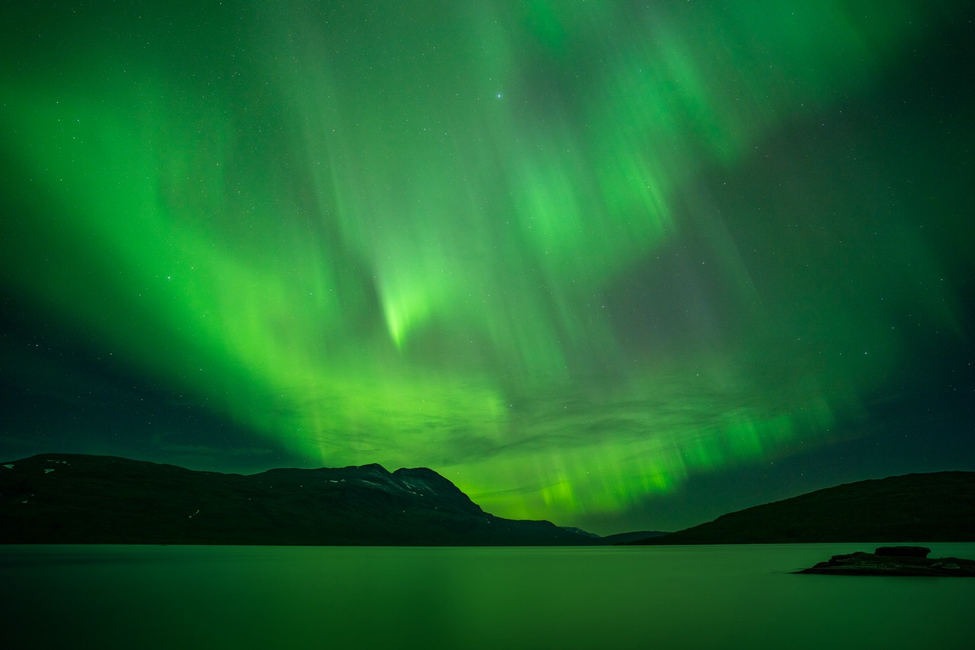
Aurora above Mávasjávrre
Mávasjávrre
Mávasjávrre – Pieskehaure – Ny Sulitjelma – Sorjushytta
The marked trail (which I lost in places as it is sometimes hard to see and follow) from Mavas leads to the large and beautiful lake Pieskehaure. Again, I was lucky and got a display of the aurora when camped above Pieskehaure.
Some functional cookies are necessary to make this website work. We do not use tracking cookies. While staying on this website no third-party cookies will be set. However, we do not have any control over other websites accessed by links. Our embedded videos use youtube-nocookie.com and thus will not set any cookies on your machine when you play them on this site. Details are in our Privacy Policy.
This website uses cookies to improve your experience while you navigate through the website. Out of these, the cookies that are categorized as necessary are stored on your browser as they are essential for the working of basic functionalities of the website. We also use third-party cookies that help us analyze and understand how you use this website. These cookies will be stored in your browser only with your consent. You also have the option to opt-out of these cookies. But opting out of some of these cookies may affect your browsing experience.
Necessary cookies are absolutely essential for the website to function properly. This category only includes cookies that ensures basic functionalities and security features of the website. These cookies do not store any personal information.
Any cookies that may not be particularly necessary for the website to function and is used specifically to collect user personal data via analytics, ads, other embedded contents are termed as non-necessary cookies. It is mandatory to procure user consent prior to running these cookies on your website.