Overview
The following links lead directly to the individual parts of this travel report:
- Glomfjord – Láhko National Park
- Storglomvatnet – Glomdalen – Gråtådalen – Beiarstua
- Beiarstua – Tverrådalen – Tollådalen – Bjellåvasstua
- Bjellåvasstua – Midtistua – Steindalen – Lønsdal
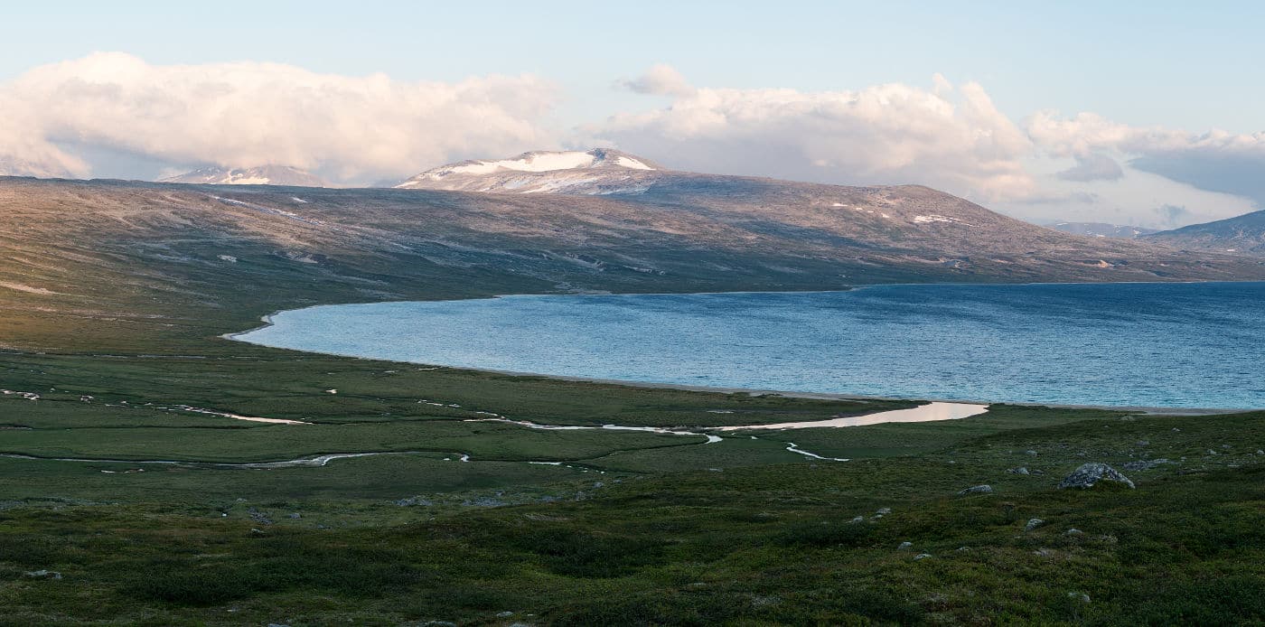
Norway’s Saltfjellet-Svartisen National Park is roughly located at the polar circle’s latitude. It consists of a western section which features Svartisen glacier – Norway’s second largest glacier and an eastern part – Saltfjellet. Directly adjacent to it is the small Láhko National Park, founded in 2012. It is interesting in particular for its Karst formations.
In part of the area there are self-serviced huts from BOT (Bodø og Omegns Turistforening) that offer an alternative to camping. Although there is a network of marked trails, we encountered few people. In the average we met about 1-4 other hikers a day, except in some parts of Saltfjellet that seemed slightly more popular. We were out in peak hiking season.
Our Hike
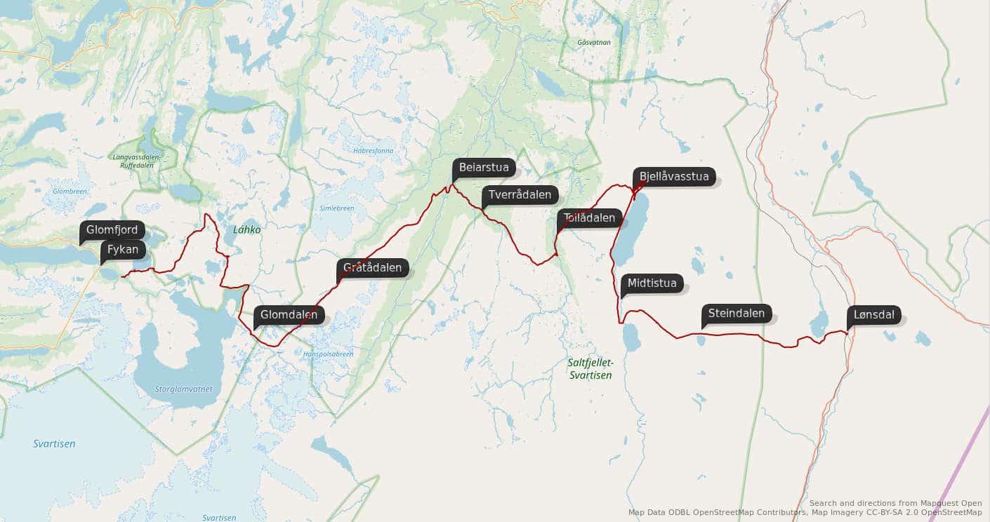
The graphic above depicts our hiking route. We started our hike at Fykan near Glomfjord and finished in Lønsdal traveling roughly in a west-east direction.
We took a slow approach with lots of breaks and taking a day off here and there. Overall we were about two weeks out in nature.
Equipment
Besides the usual camping and outdoor equipment (tent, sleeping bags, stove and fuel, clothes, …) we carried sufficient food to sustain us over the entire period of our hike (and even more) as the huts don’t provide a possibility for resupply.
Due to the amount of food, photographic gear was kept to a minimum and I brought only two lenses with 21mm and 50mm. When I’m not hiking alone, I do not carry a full tripod but use a system to transform three hiking poles into a tripod (made by Novoflex).
Video about this Trip
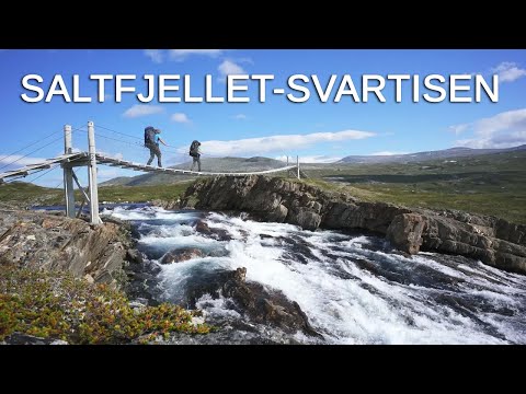
There’s also 6 minutes of video about this trip:
The following pages describe the individual sections of our hike in more detail.