We woke up to a sunny morning and clear skies. I was a bit surprised that Litle Storglomvatnet seemed a lake on its own although the map showed it connected to the large reservoir Storglomvatnet. As it turned out, the water level of the main lake was so low, that the two lakes had been separated.
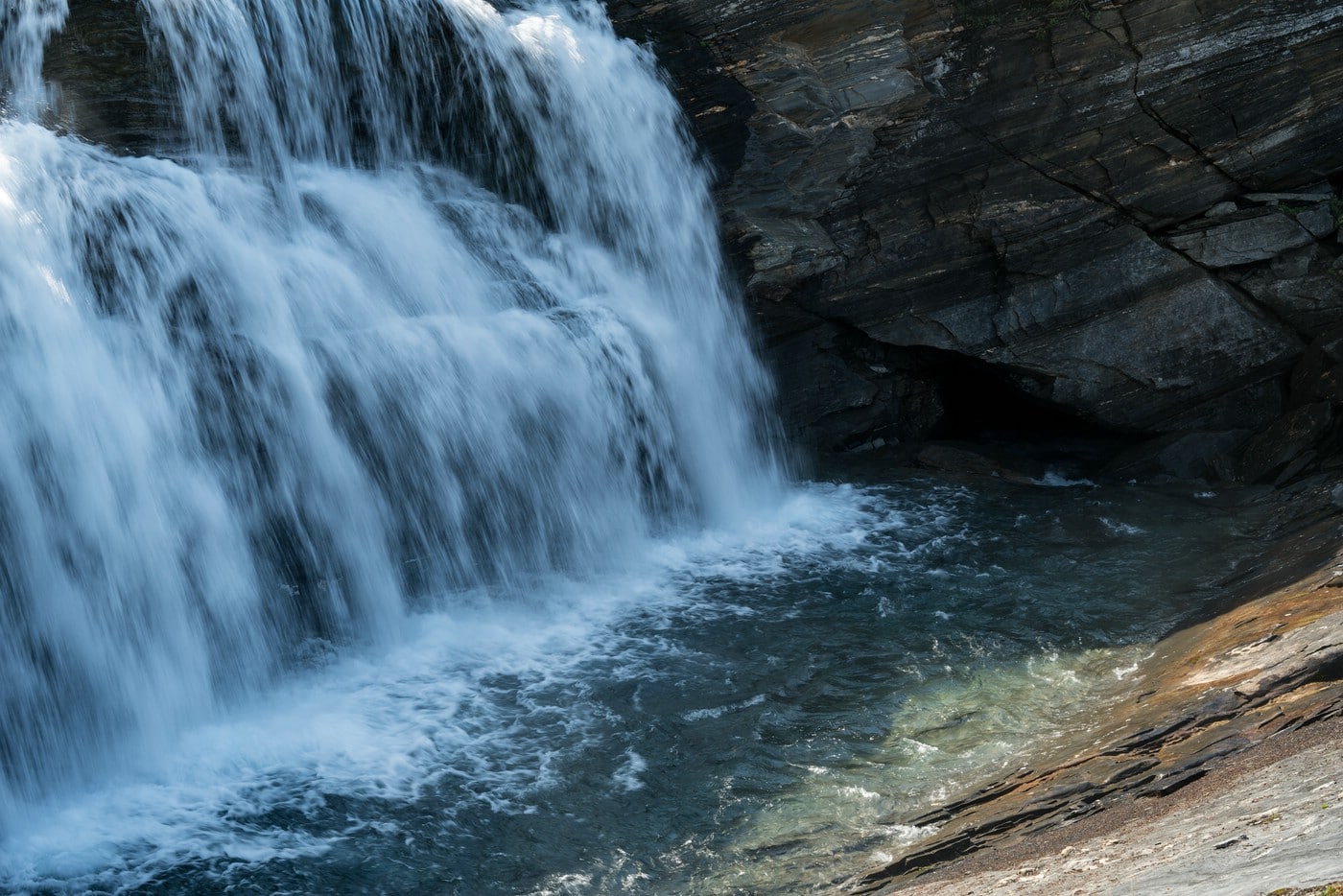
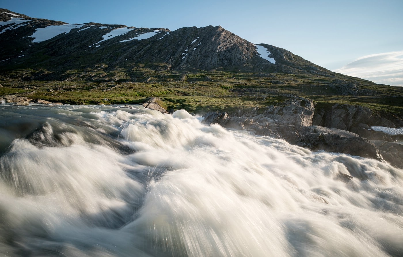
We started our hike along the lake and reached the river Skavldalselva which forms a nice waterfall which is not represented on the map. At the bottom of the waterfall the water vanishes into a tunnel making a dry passage to the other side possible.
A few kilometers further south we got a view across Storglomvatnet’s main body of water, and towards Svartisen glacier. The ice front actually reaches into the water in some places. Nonetheless, this view made us sad.
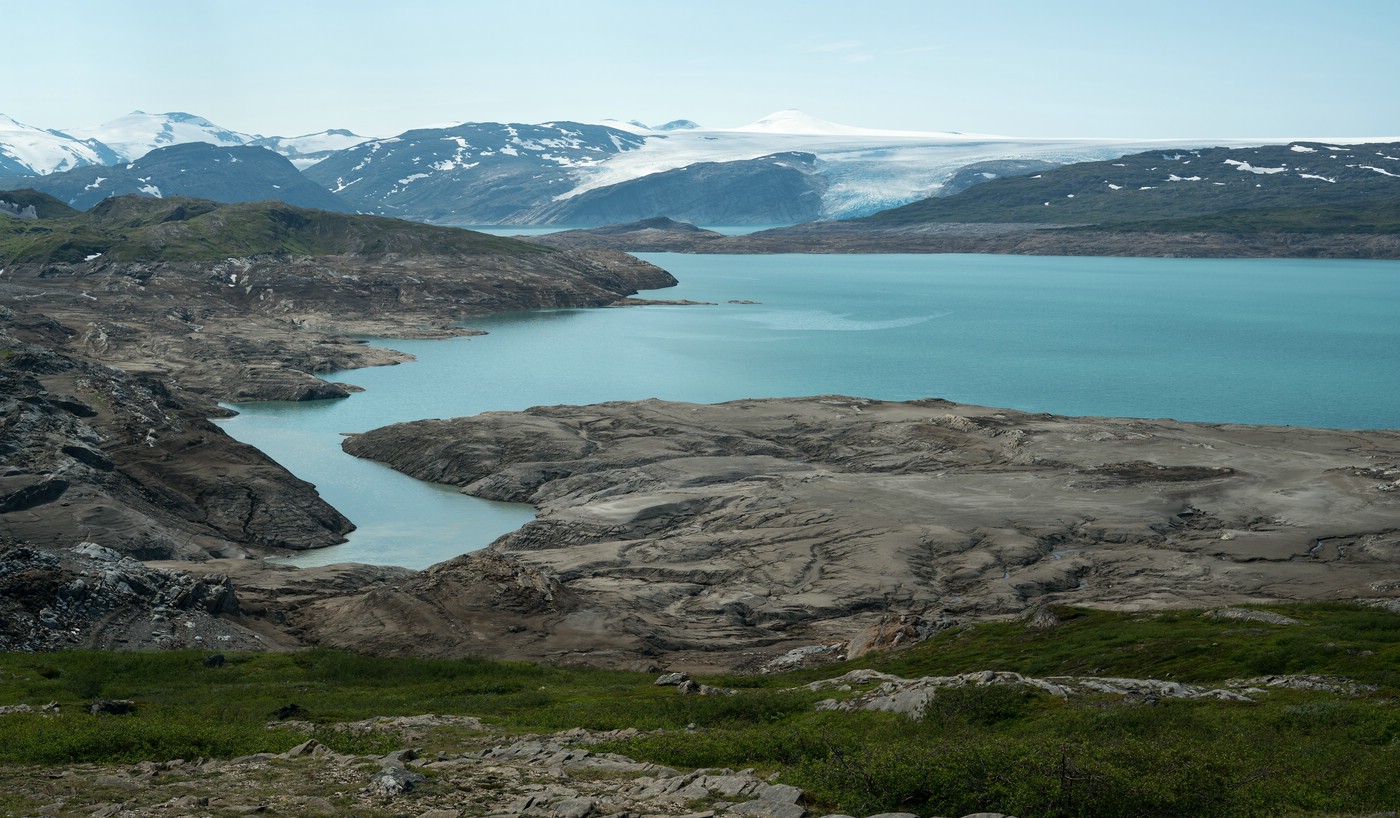
The reservoir Storglomvatnet has been created in the late 90s for producing electric power. It covers almost 30 km²; the water level fluctuates by 125 m. During low water the lakeshore is barren and void of life – as you can see in the image above. The construction of the dam has destroyed a large area of the natural landscape.
Glomdalen
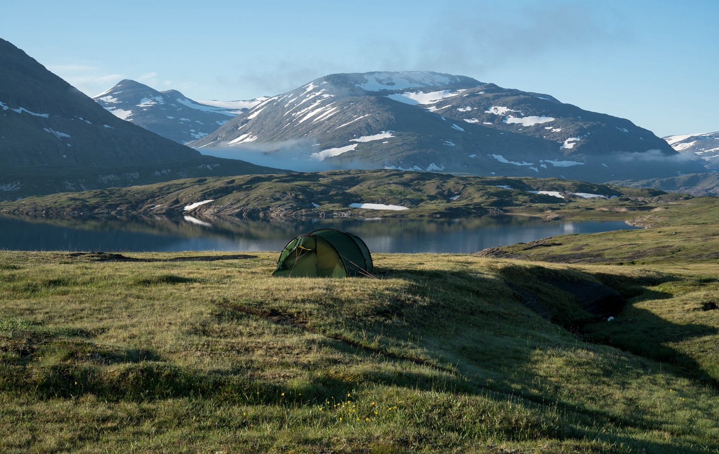
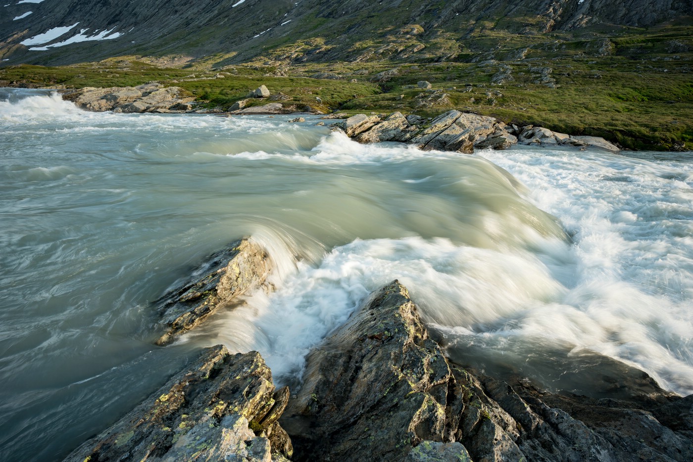
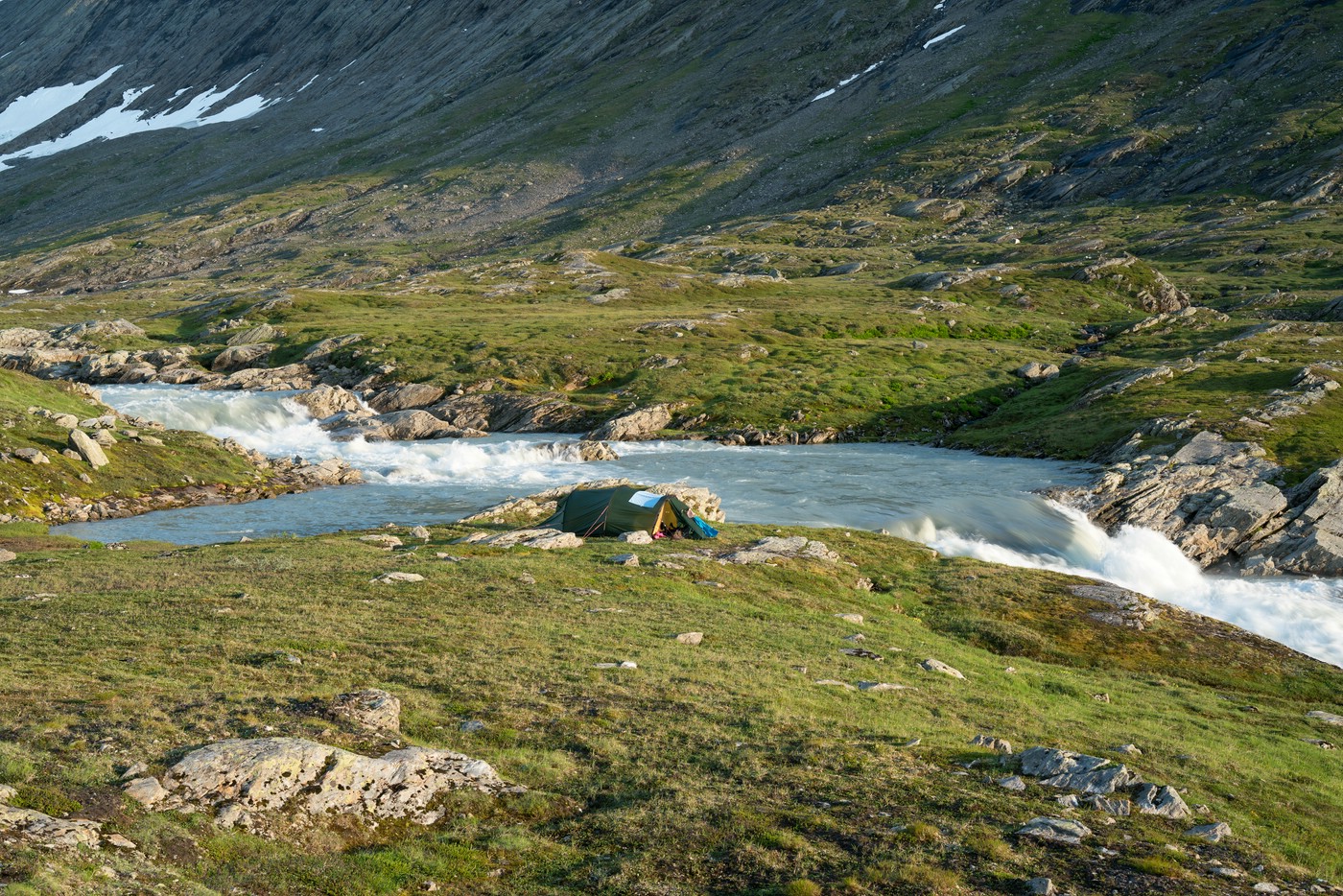
Finally, we turned east into Glomdalen. In this valley, the river Glomåga features rapids and even larger waterfalls. Although it was still early we decided to set up our camp near one of these rapids with several waterfalls just nearby.
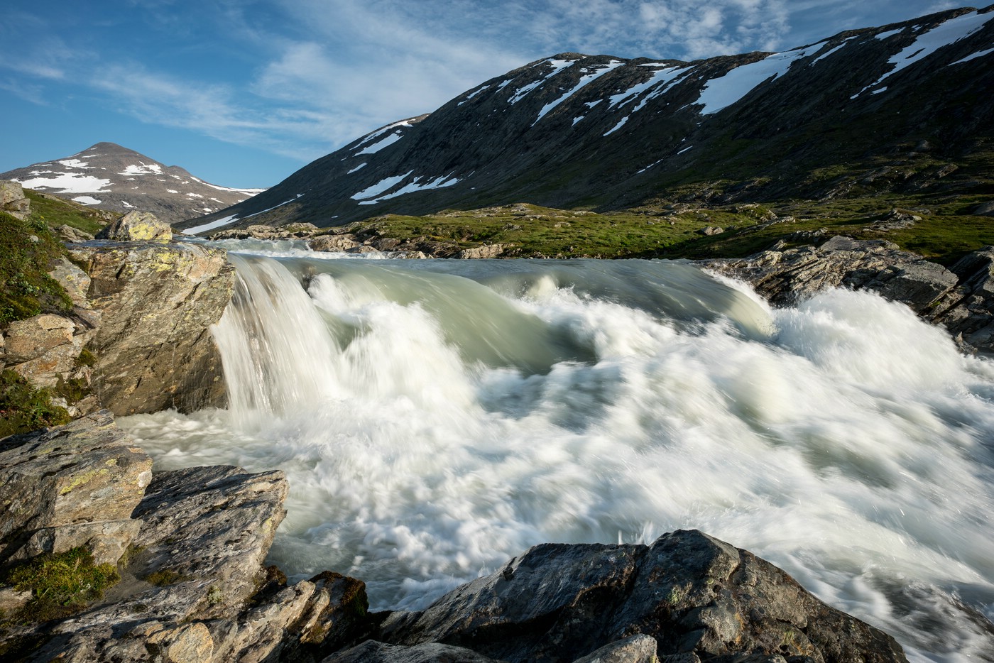
We enjoyed afternoon and evening in this beautiful location and did not get tired of watching the churning water.
The next day started with overcast skies and occasional showers. The trail ascended the north side of the valley. The higher we got, the better the views back down to the river became. Fortunately, also the weather improved.
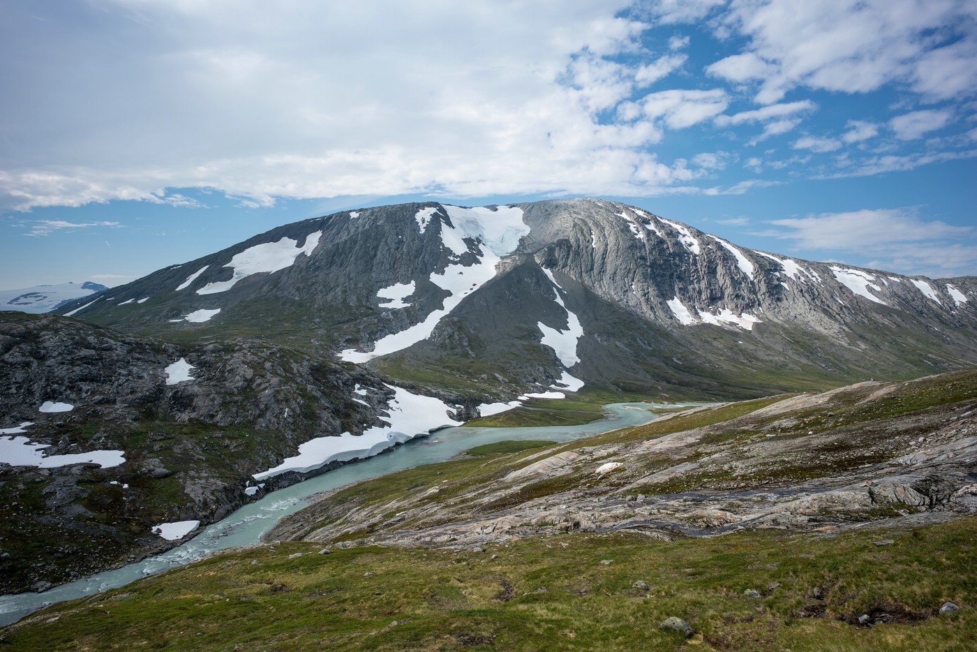
At some point it was even possible to see the glacier Svartisen on the horizon. The river Glomåga is actually a runoff of that large glacier.
Gråtådalen
From Glomdalen we turned into Gråtådalen. In this valley the BOT mountain hut Gråtådalstua is located. The hike is pleasant with easy walking conditions and only occasional bog or small streams to cross. Although the trail is marked there is often no visible path.
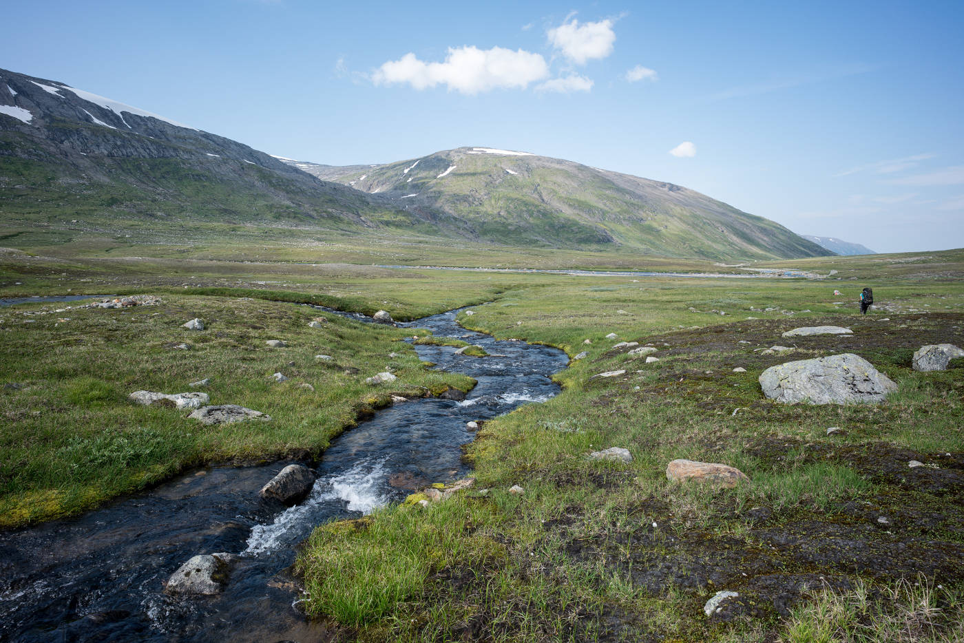
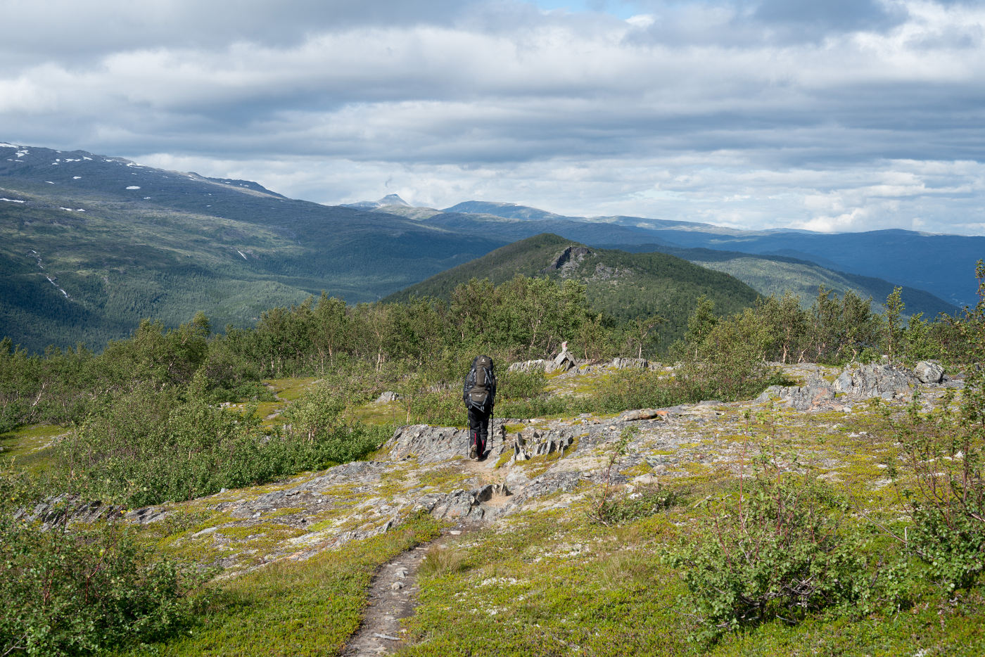
The terrain is not really spectacular in the southern part of the valley. However, it is nice to walk along the stream Gråtåga, which has some rapids and meanders. The following image was taken near Gråtådalstua:
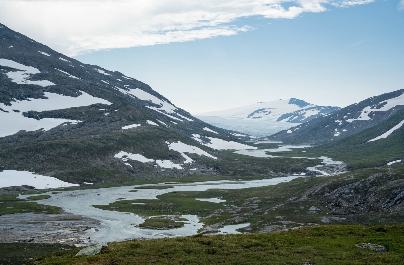
North of the hut, the trail steadily ascends Glimmerfjellet and offers some views of the nearby glaciers. These glacier fronts are actually part of the larger glacier Simlebreen, which we had seen already a few days earlier from the other side of this mountain range.
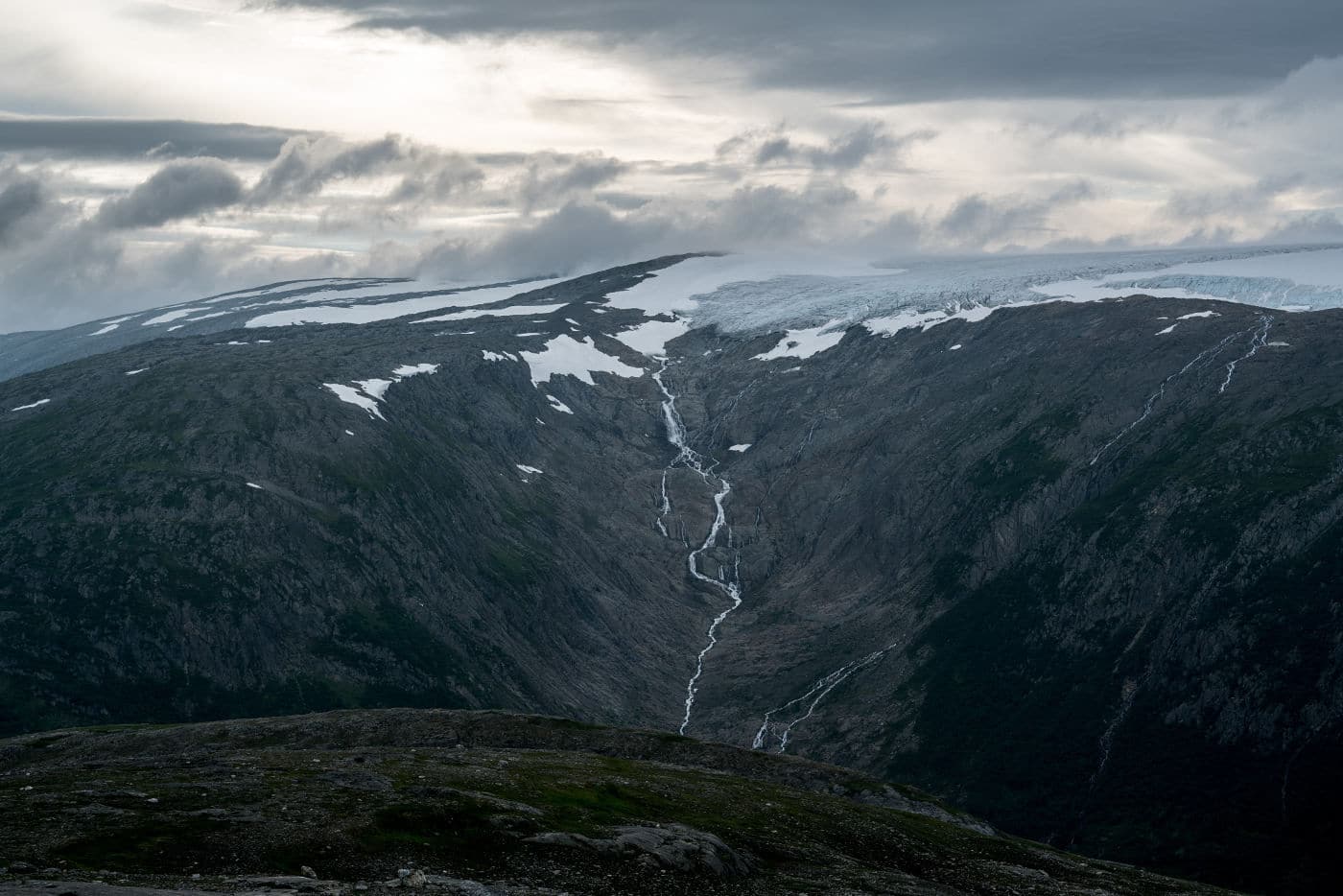
By the color of the rocks it is evident that the ice has retreated significantly in the last decades.
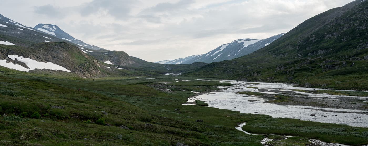
There are also interesting views back south along Gråtådalen valley:
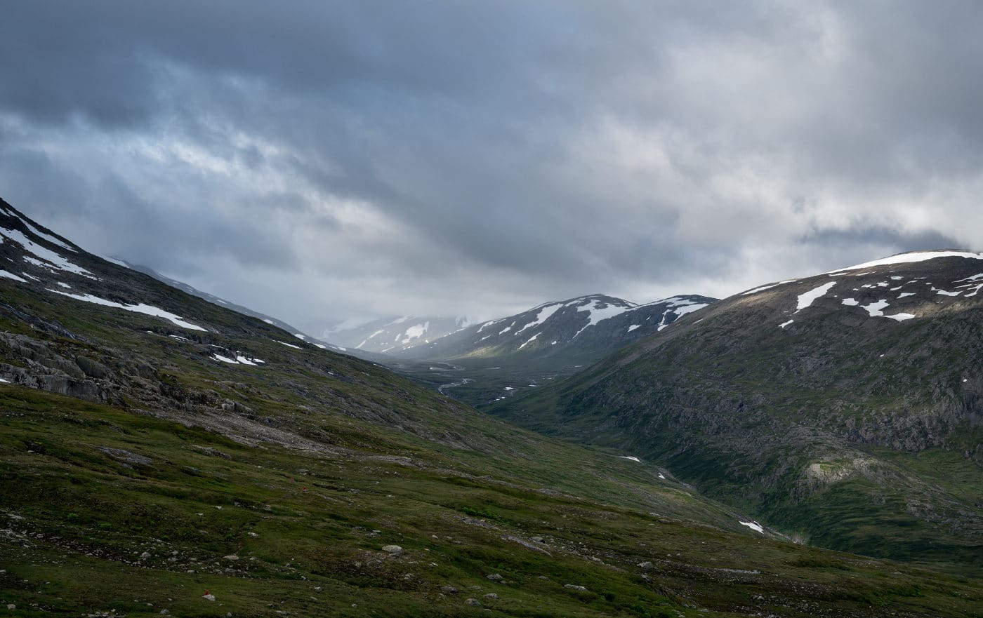
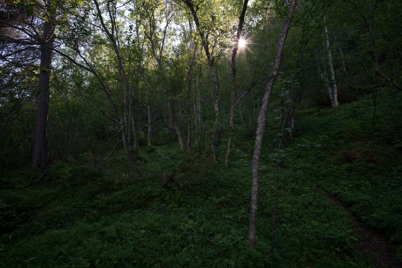
Later, the terrain opens up and the trail passes along the wide ridge of Monsfjellet before descending steeply through birch forest into Beiardalen where a small village and a road are located. After crossing the Beiarelva on the road bridge, we spent the night in the BOT hut Beiarstua which also provides a wood-fired sauna.