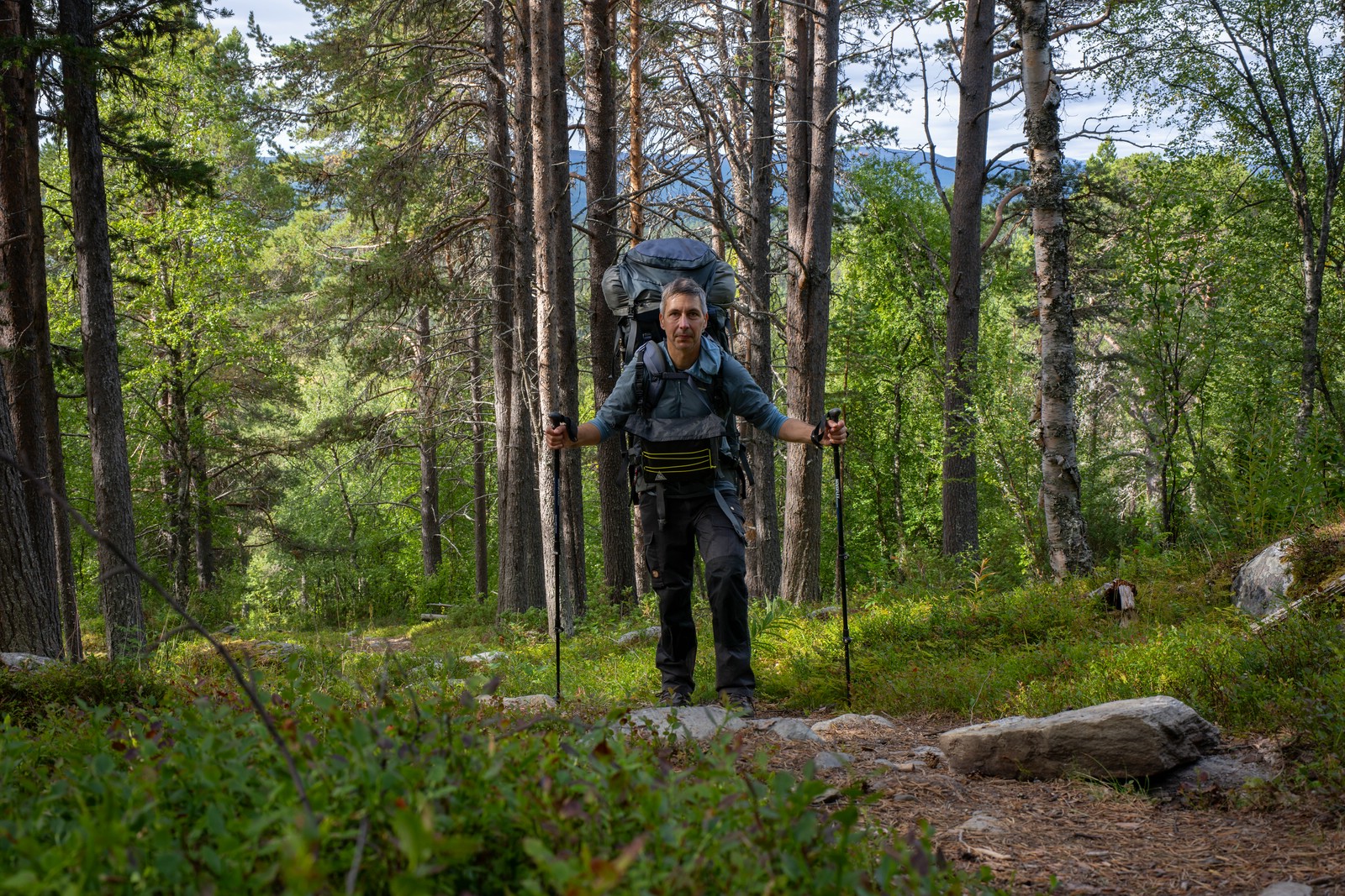
Below is a day-to-day trip report and selected photos covering my 16‑day hike from Jäkkvik to Kvikkjokk through Arjeplogsfjäll and southern Sarek. I walked mostly off-trail and camped wild each night (except one night in a hut). A packraft helped me with lake crossings and I sometimes just used it “for fun” or to avoid difficult terrain. There’s also a video documentation.
Jäkkvik – Riebnes
Day 1
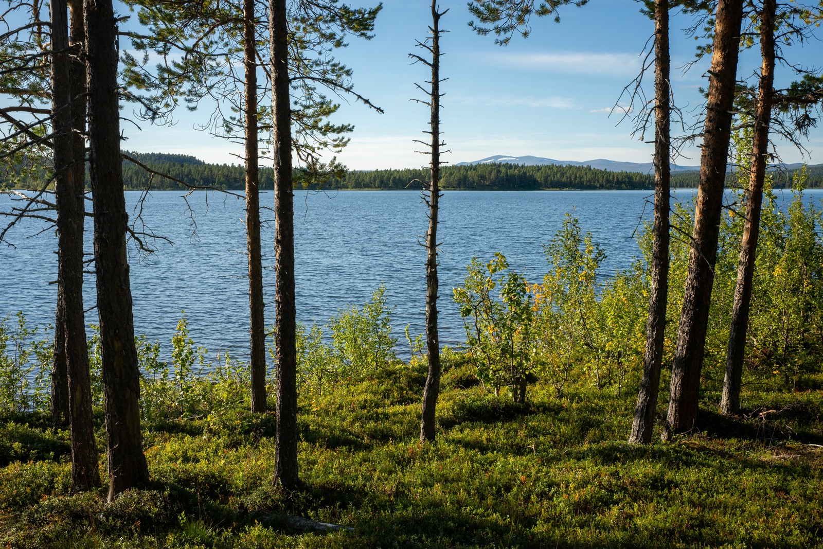
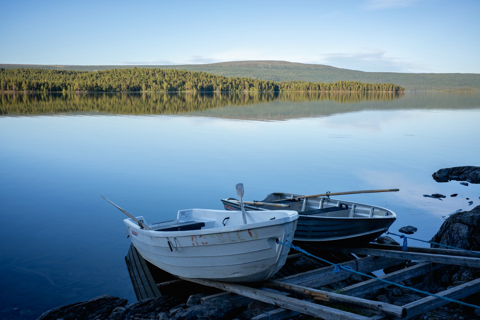

In the afternoon of August 27 my bus arrived in Jäkkvik and I headed north on Kungsleden. After a few kilometres I reached Tjårvekallegiehtje, a lake crossed by rowing boats. Two boats were available on my side, so I made a single crossing and camped on the opposite shore.
Day 2

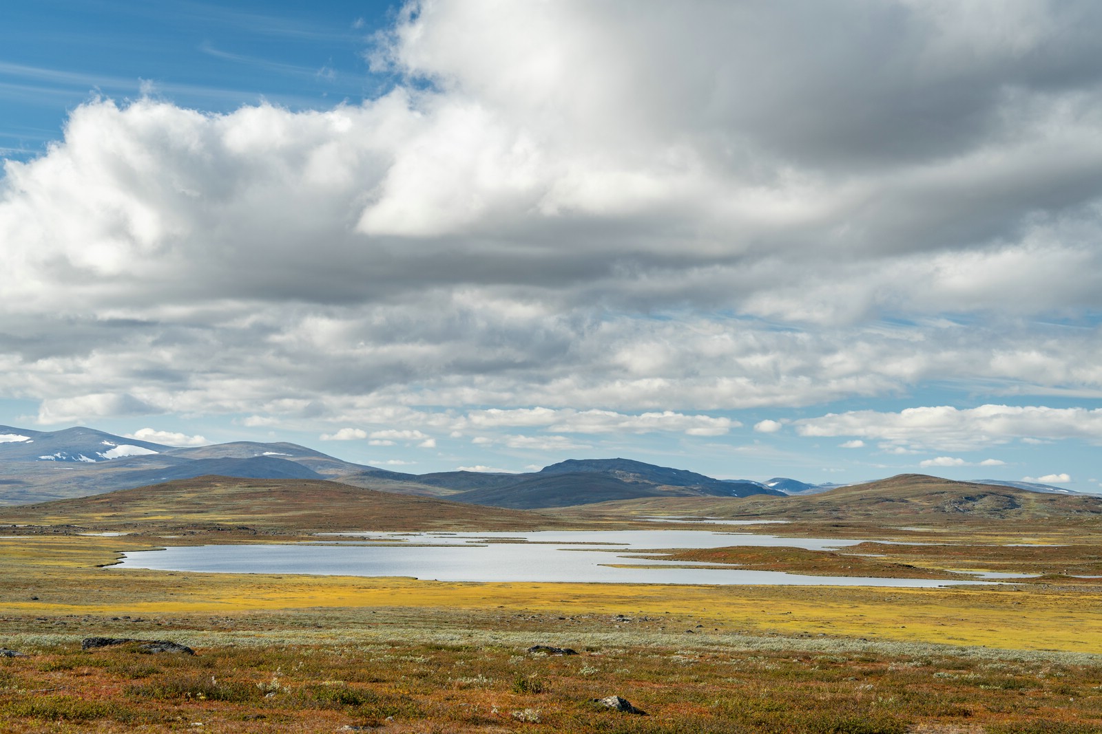

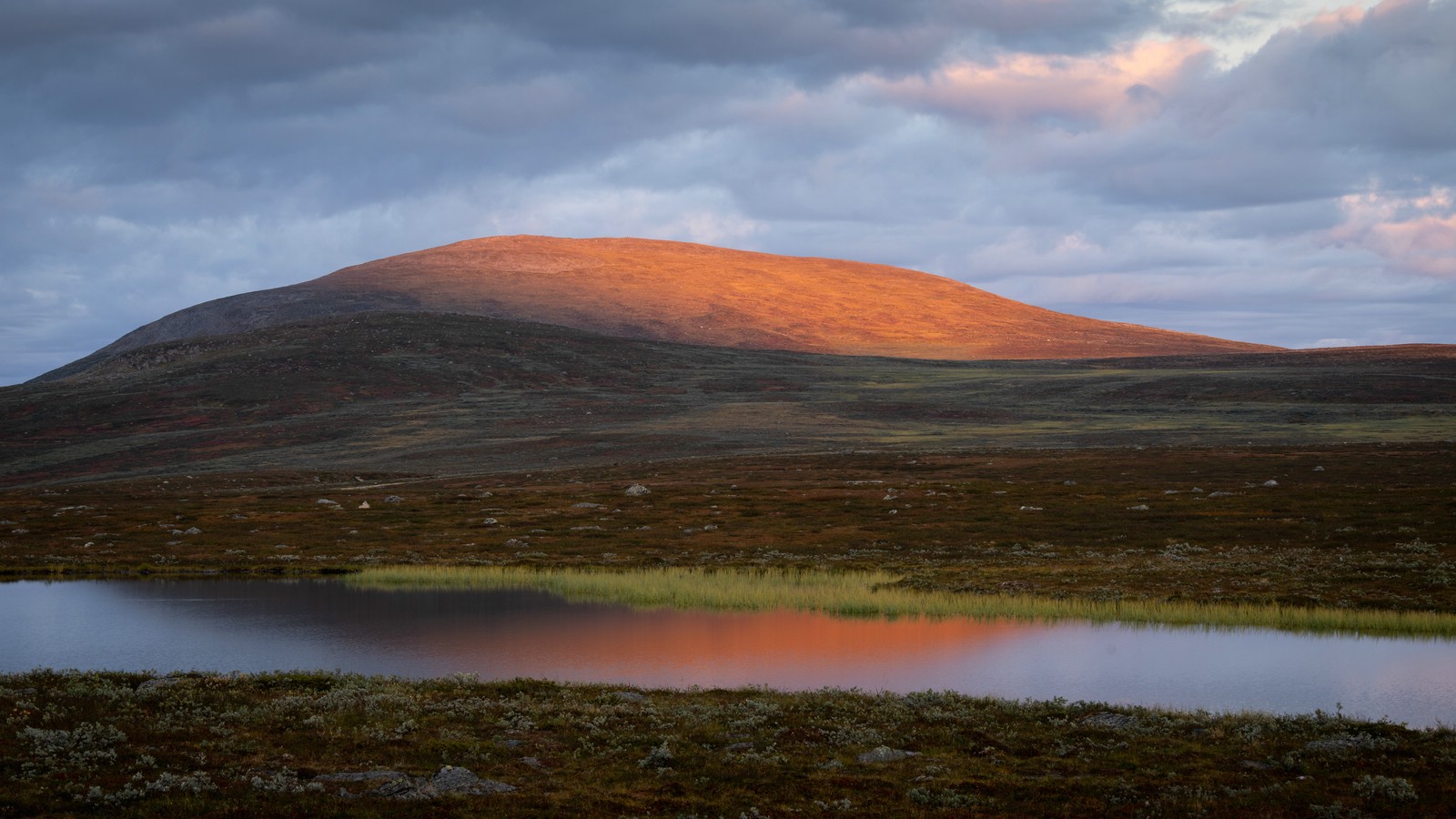
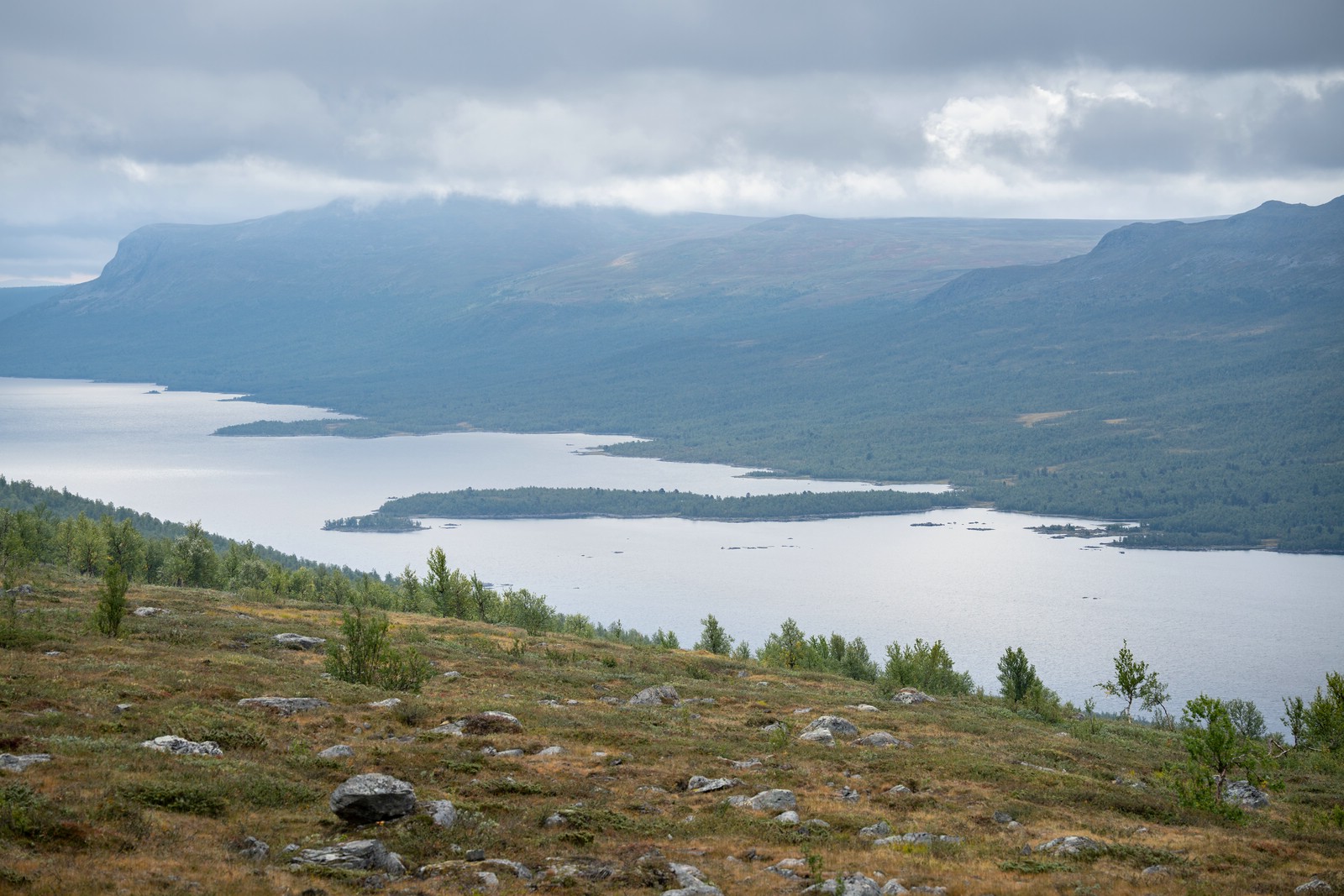
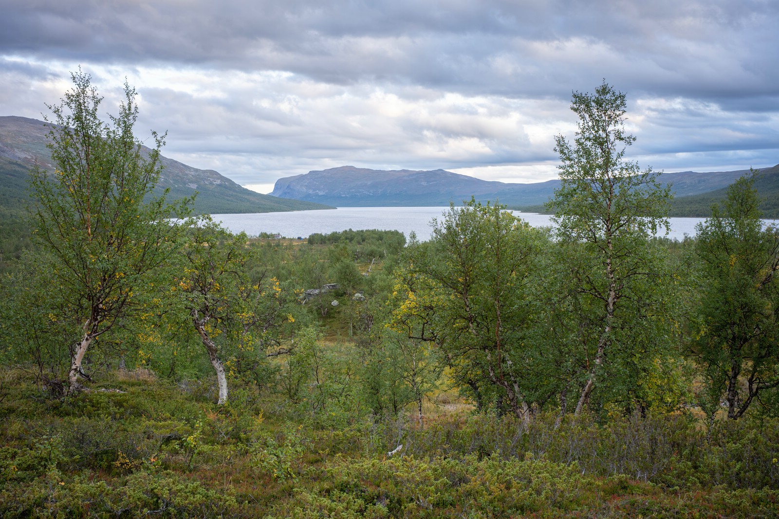
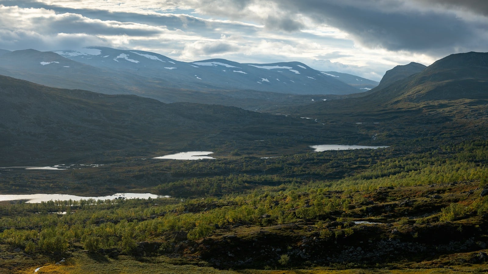
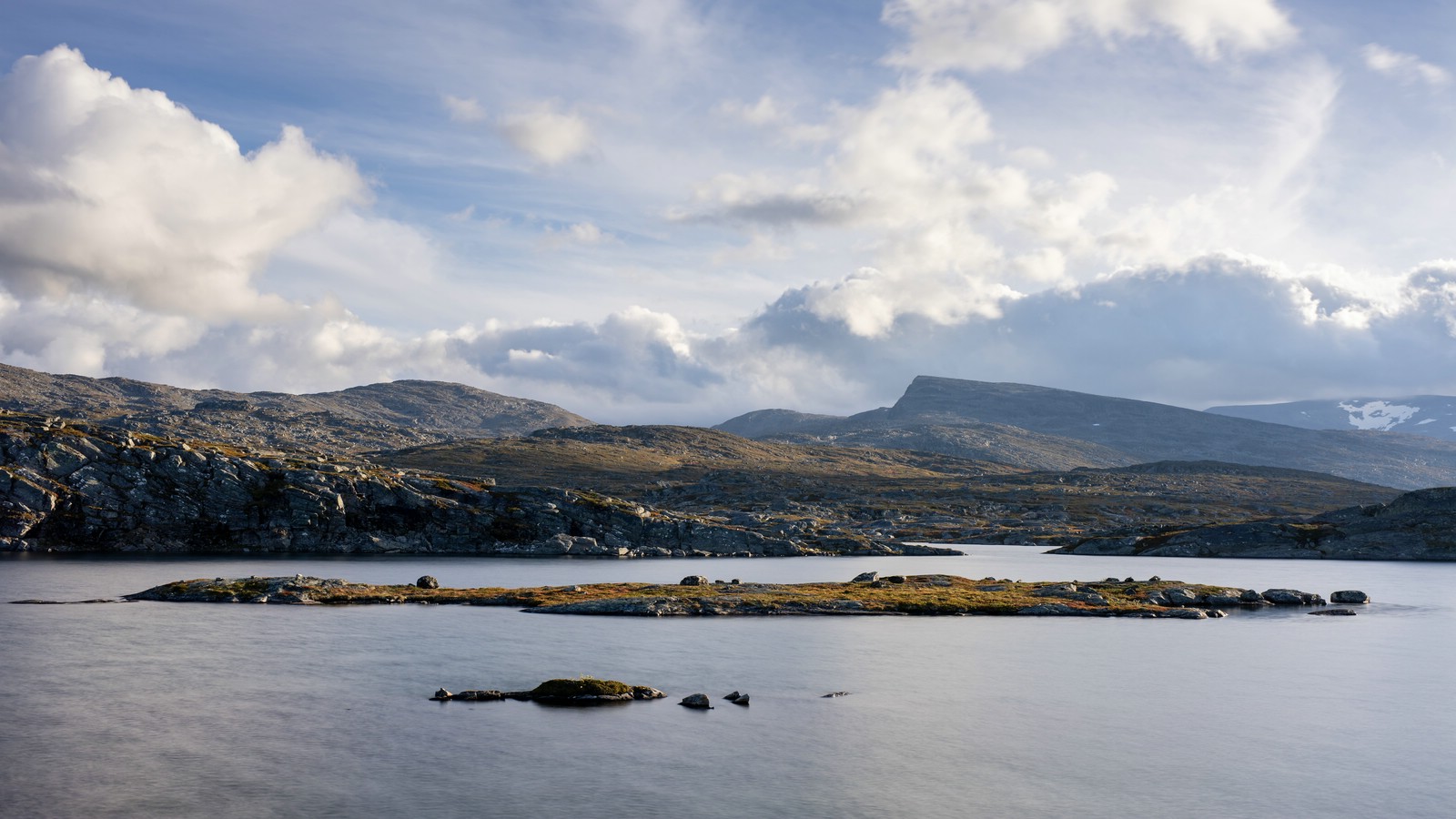
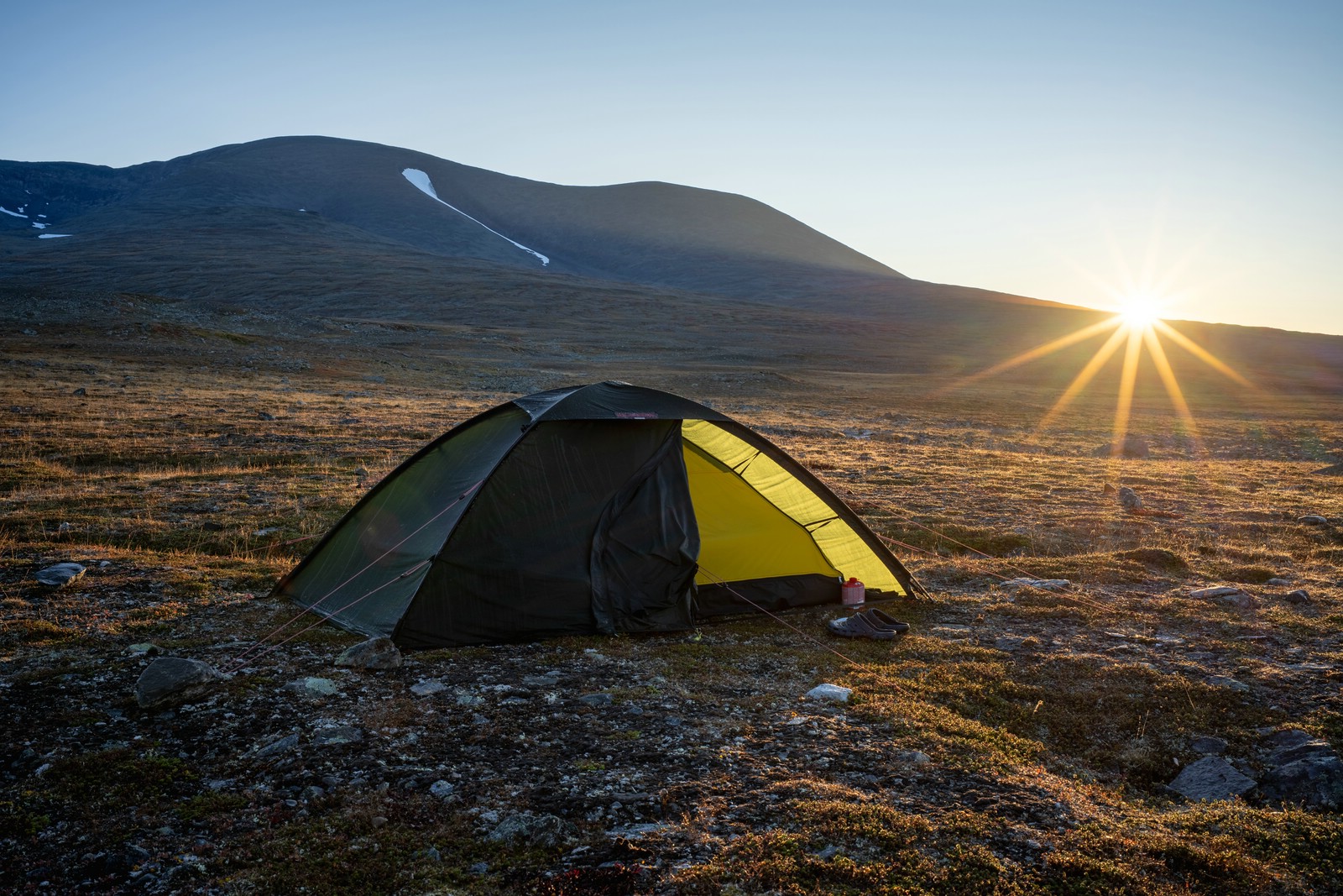
Continued on Kungsleden, climbed above the treeline, then left the trail to head northwest while maintaining roughly the same elevation. The plateau offered broad views as I approached an area of many small lakes and a few larger ones. I pitched the tent beside Gárvajávrre and watched the evening light paint the water and sky.
Day 3

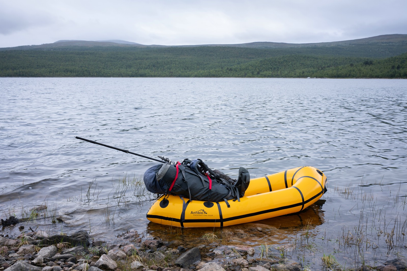
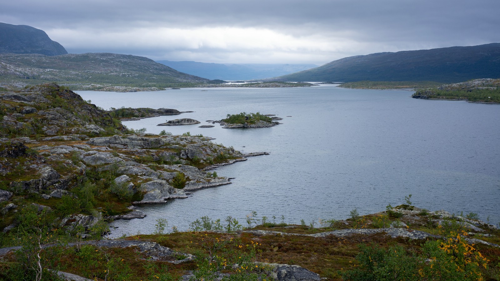
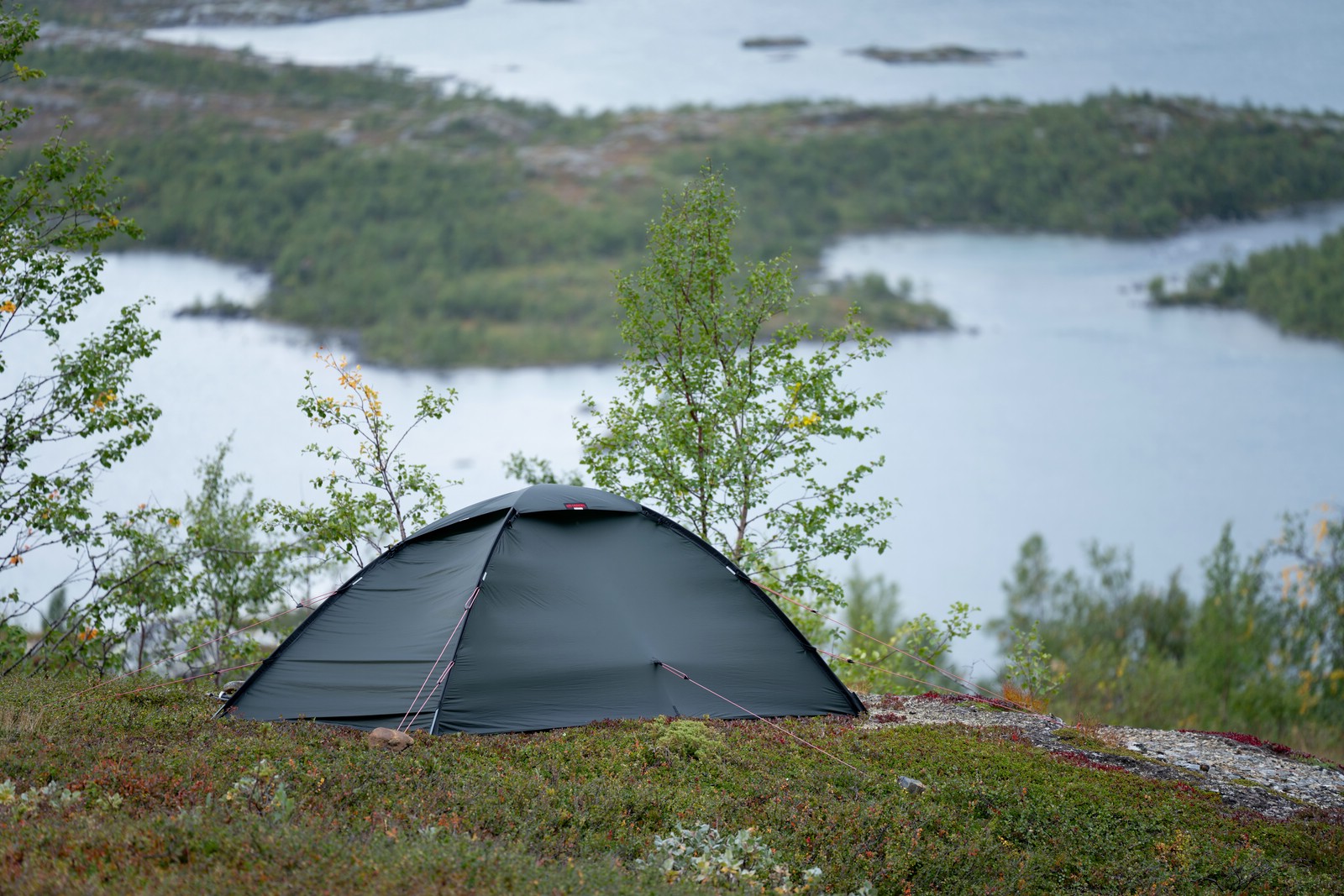
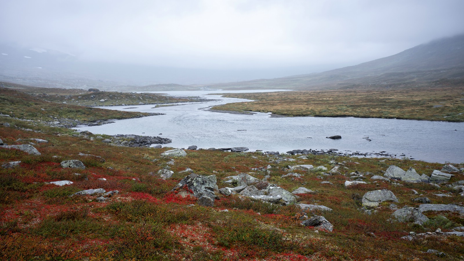
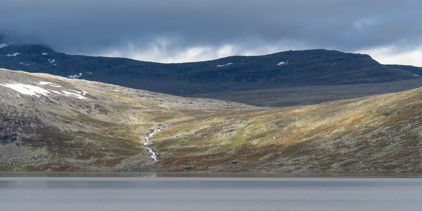
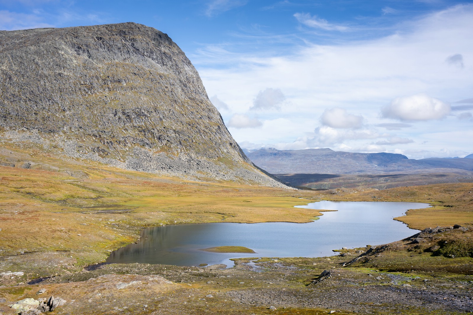
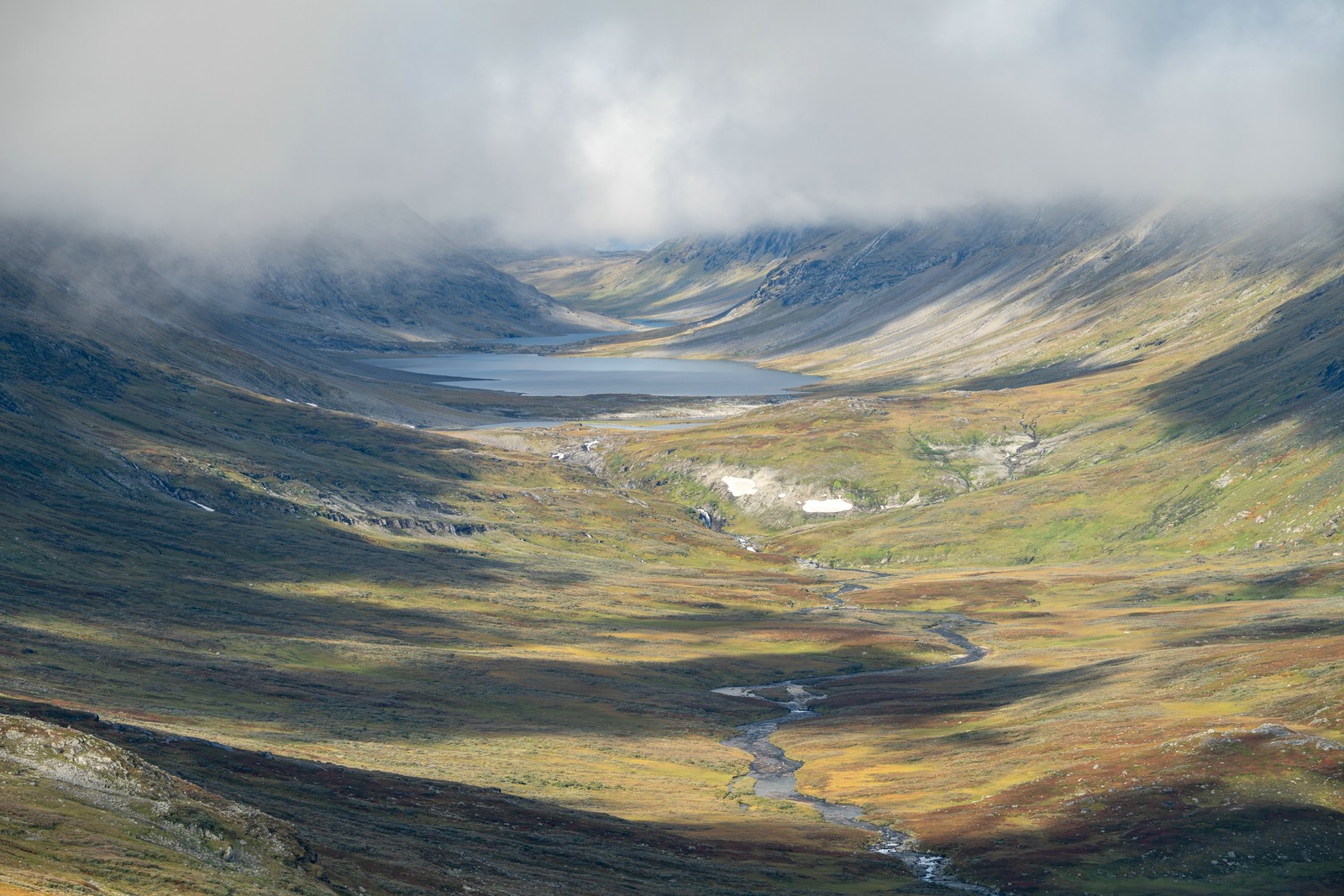
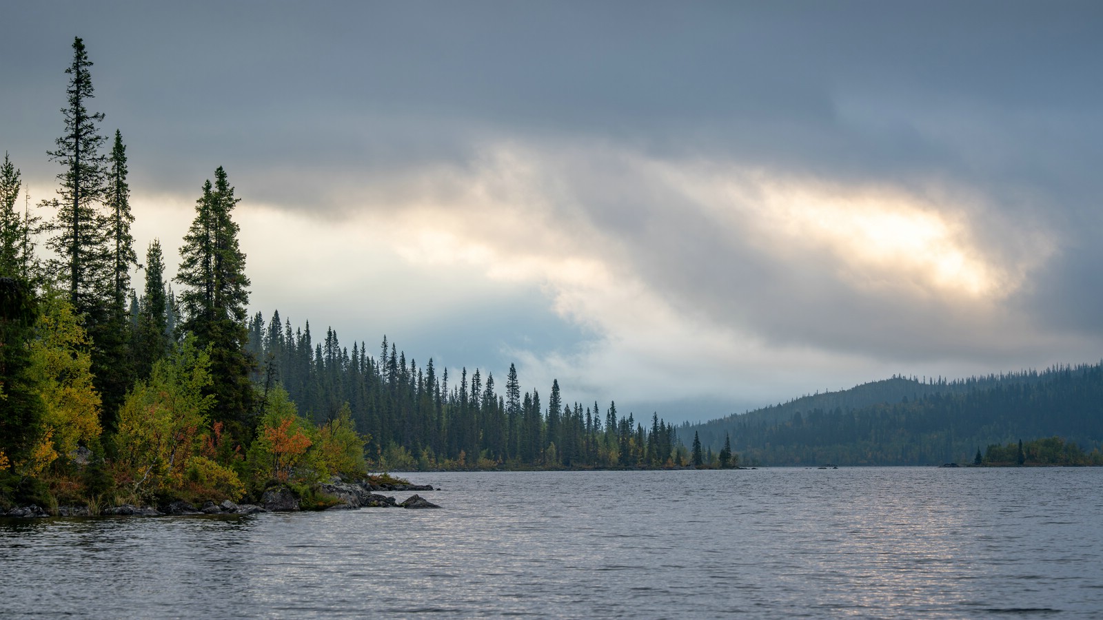
Woke to fog and pushed northwest toward the pass between Tjåkålisduobak and Tjåhkalis. A mapped trail exists there but is intermittently unwalkable in summer; only winter markers remained in sections, so I traveled off‑trail toward the shoreline of Riebnes / Gruombajávrre. Shoreline terrain proved difficult, so I inflated my packraft and crossed the lake instead of detouring to a bridge as planned. After the crossing I hiked partway up the next slope and camped on a slightly boggy spot, tired but satisfied for the day.
Riebnes – Bartávrre – Máranjávrre
Day 4

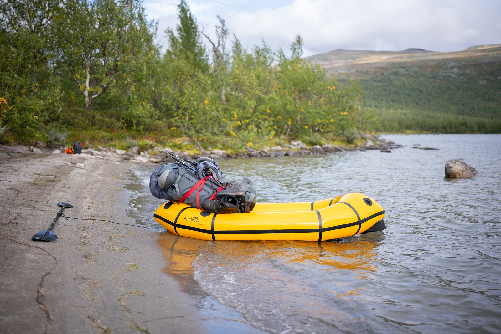
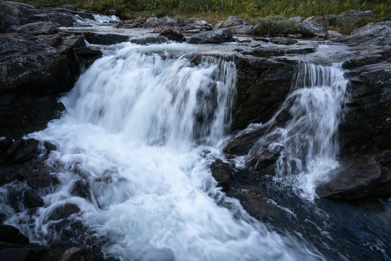
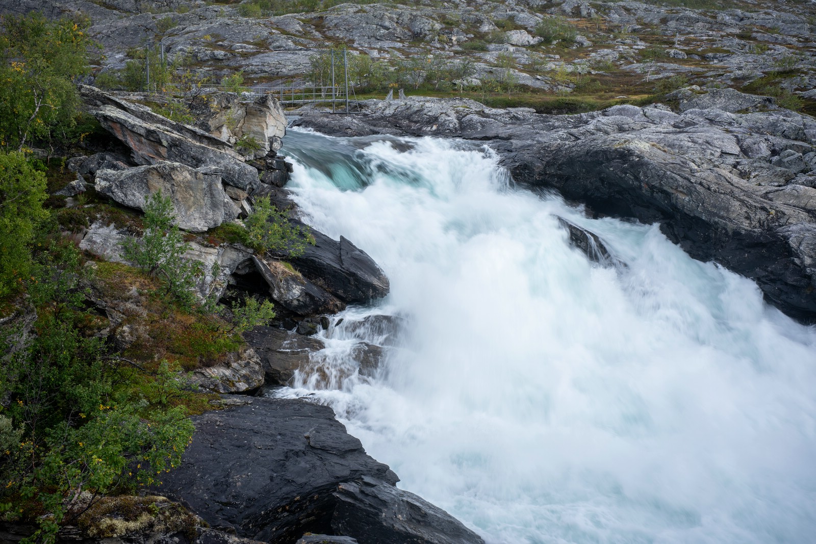
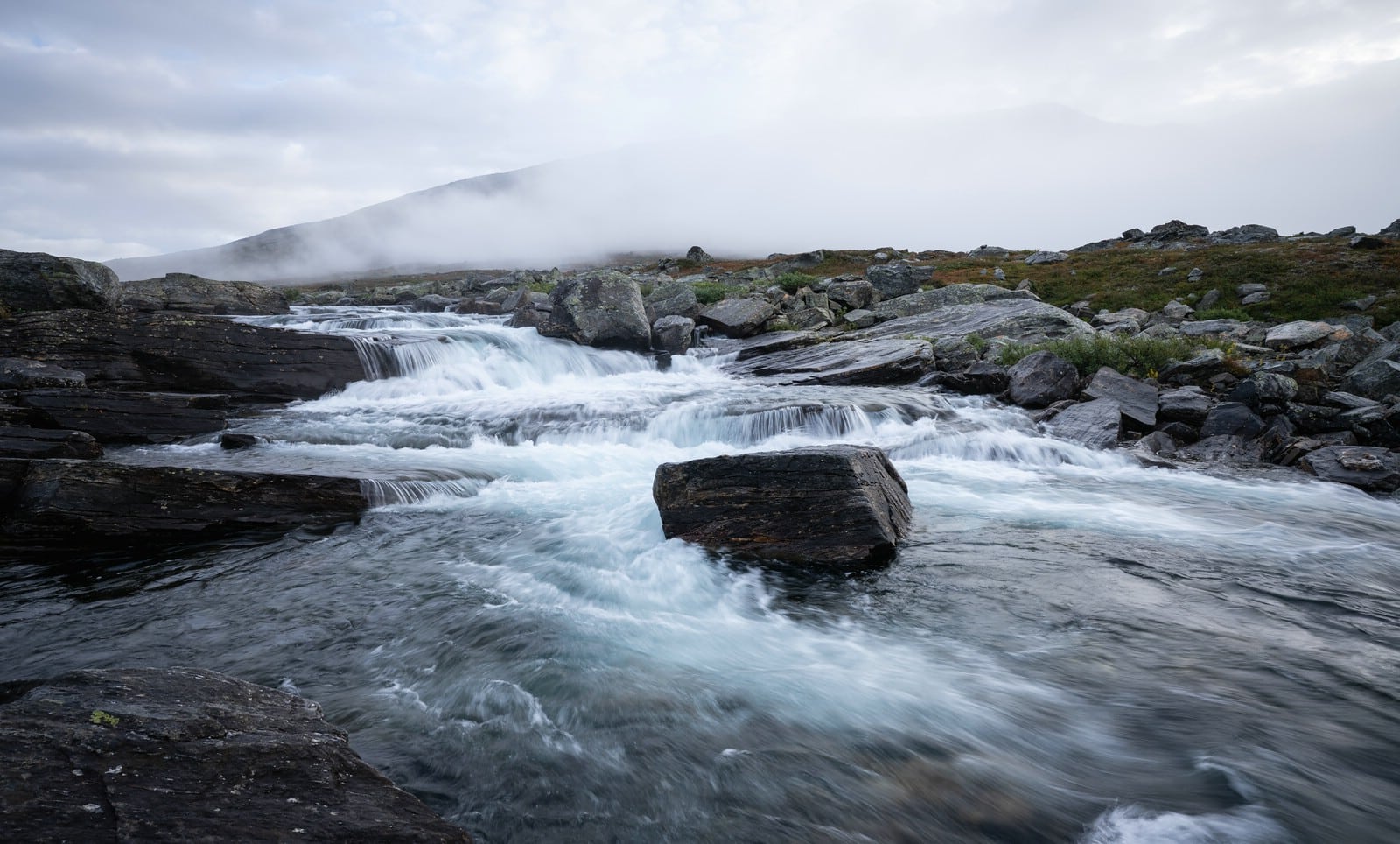
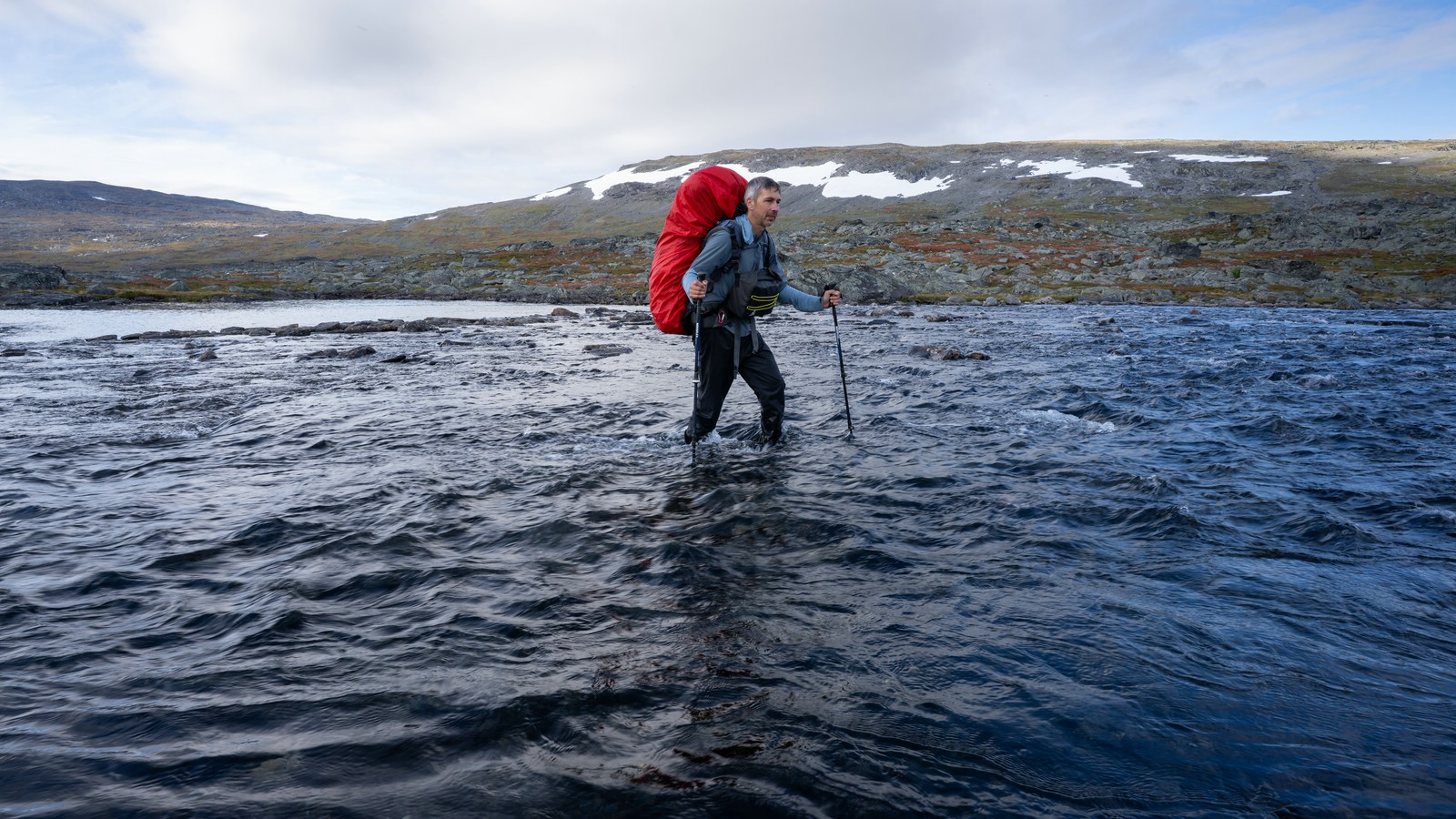
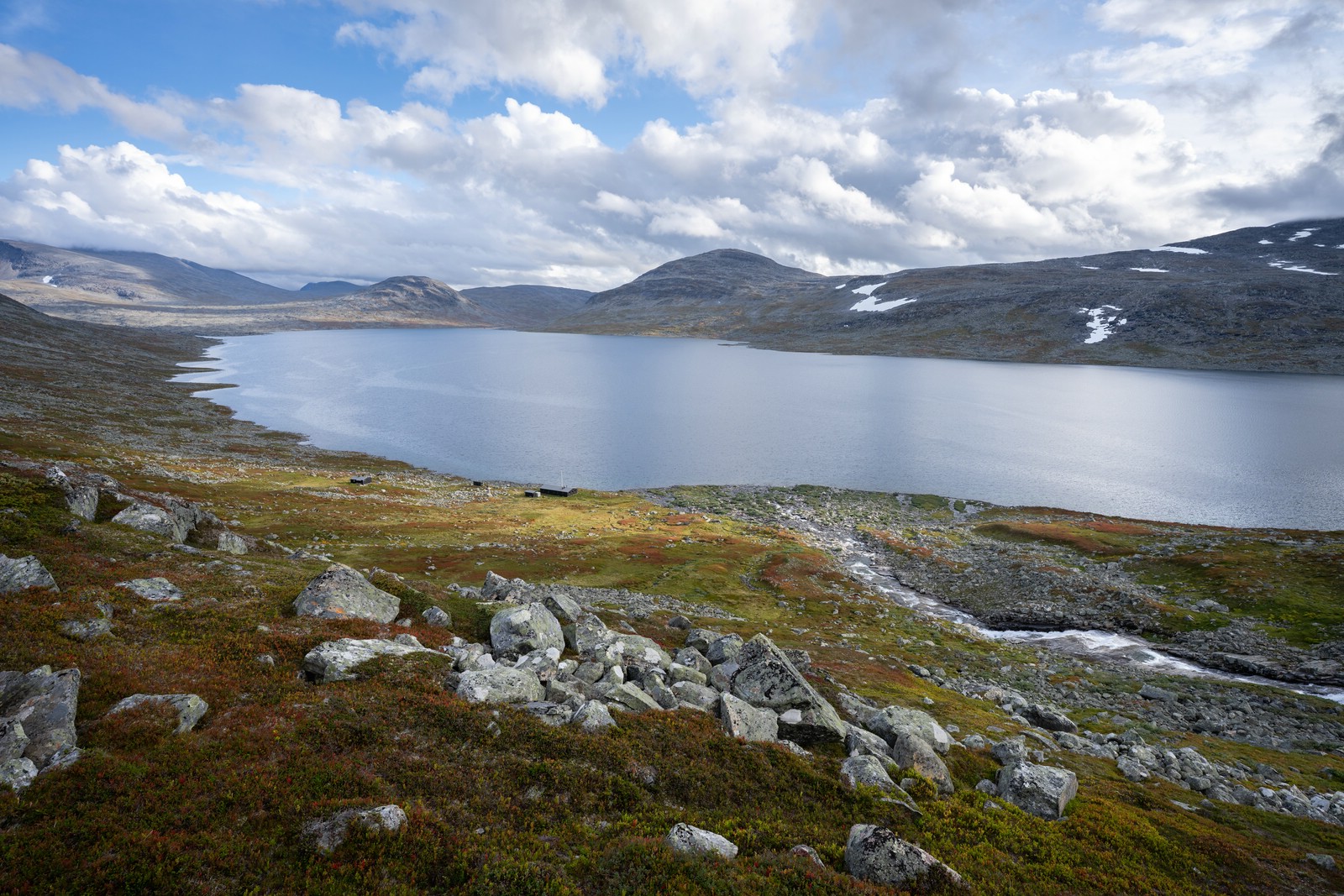
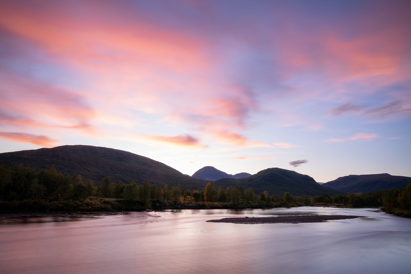
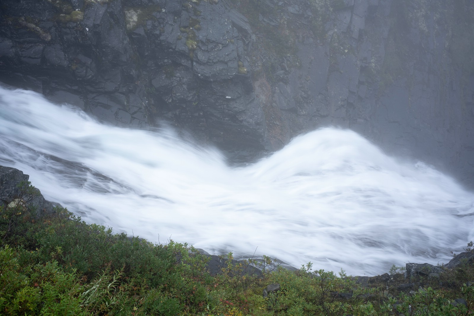
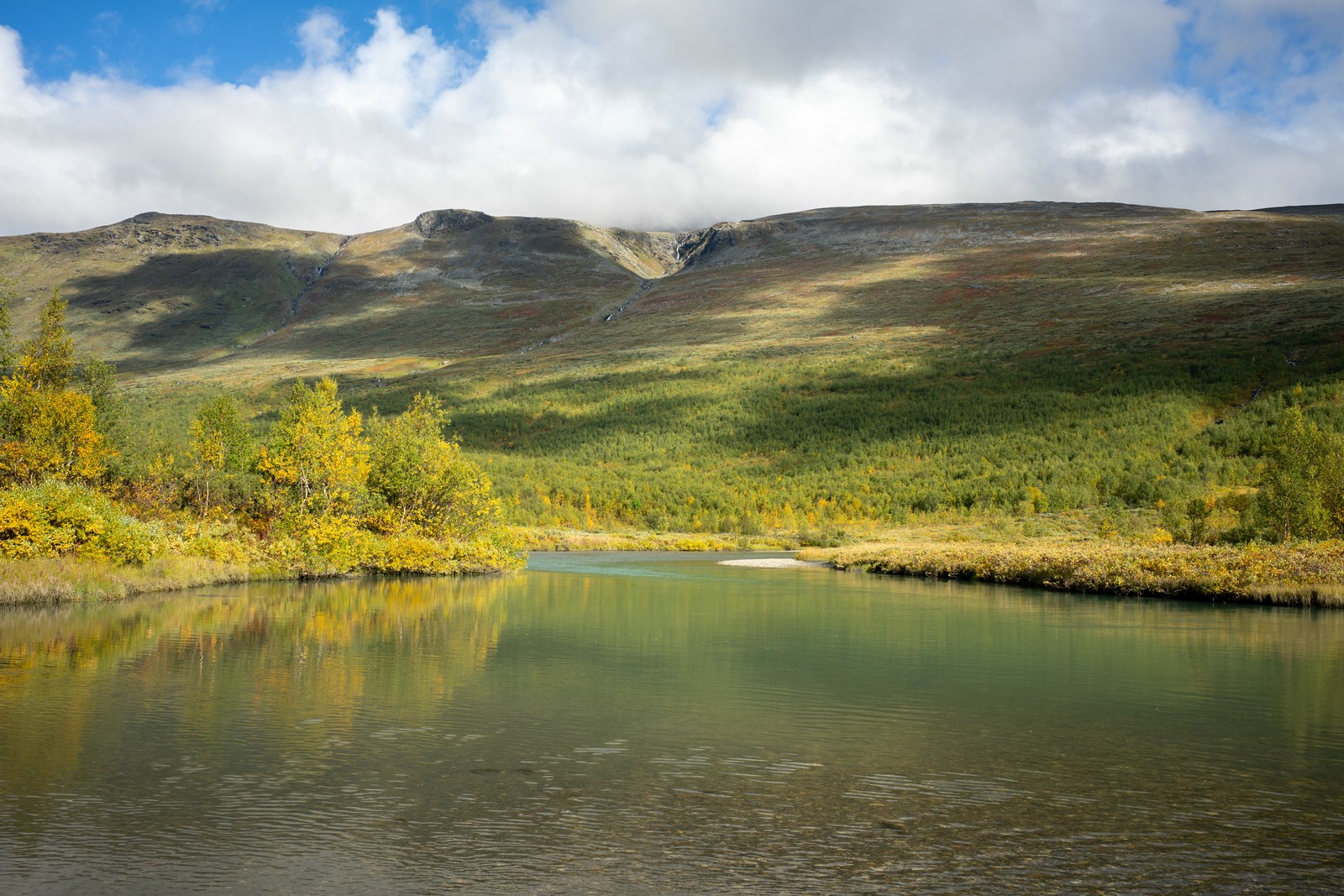
Pushed higher through dense, pathless vegetation – slow and strenuous until the treeline opened to wide views over Riebnes. I crossed the high plateau by Gädgávre, then descended to the western end of Bartávrre. A packraft was essential there to avoid a long western detour. I paddled toward the left bank of the Máranjåhkå outlet, packed ashore, and followed the stream upstream a short distance to a striking waterfall. Found a good campsite nearby.
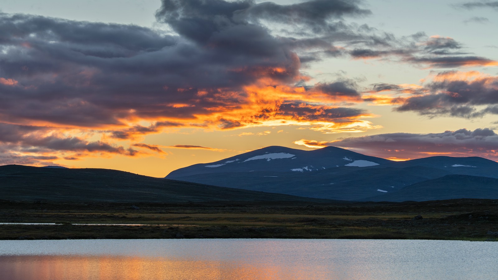
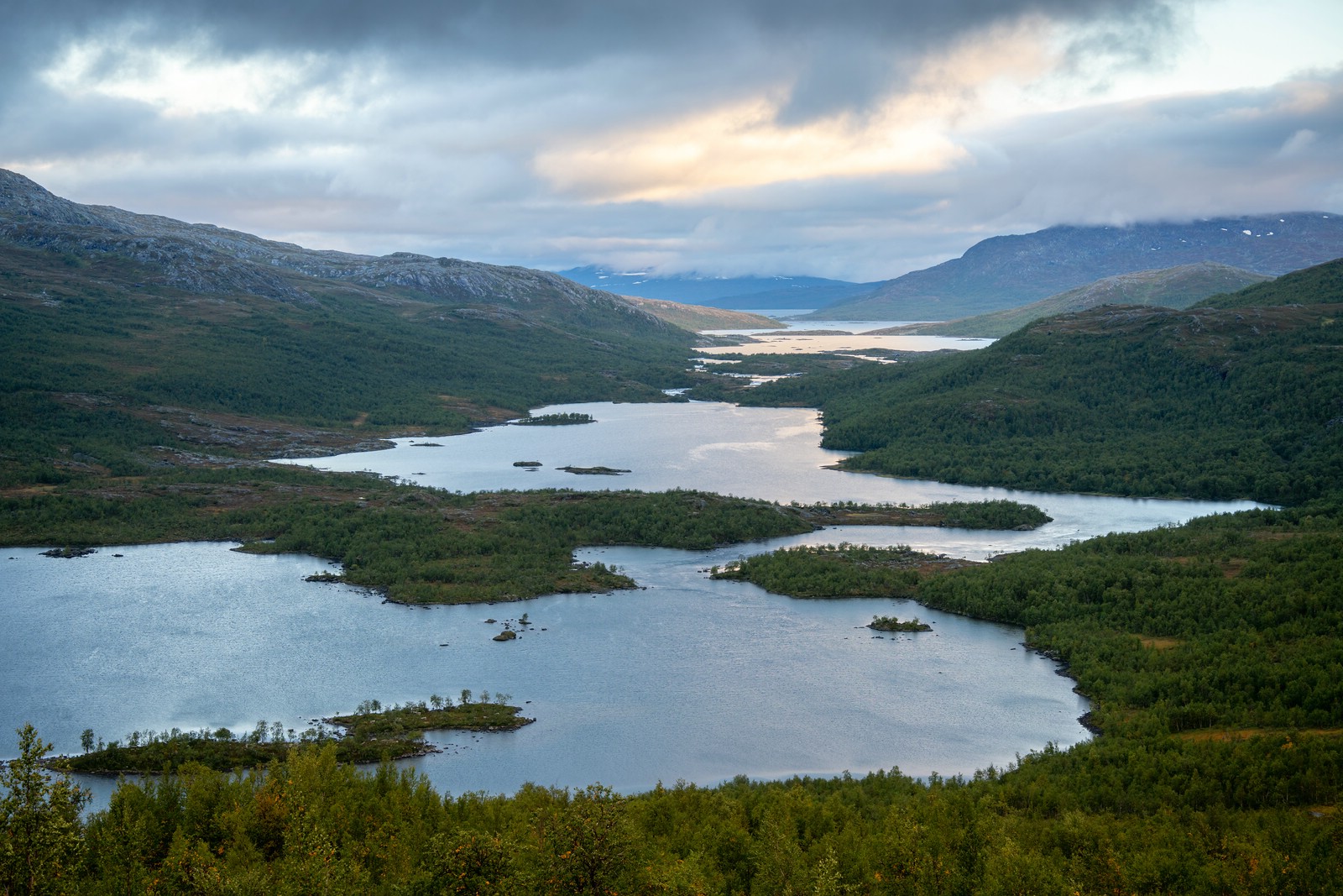
Day 5
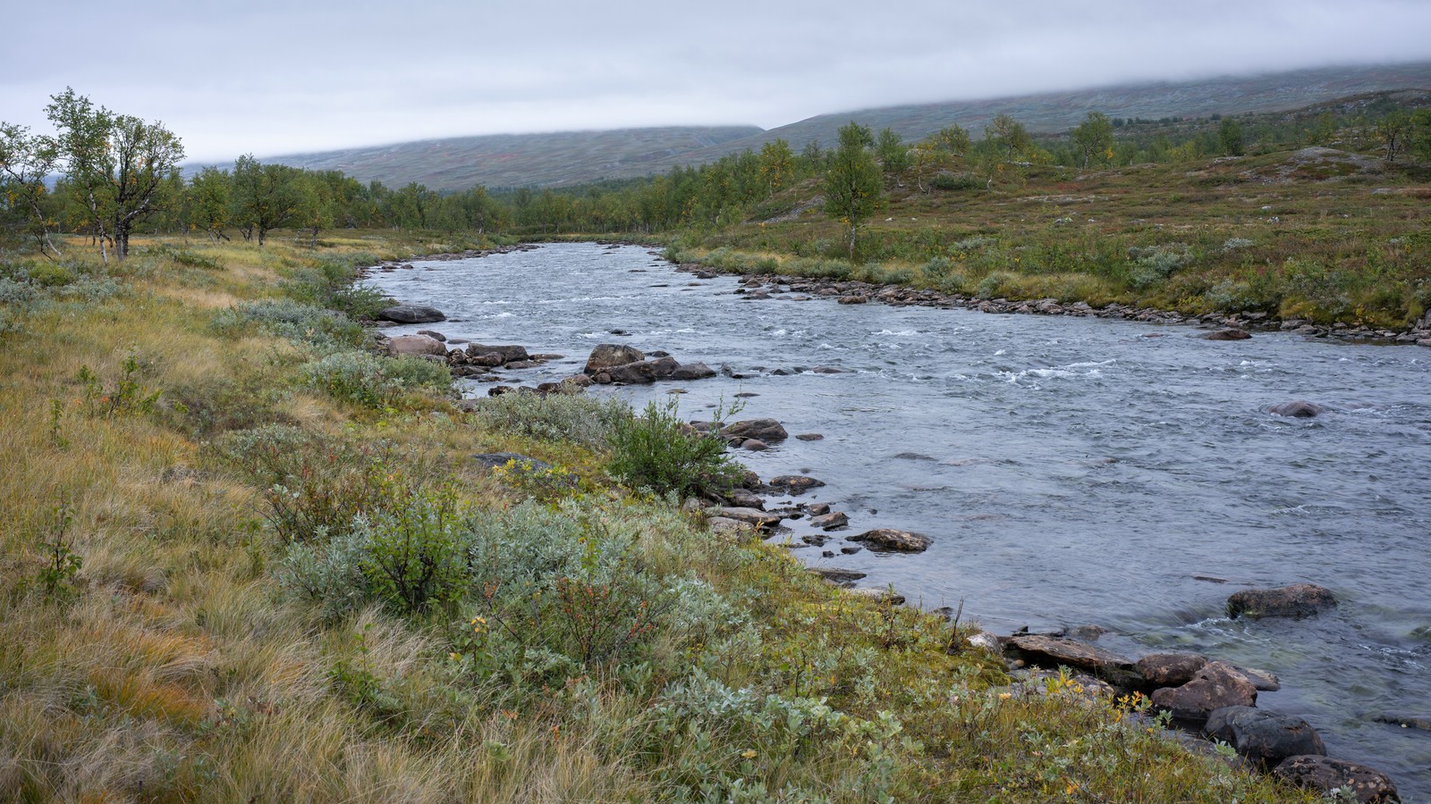

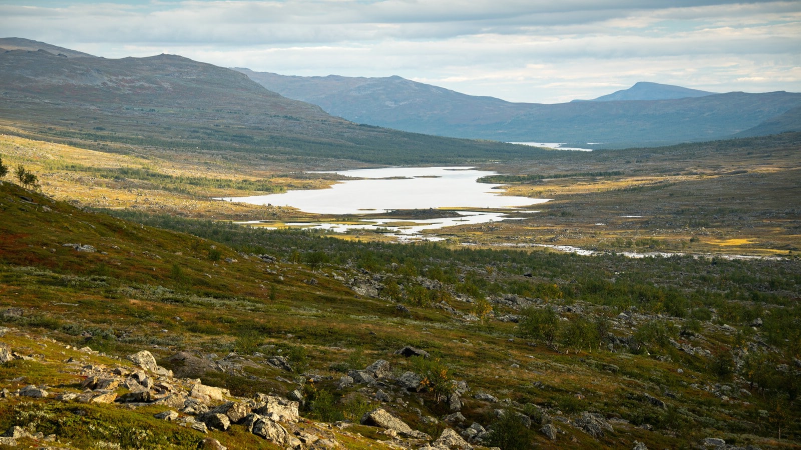
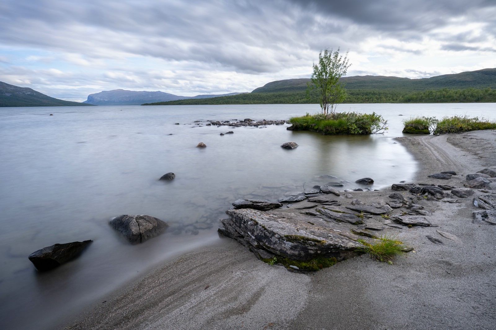
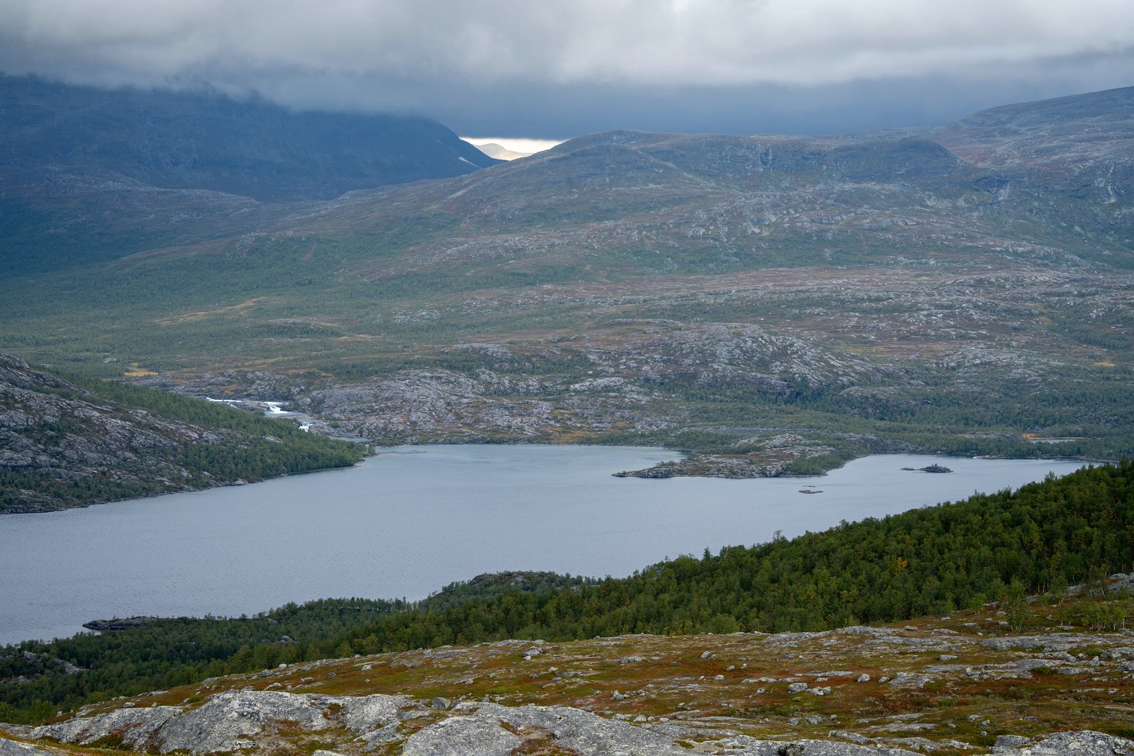
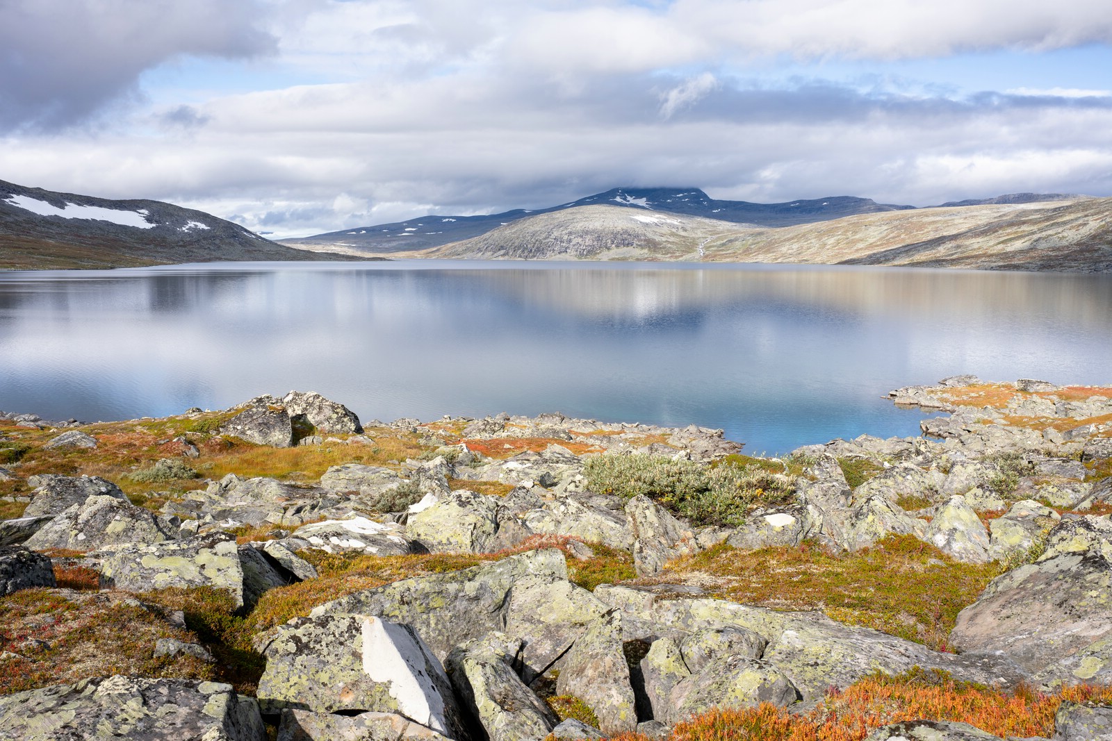
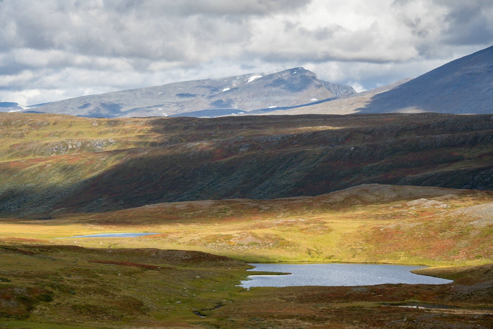
Followed Máranjåhkå upstream to Máranjávrre, then continued north along the lake shore. After Návlekjávrre I crossed a stream and climbed steeply; I dumped my bag on the first flat spot I found. Then I hiked 1–2 km southeast without my pack to get unobstructed photos of Máranjávrre in soft light. I returned to my bag and set up my tent.
Máranjávrre – Miekak
Day 6
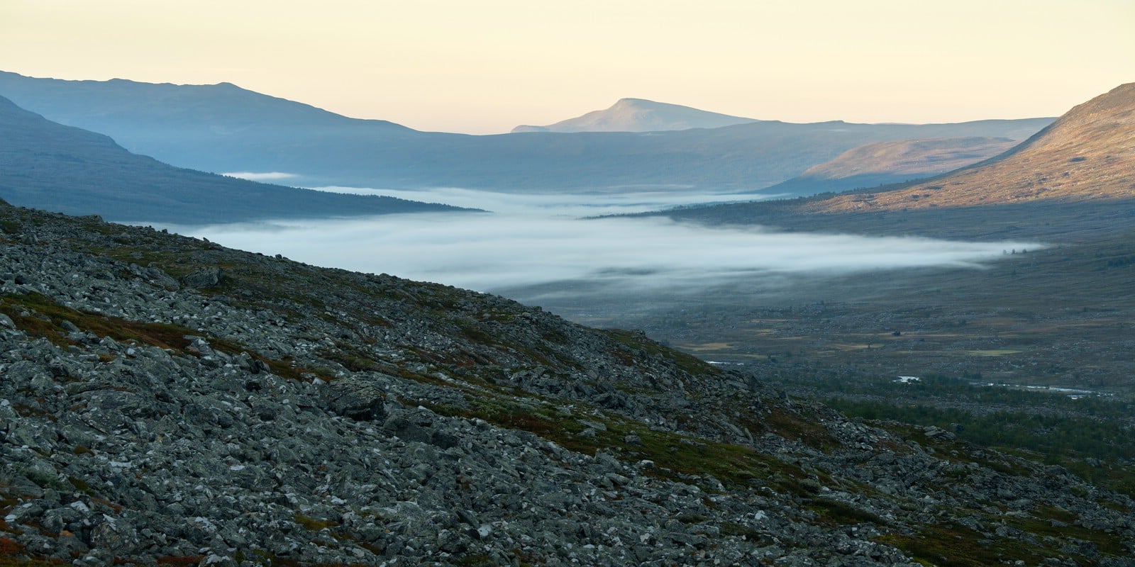
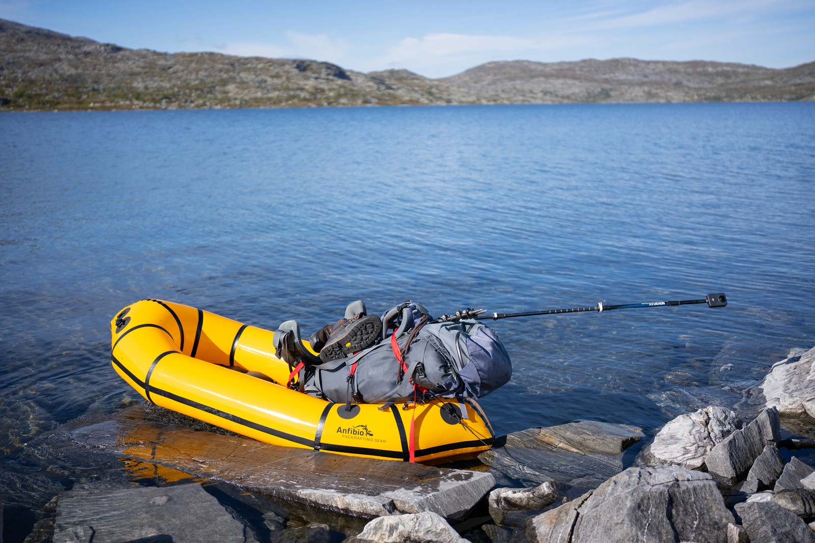
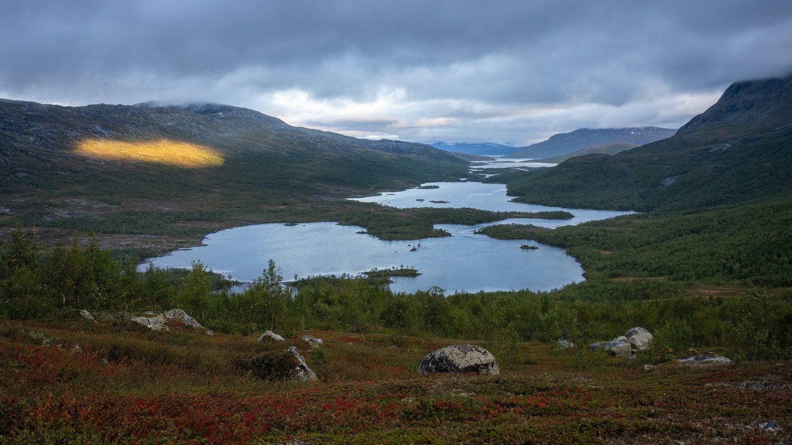
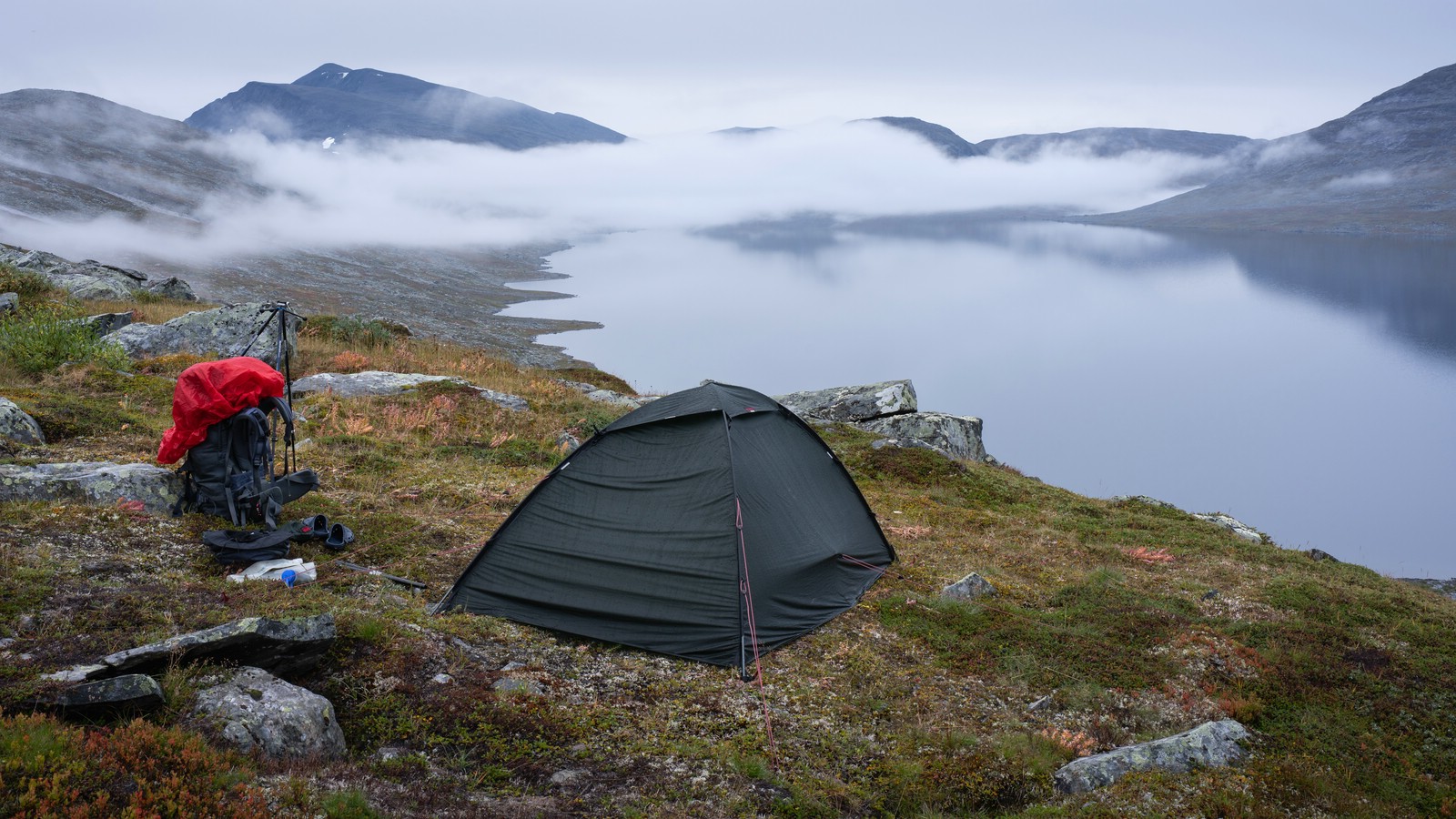
In the morning mist hid Máranjávrre which made for an interesting photo. When the sun came out I climbed to the pass, descended to Njárggálisjávrre and, because the terrain was hard and conditions ideal, launched the packraft to cross.
I paddled to the lake’s western end near a small private hut; a mapped trail nearby was impossible to find and appears to be gone. The route onward to Njuosejávrre proved strenuous. No efficient line presented itself. I made camp near Njuosejávrre’s northern shore as the wind picked up for the night.
Day 7
Packed in high wind and headed toward Miekak. Map trails were mostly faint or missing; occasional old markers vanished quickly. The descent to Alep Miehkak was manageable, but walking the section between the two bridges was unexpectedly brutal: no trail, lots of ascent/descent and backtracking; allow plenty of time.
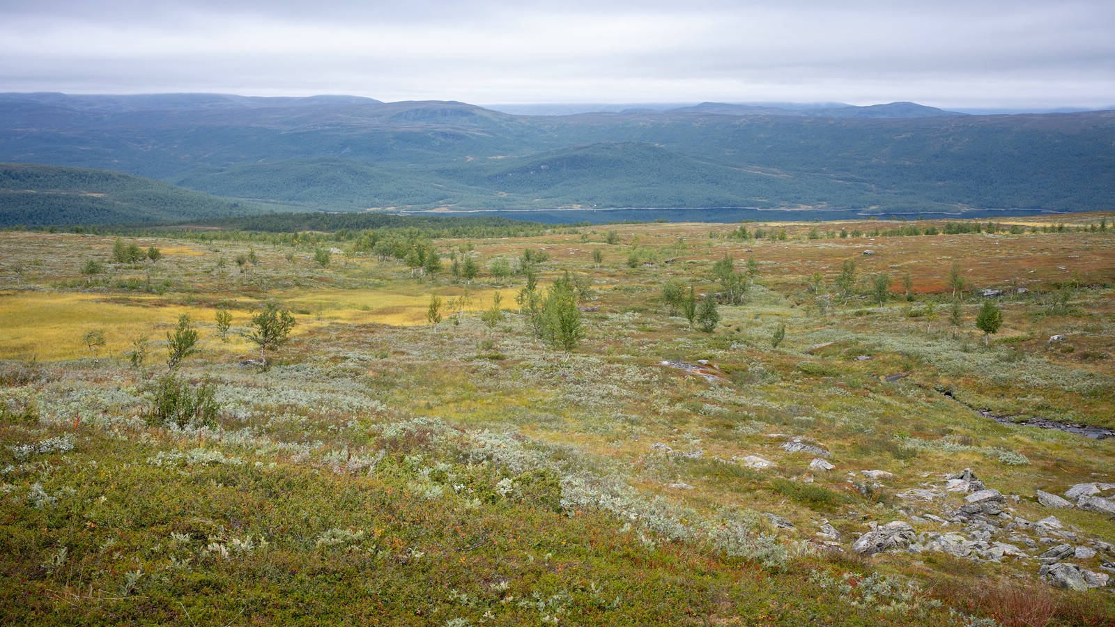
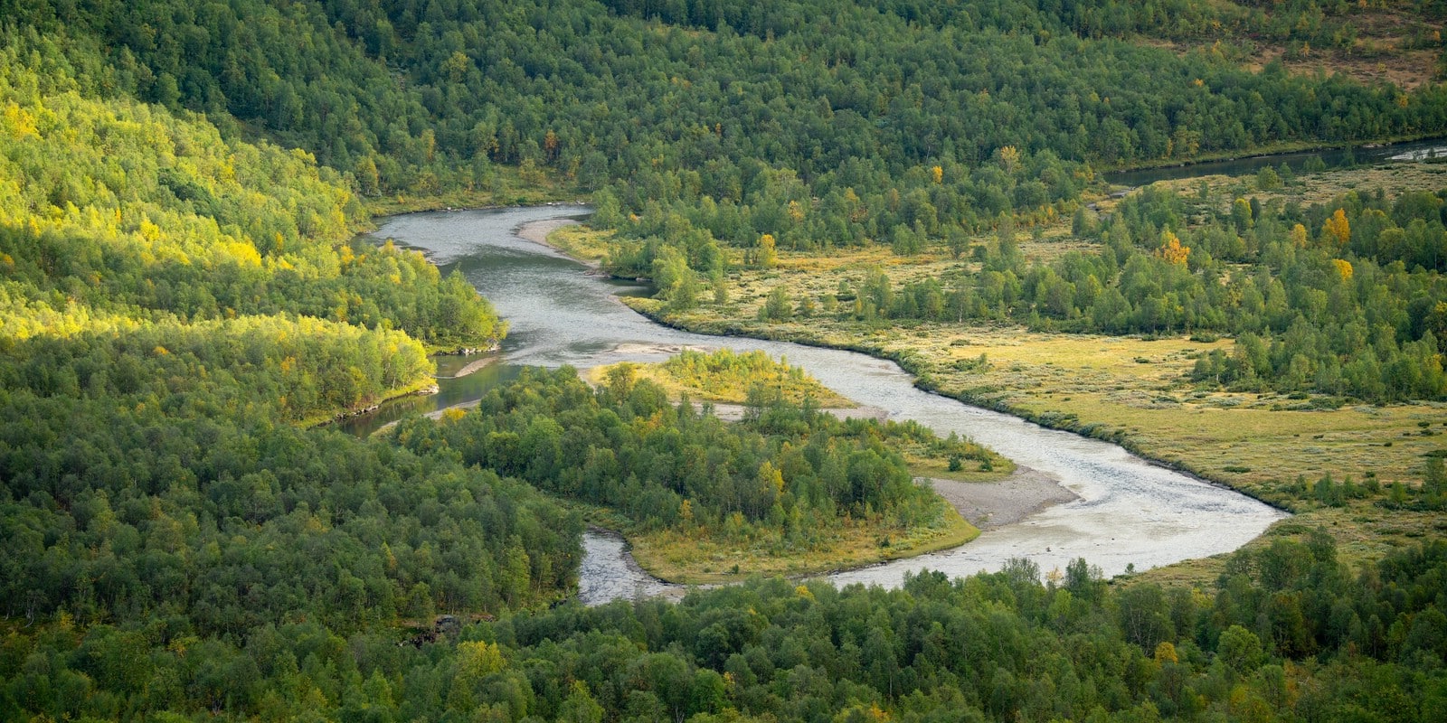
The Piteälven bridge sits at a dramatic waterfall and is worth lingering at. After the bridge a clear trail from the Miekak fishercamp led north for a few kilometres; I then angled east up toward Skärrebåtkåjávrre, reached treeline, and pitched my tent in a lee from the wind. The vista along the lake chain toward Pieskehaure is absolutely spectacular.
Day 8
Rainy day, stayed put and enjoyed the place.
Miekak – Sarddávágge – Vaimok – Såmmarlappa
Day 9
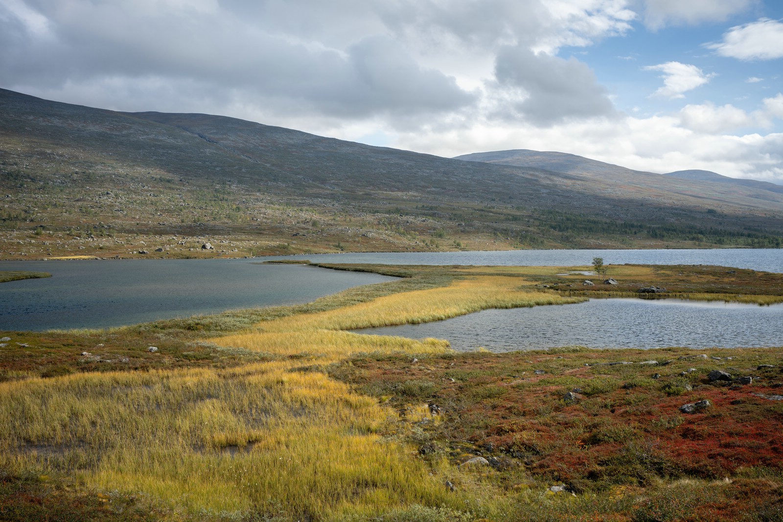
Packed, climbed up to the pass, then passed Skärrebåtkåjávrre to the north. In Sarddávágge I turned north toward Vaimok; a light drizzle persisted most of the day. Early afternoon I made camp north of Sarddájávrre. This was a short day.
Day 10
Followed the valley toward Vájmok and later crossed the river Sarddájåhkå. This let me pass the lake from the east. After some boulder‑hopping I reached the marked trail to the north of the lake and continued to Vaimokstugan. The hut was already closed for the season, so I climbed the hill north of the hut and camped with a beautiful view.
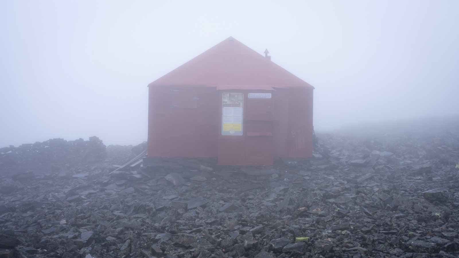
Day 11

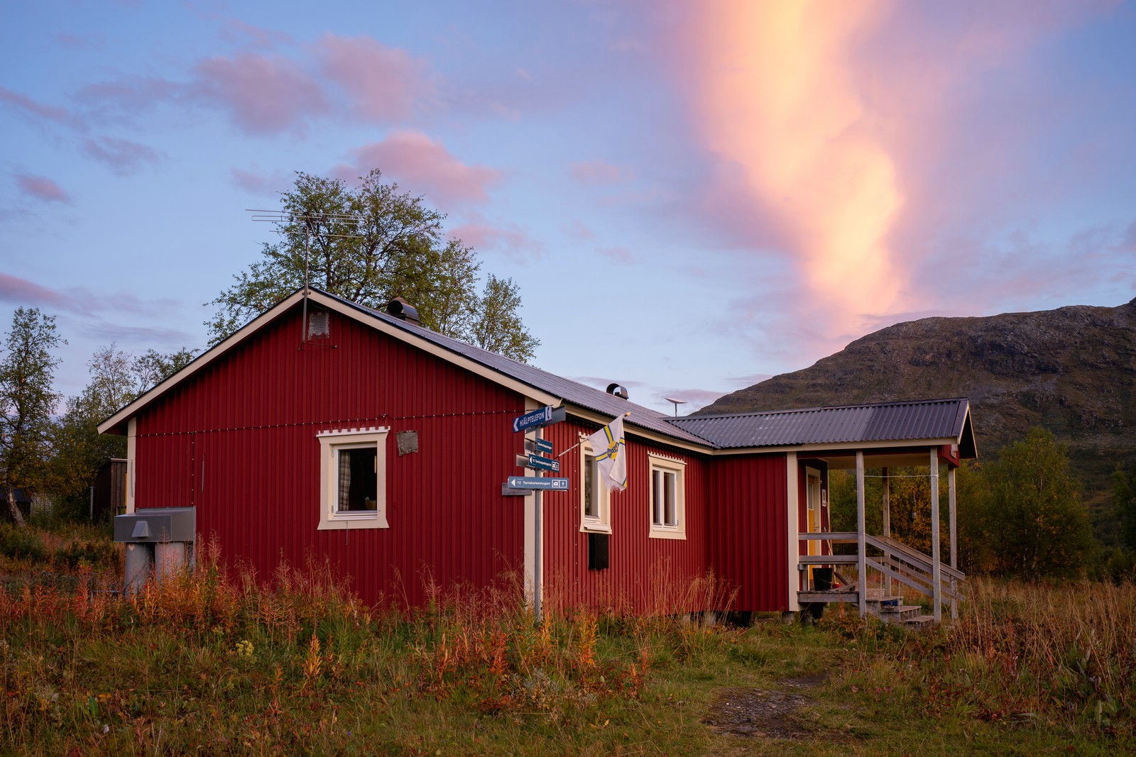
The approach to Fierrovágge involved some rocky ground; inside the valley the walking was for the most part on grassy terrain. After Vuolep Vuoksákjávrre I descended along Vuoksákjåhkå into Tarradalen. Near Såmmarlappa a small rope‑pulley boat can be used to cross Tarraätno. I treated myself to a “luxury night” and stayed in the hut, which was open for the season’s final night.
Såmmarlappa – Slihtavágge – Njoatsosvágge – Pårte
Day 12
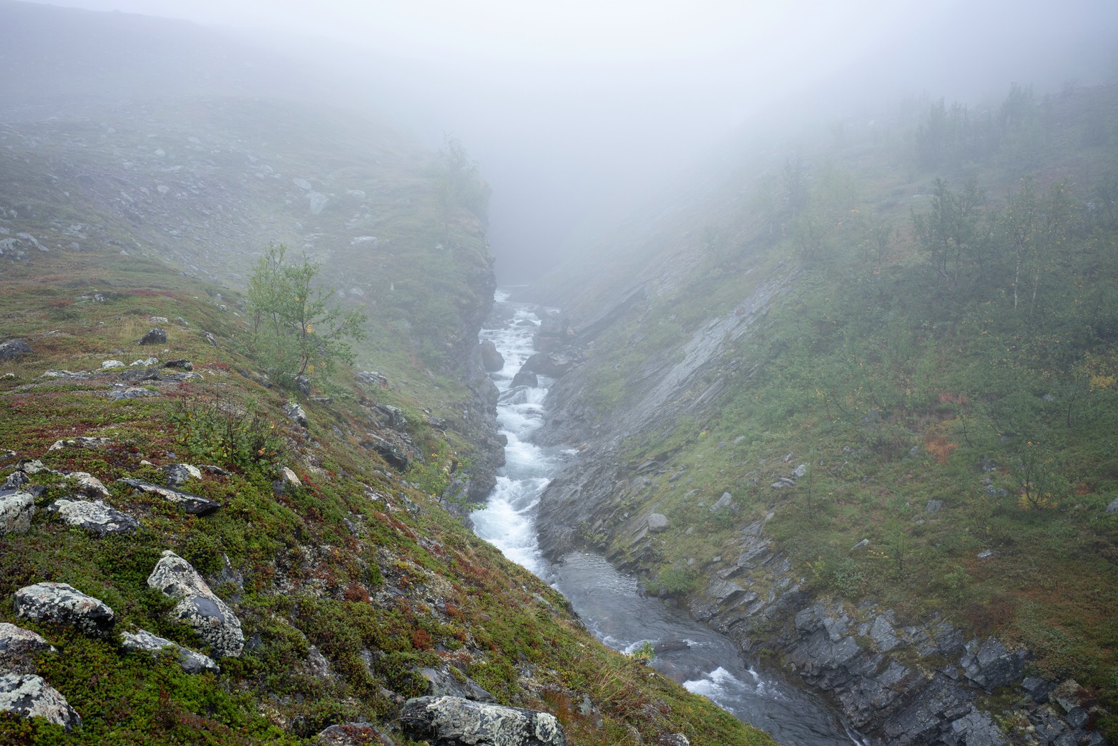
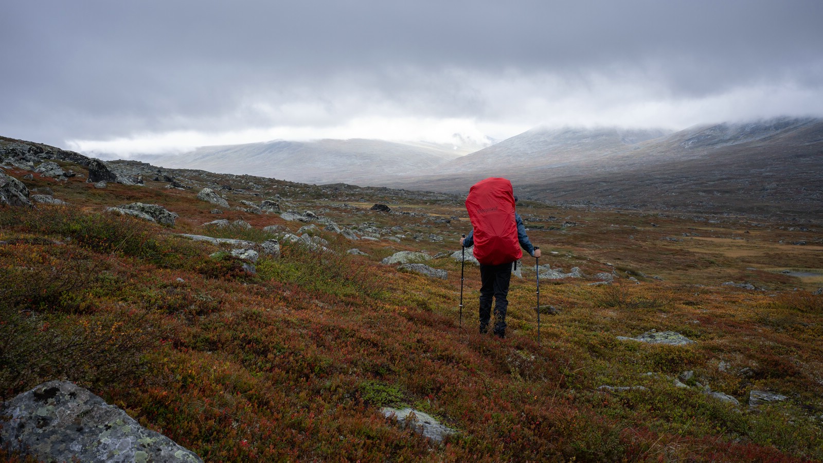
Worst weather of the trip: strong wind and steady rain, so few photos. From Såmmarlappa I followed Padjelantaleden a few kilometres, then climbed directly east into Slihtavágge. From there I dropped into Tjuoldavágge, crossed Buojdesjåhkå upstream to its confluence with Tjuoldajåhkå, and made a steep ascent west of the Tjuoldagårsså gorge.
I had poor visibility but intriguing glimpses into the chasm. Reaching a small lake in Låptåvágge I crossed the stream and pitched the tent soaked and grateful for shelter. (This was the same exact campsite I used eleven years earlier.)
Day 13

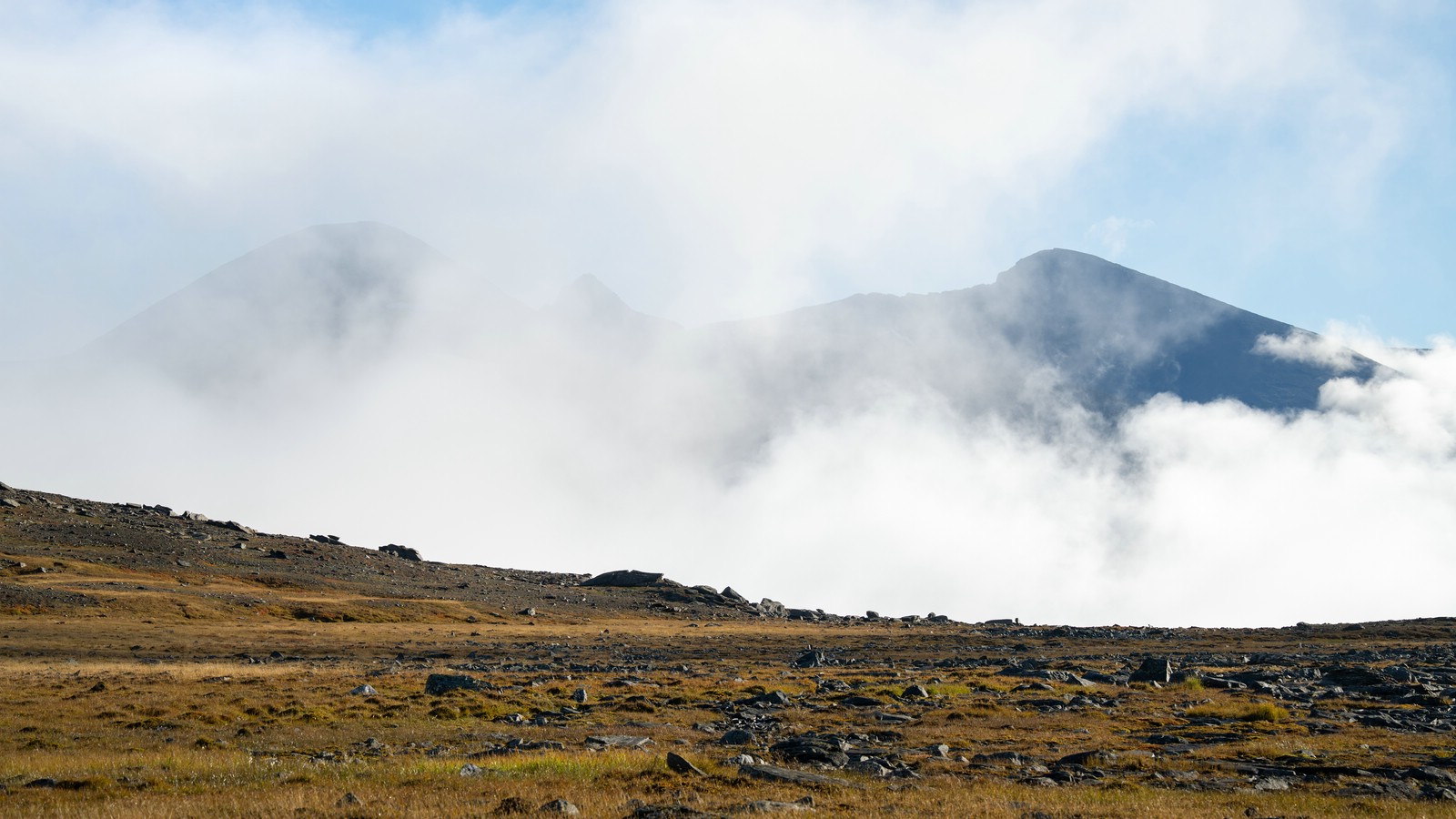
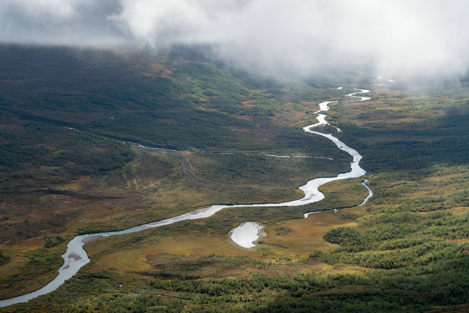
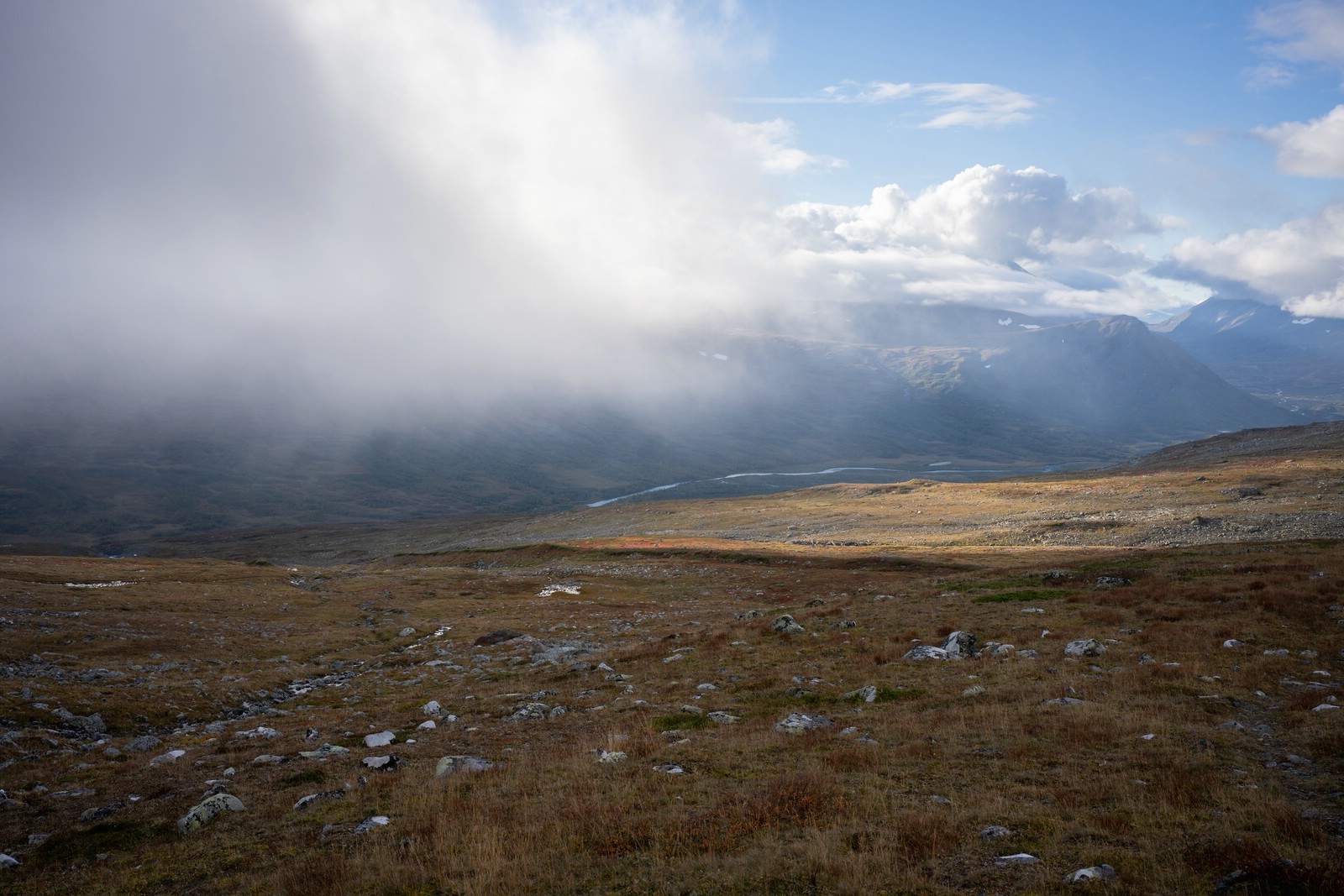
Woke to better weather; clouds and patches of sun created dramatic, misty scenes. Headed northeast into Njoatsosvágge, walking along the boundary of Sarek National Park. Before the steep descent I climbed Goabrekbákte. After an hour of fog I was about to give up. But suddenly the clouds cleared and revealed magnificent valley views.
I descended toward Njoatsosjåhkå and, rather than attempt a uncertain ford, used my packraft to paddle a few hundred metres downstream to a gravel bank — later realizing boats are prohibited on all park waters. I’d mistakenly thought the restriction applied only to lower Ráhpaädno. Some searching would have made the river crossing surely possible.
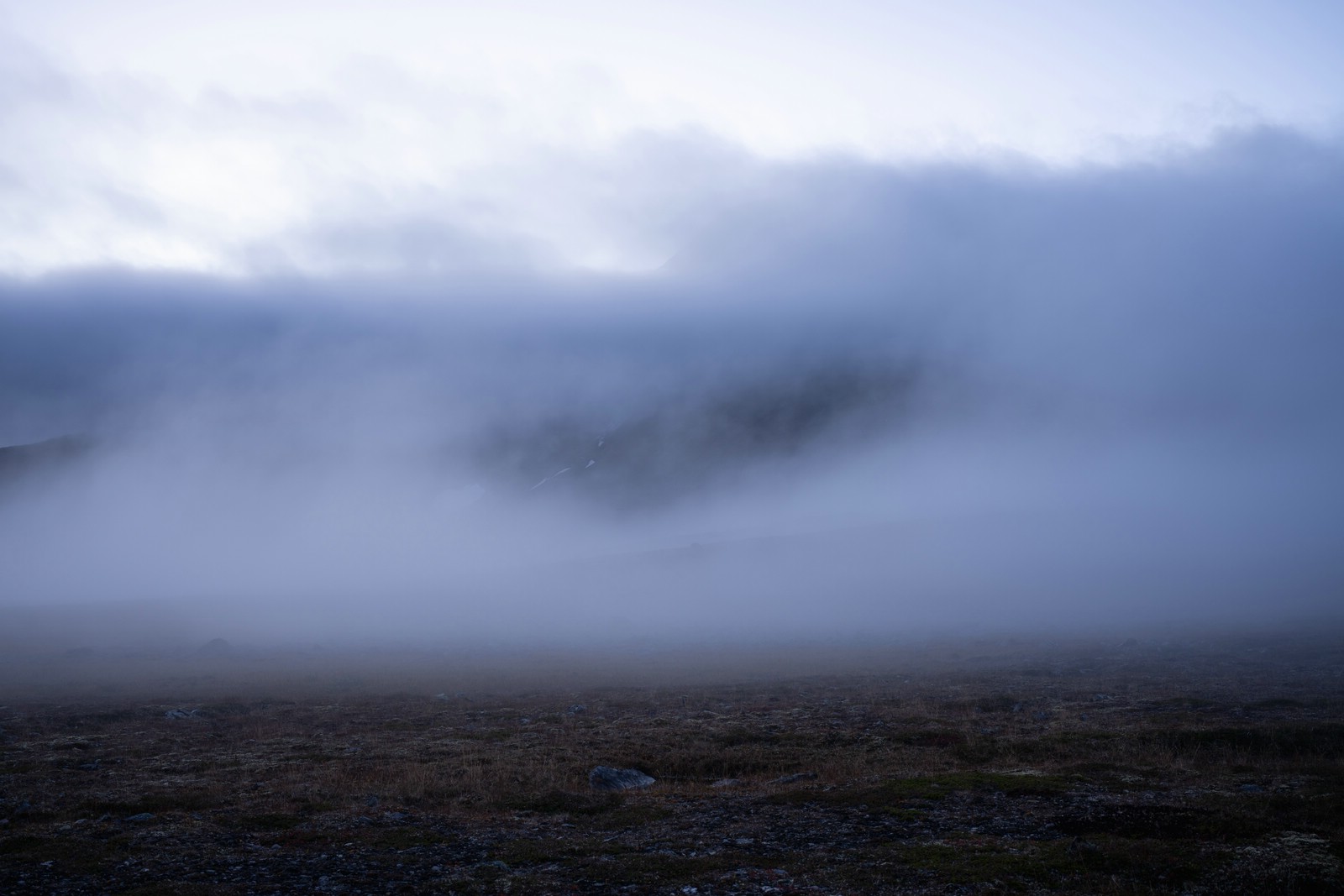
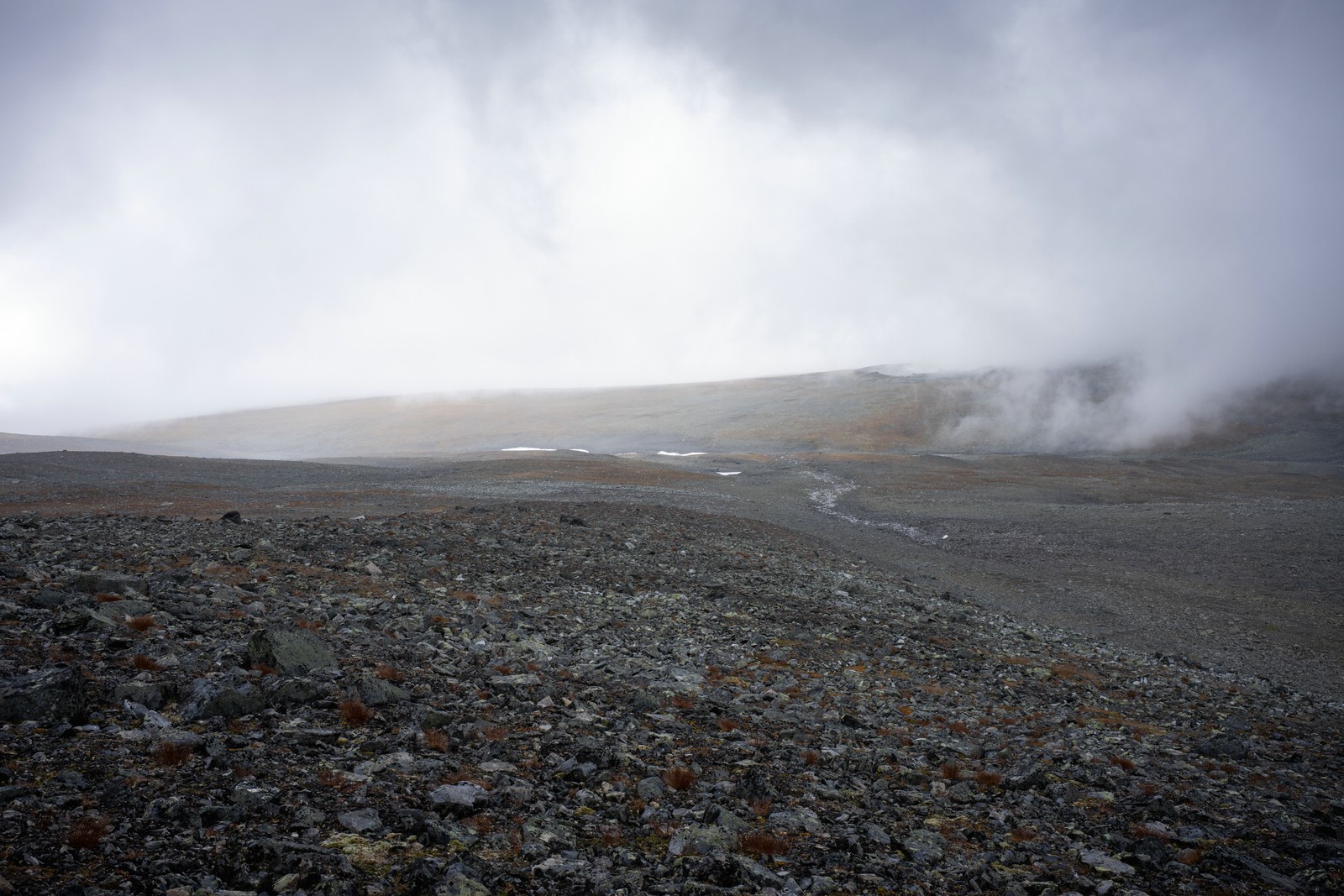
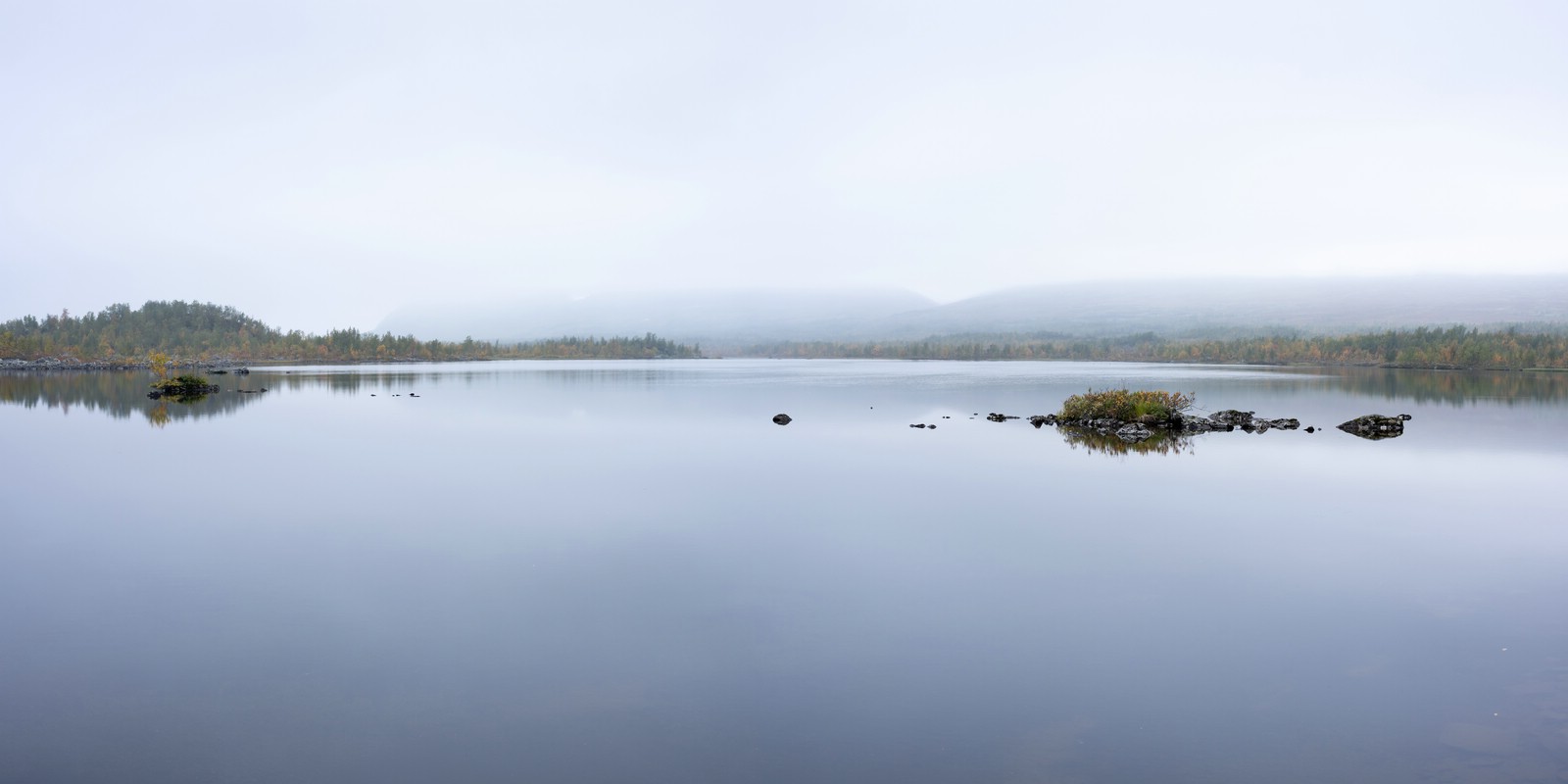
After climbing from the river, I crossed Ruopsokjåhkå near a reindeer herder’s hut, picked up the mapped (and winter‑marked) trail uphill to the southeast. At some point, fog envoloped me and I crossed a snowfield near Sähkok. I descended to the basin east of Tjievrajávrre where I camped beside a small lake.
Summit disappointment and back to Kvikkjokk
Day 14
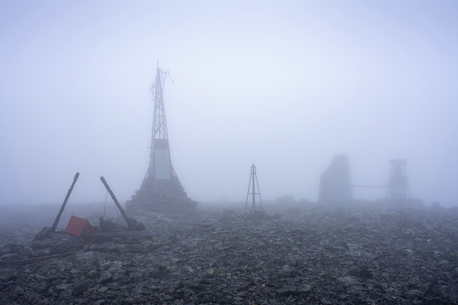

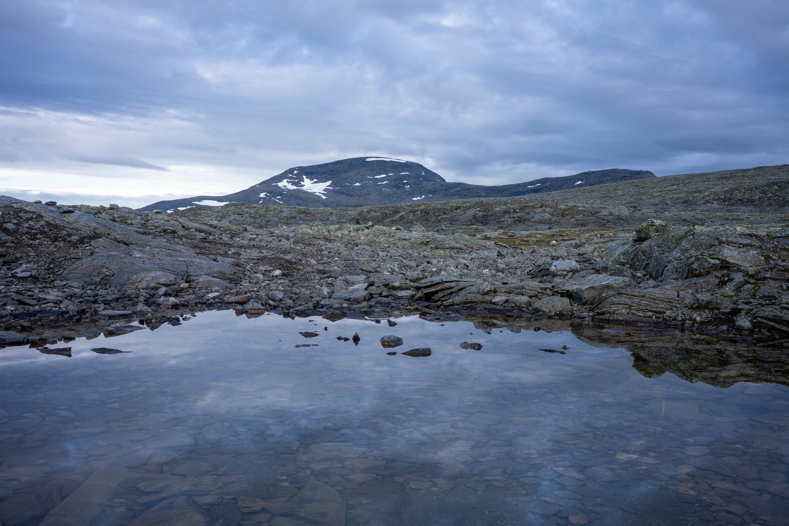
Planned the climb to Bårddetjåhkkå (visited 12 years earlier). The weather looked uncertain, the peaks shrouded in cloud. Nonetheless I started the ascent with a light pack across broken stone and boulder fields. I reached Axel Hamberg’s observatory (1838 m, built 1911); the ruins of the research station are striking.
Visibility was nil: near‑storm winds, steady drizzle and dense fog. After waiting about an hour with no clearing, I turned back without attempting the final summit push.
Day 15
Woke to clear skies and photographed the sunrise. Today the summits lay cloud‑free. Time constraints forced me to continue toward Kvikkjokk.
I crossed the northern arm of Sähkokjåhkkå (no reliable snow bridge remained) and picked up the trail toward Pårek/Boarek. Clouds began to roll in again. Near Boarekjávrre there’s a short crossing by arranged stepping‑stones; water over the stones can be deep, so removing footwear may be the dryer option.
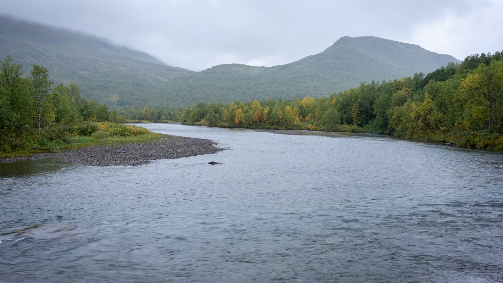
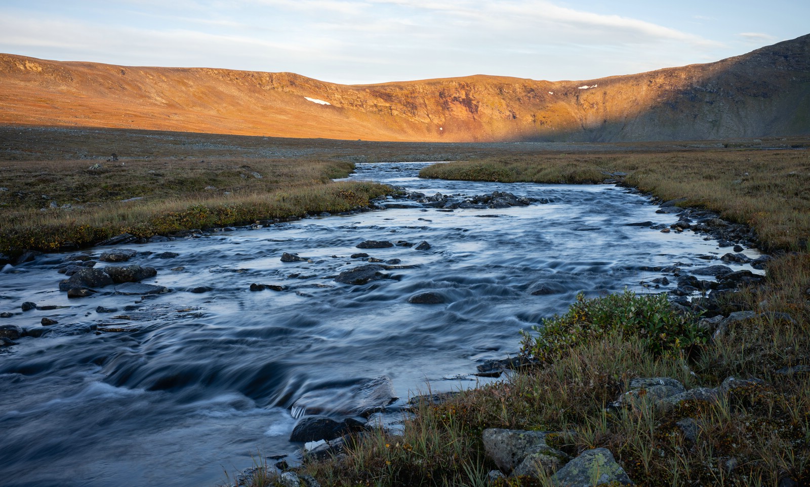
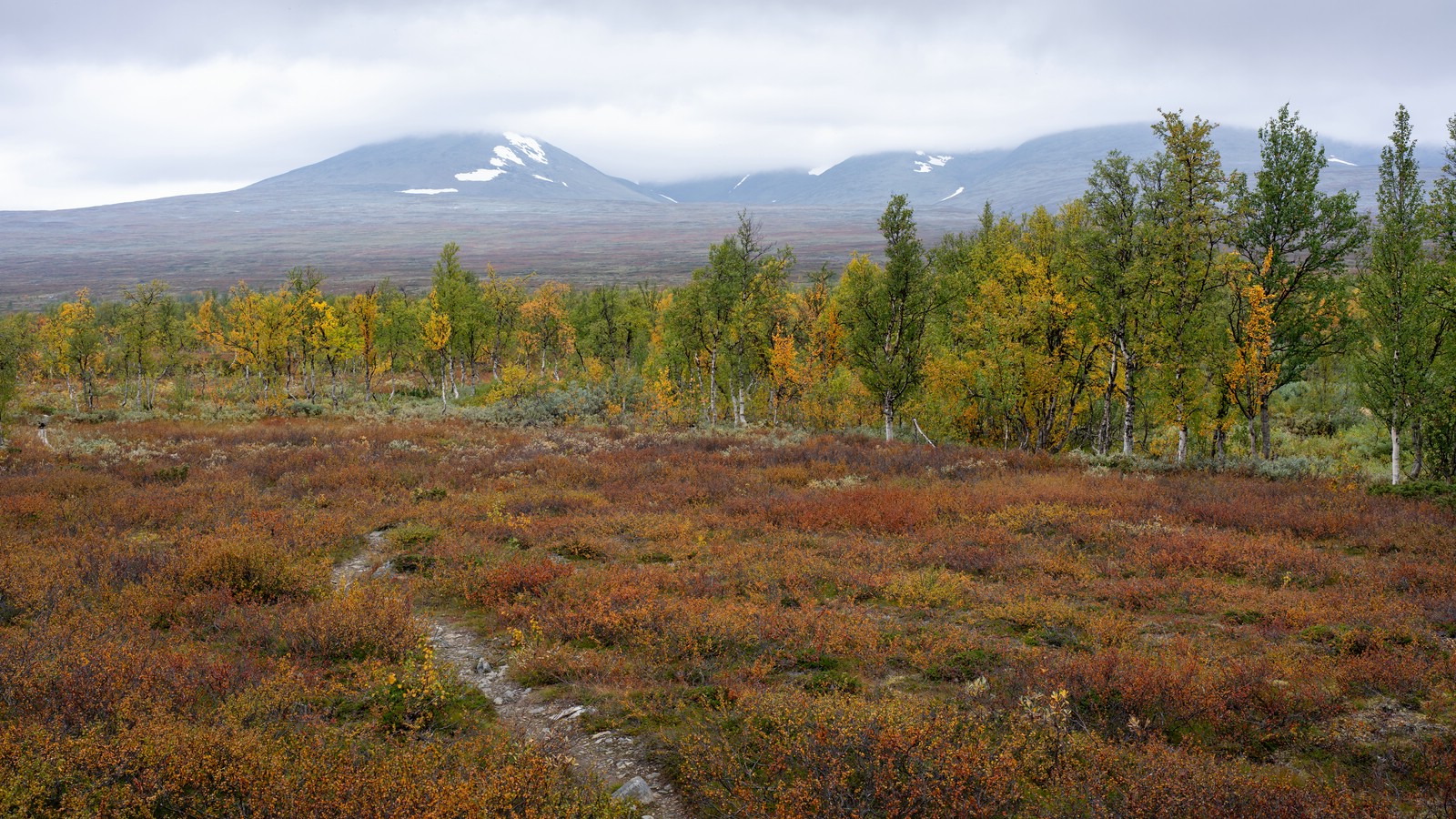
I followed moorland and light forest to Stuor Dáhtá, a beautiful place with many campsites, and stayed there overnight.
Day 16
Final short leg to Kvikkjokk, mostly on Kungsleden. The path descends through forested terrain. I didn’t encounter many hikers and thus it was a calm, satisfying end to the route.
Video Documentation of this Trip
