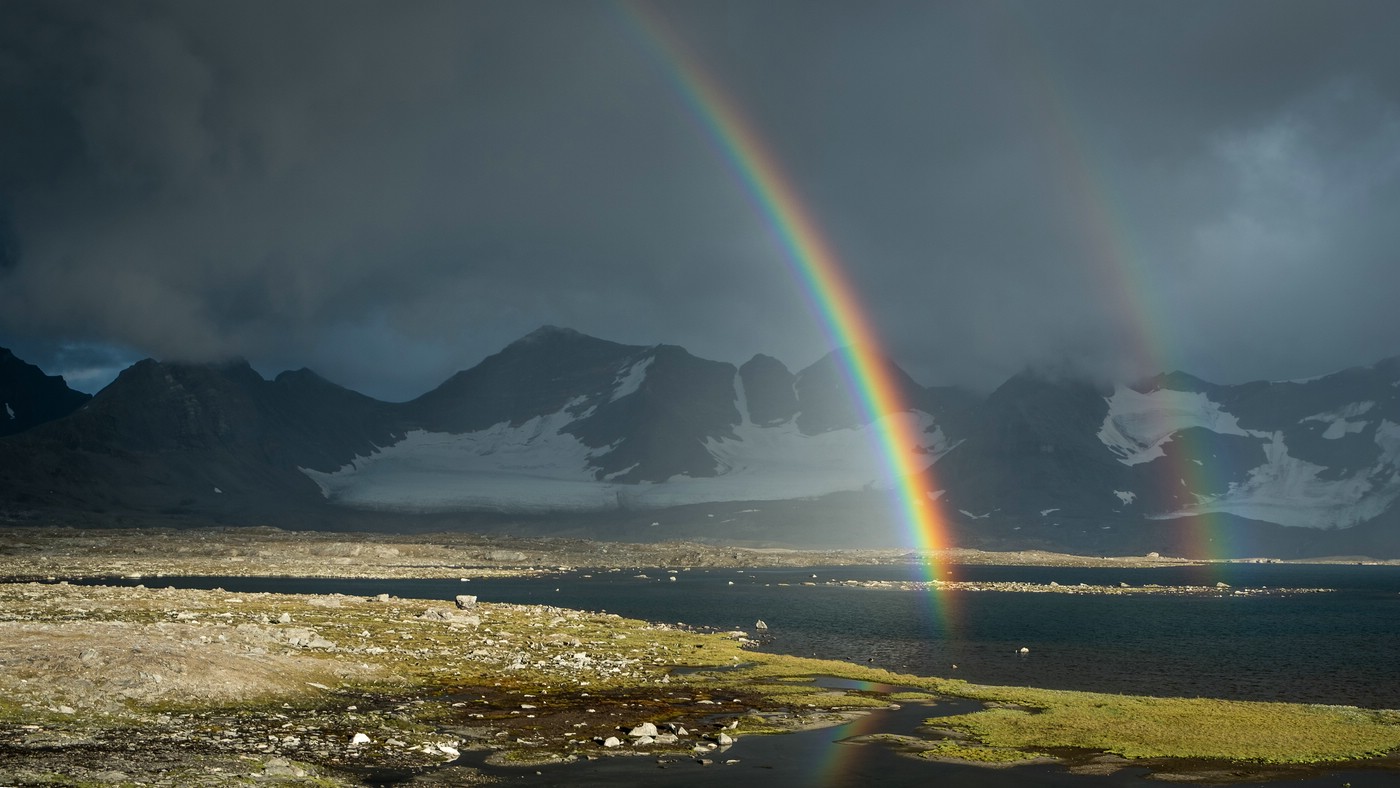
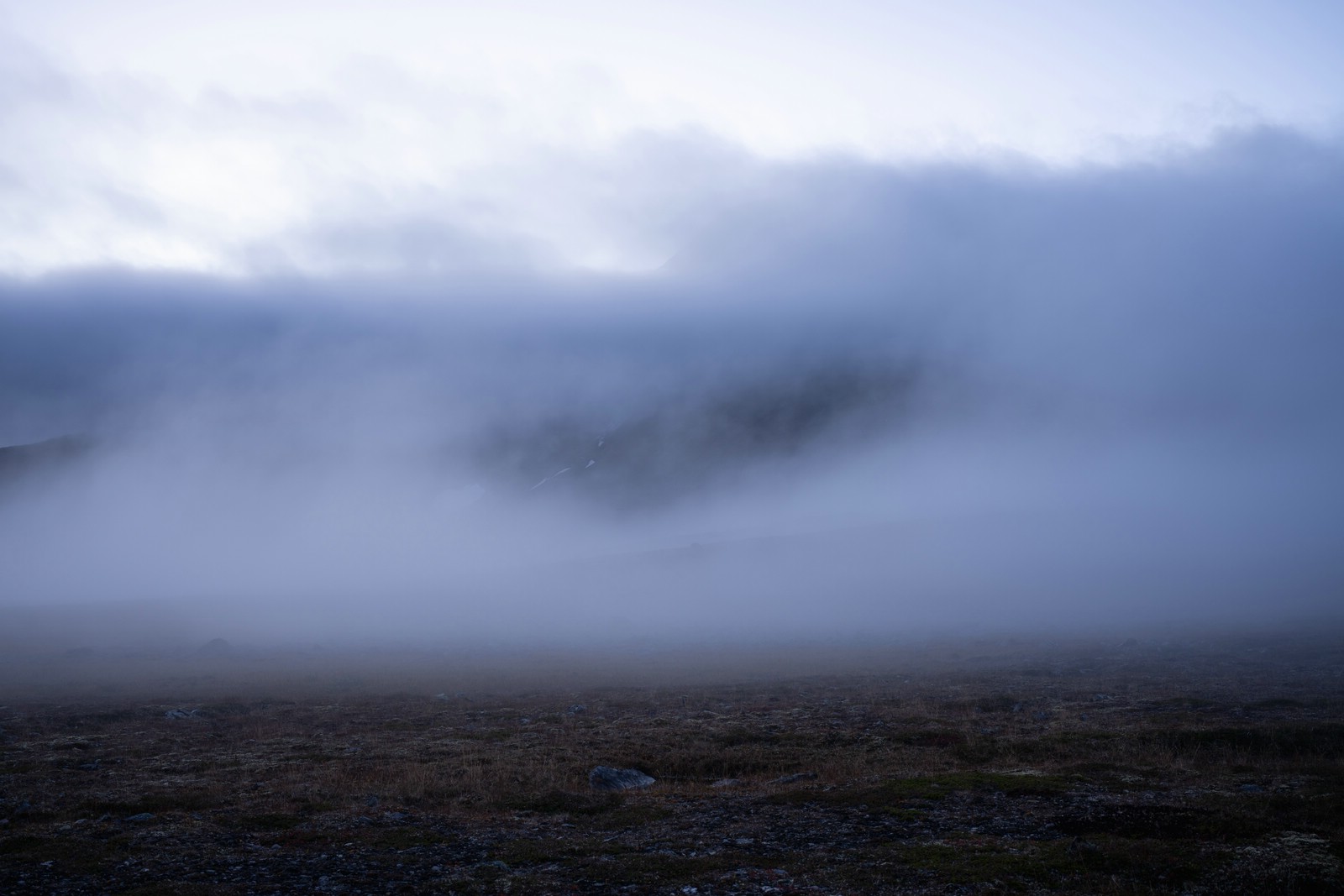
This gallery is dedicated to images from the Sarek national park in Swedish Lapland. The area is very mountainous, almost untouched by civilization and part of the UNESCO world heritage site Laponia. Sarek is only accessible on foot and has no marked trails, accommodations or other man-made infrastructure (except for a single emergency phone and two bridges). This means you have to carry a large amount of supplies in addition to tent and other gear. So far, I have spent more than nine weeks in this beautiful place in five separate trips.
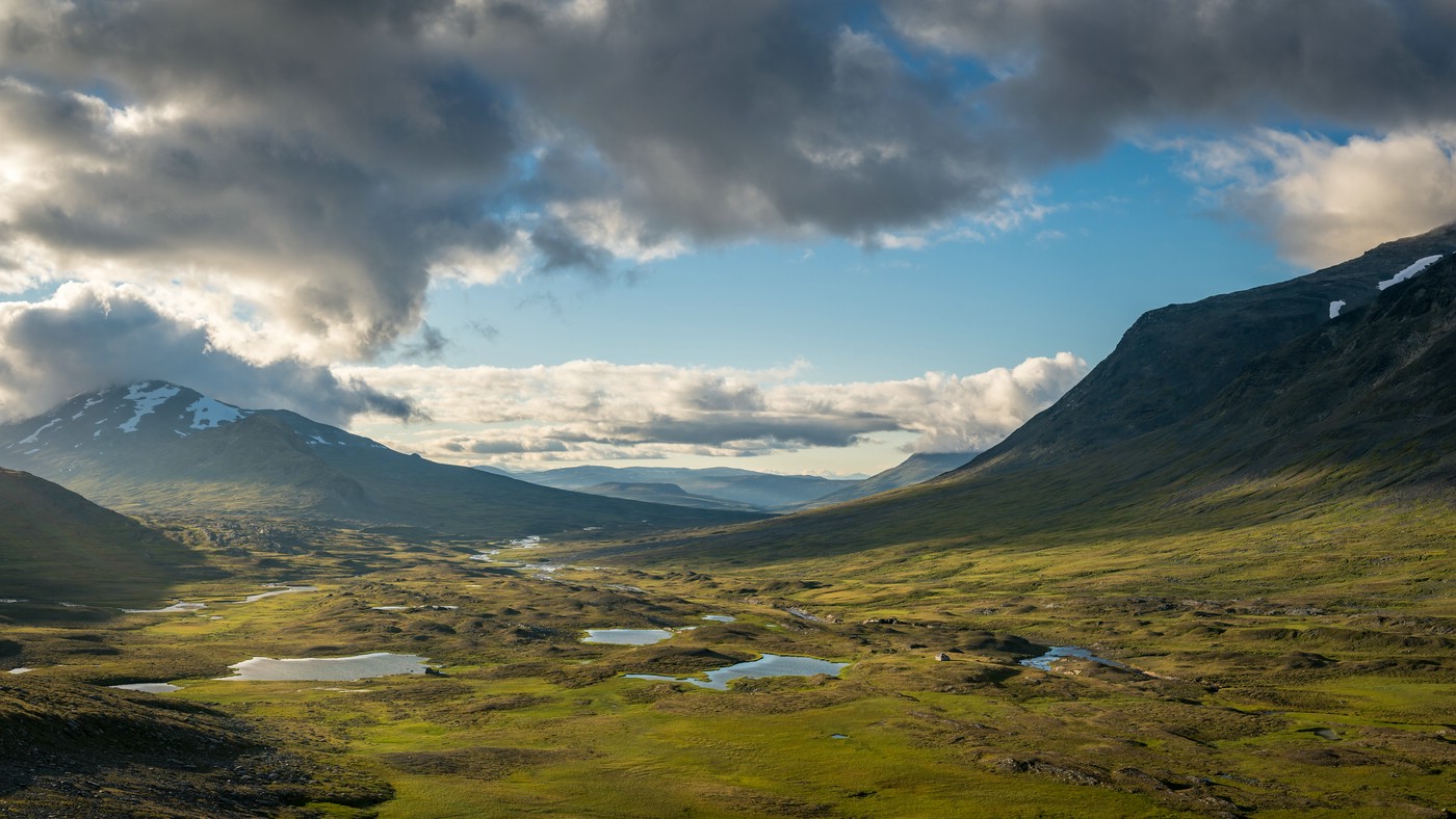
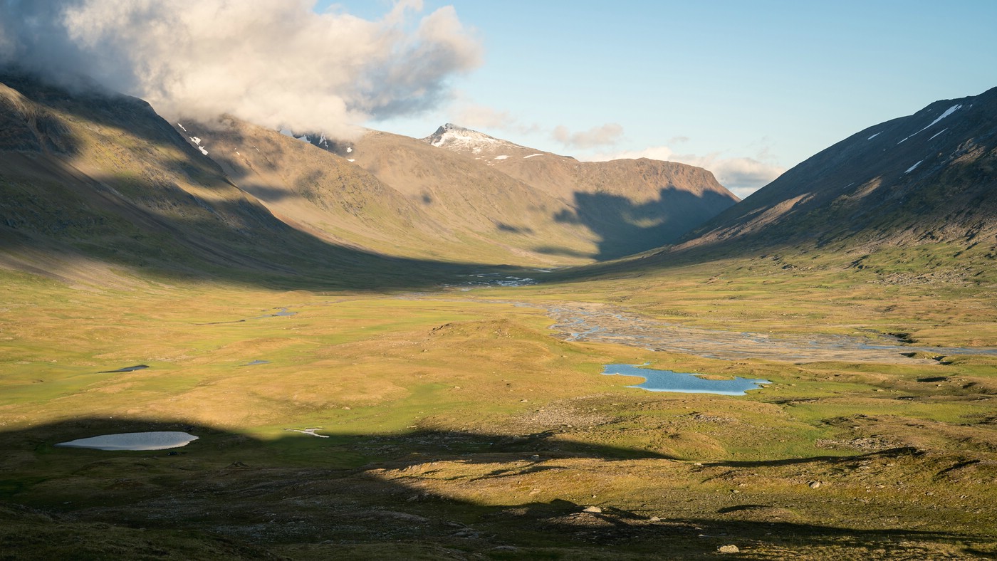
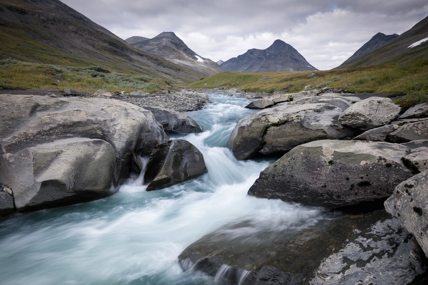
Ruohtesvágge and Álgavágge
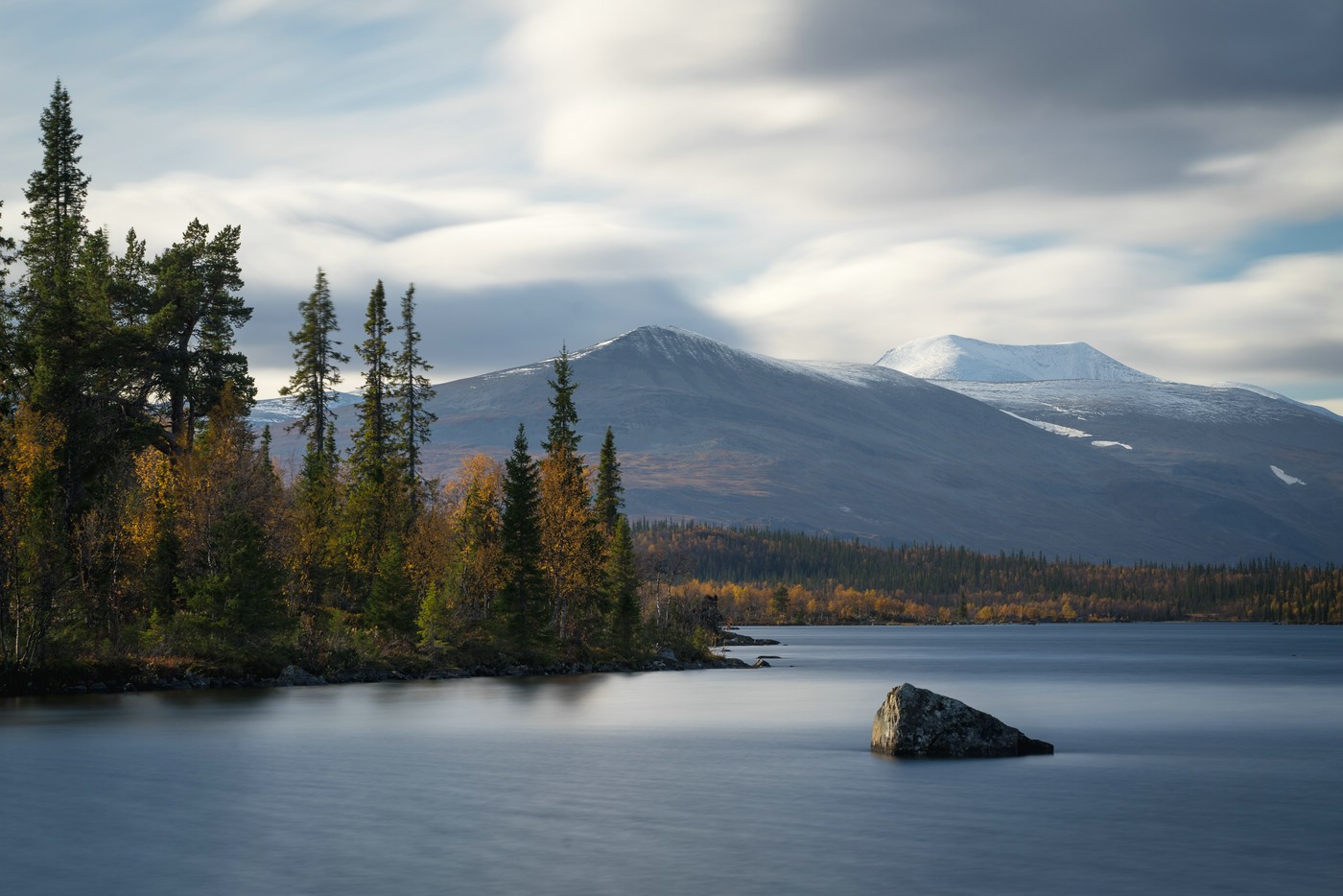
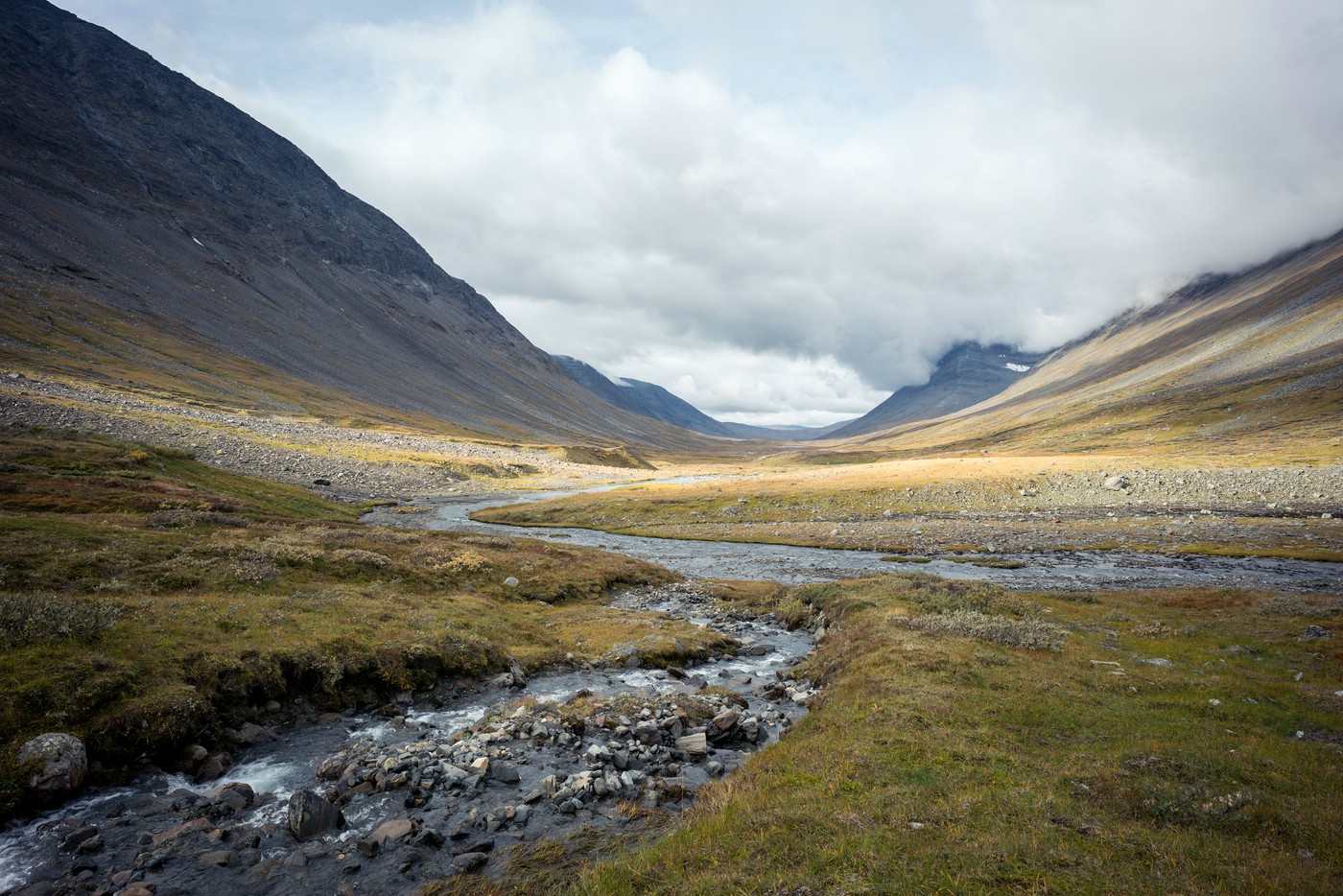
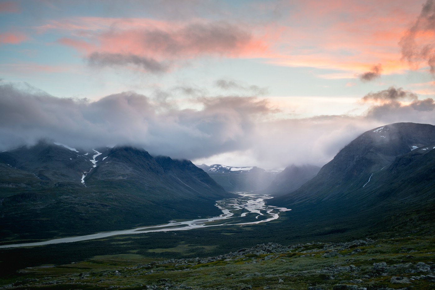
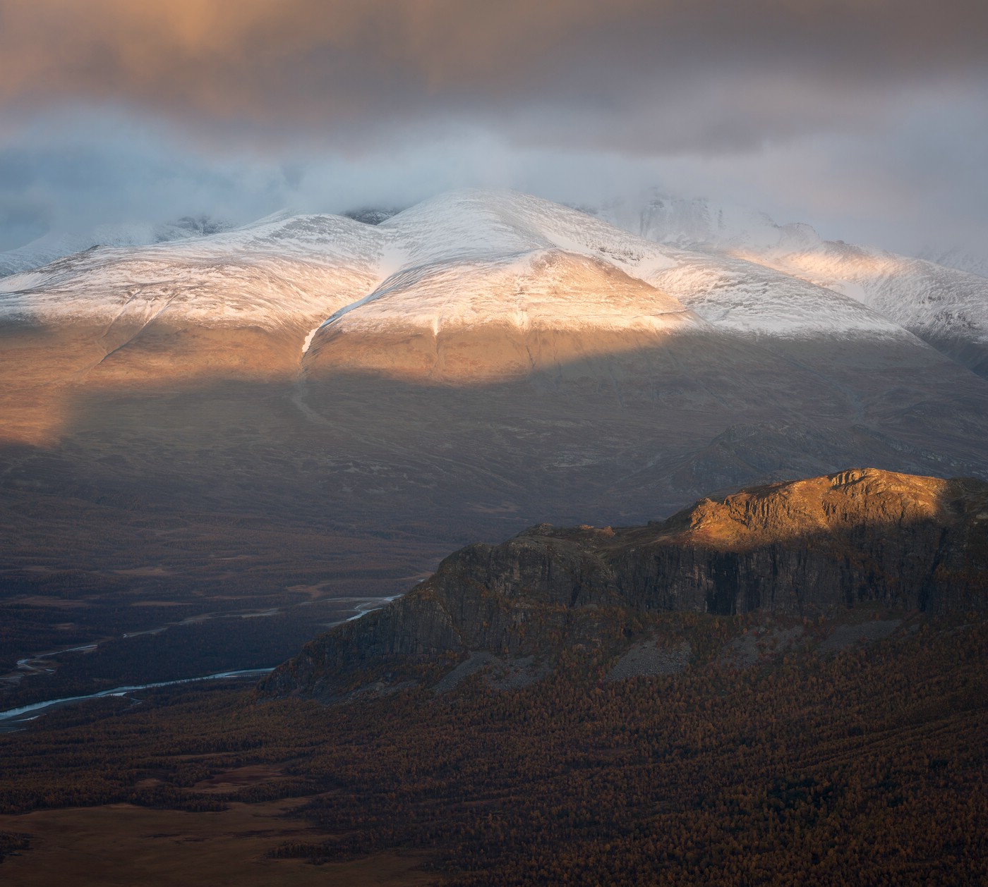
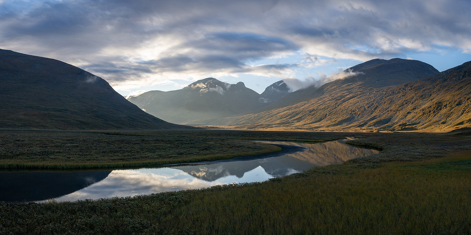
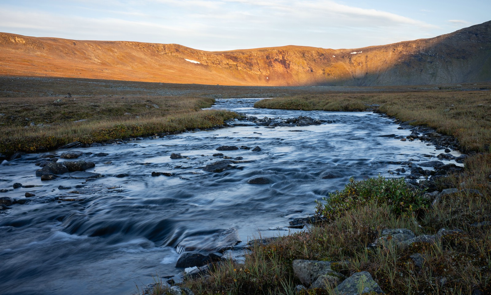
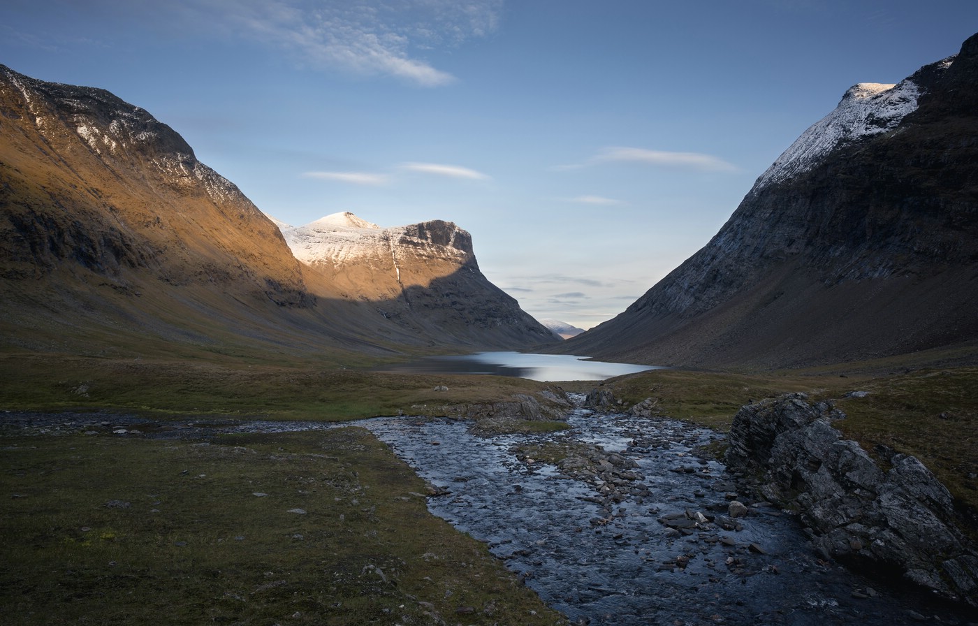
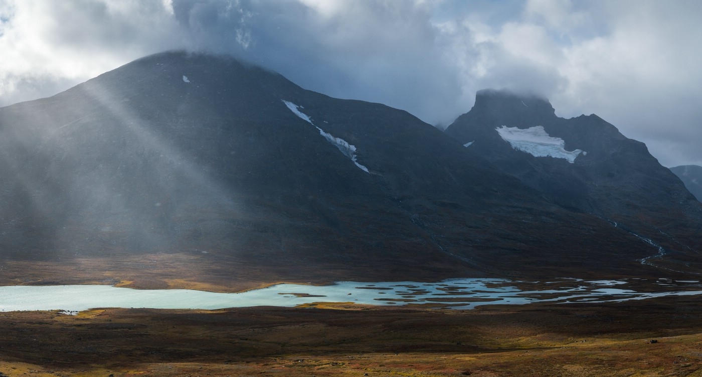
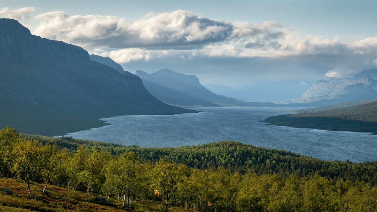
Ruohtesvágge is a mostly grassy valley in north-western Sarek leading to Skárjá, the so-called “center” of Sarek. The valley is adjacent to the Sarek mountain range (Sarektjåhkkå) that gave the national park its name. At Skárjá three of the main valleys of Sarek meet. One of those valleys is Álgavágge that one can follow to the west. Another is Rapadalen. More images of Rapadalen an be found below.
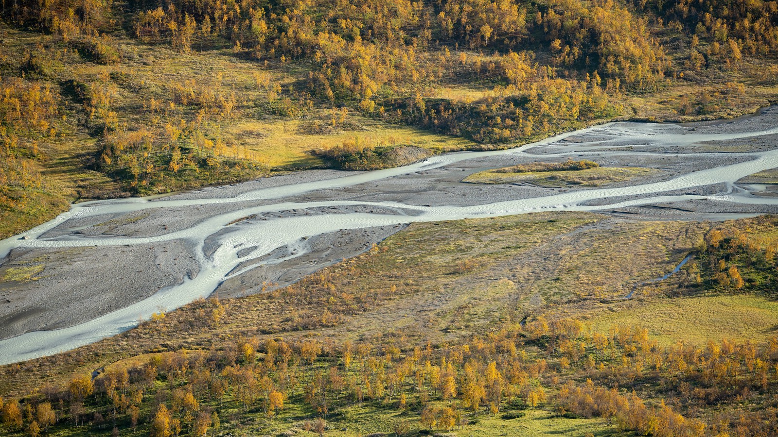
Rapadalen
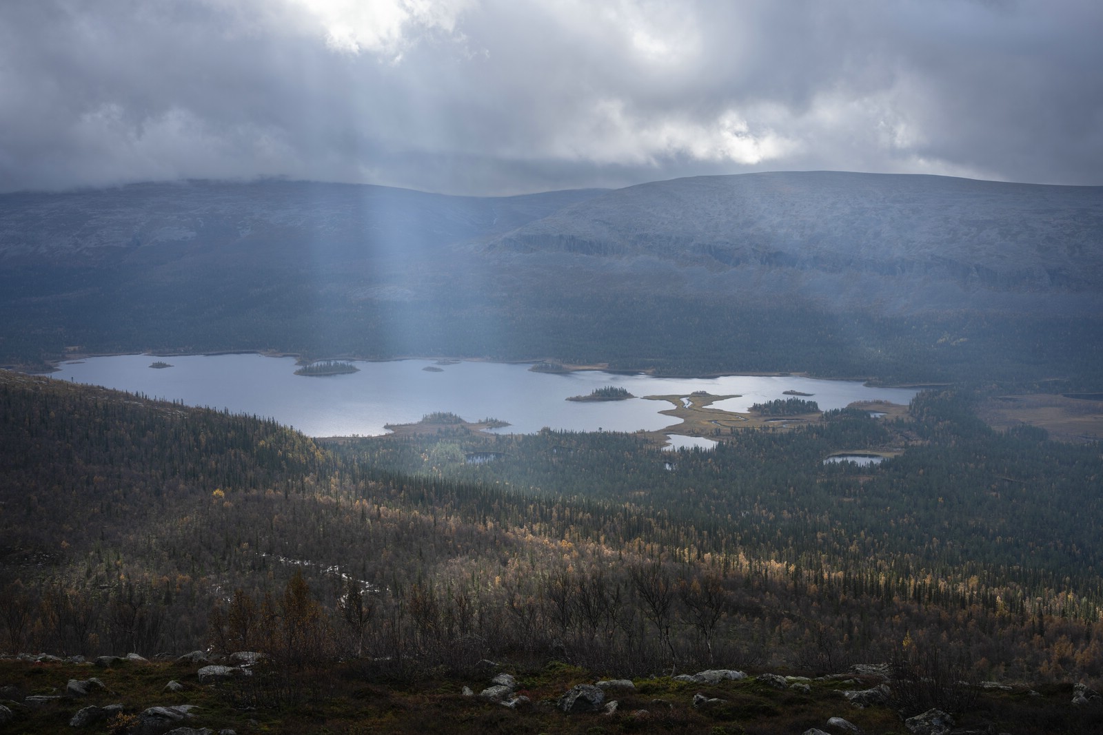
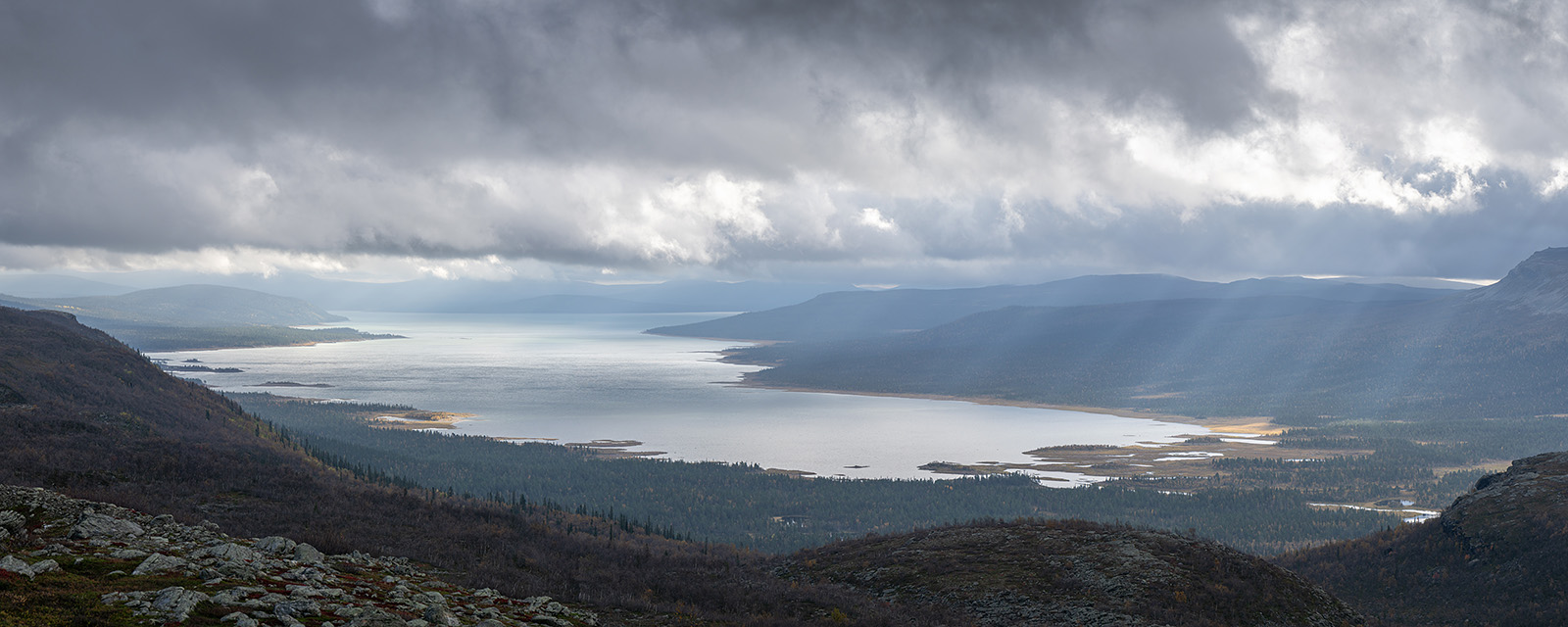
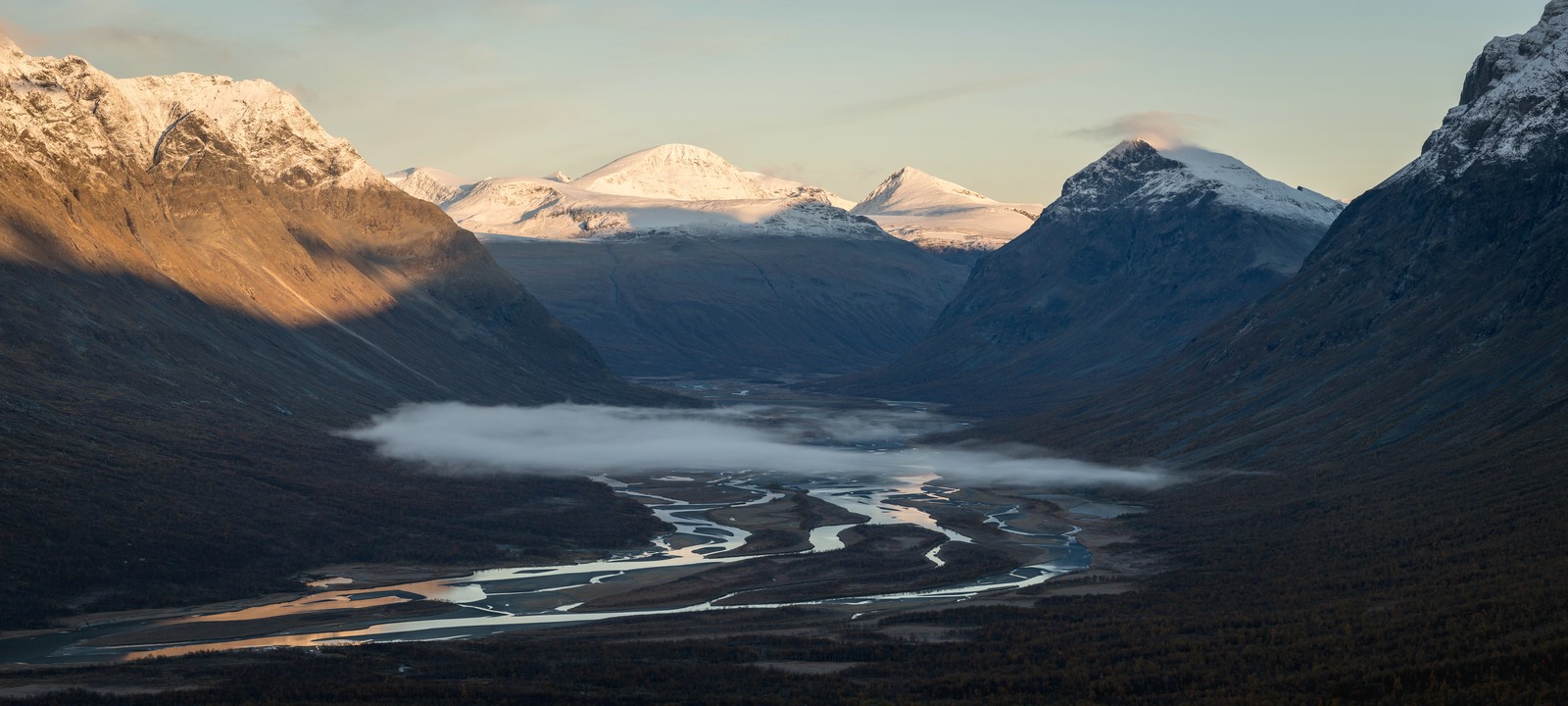
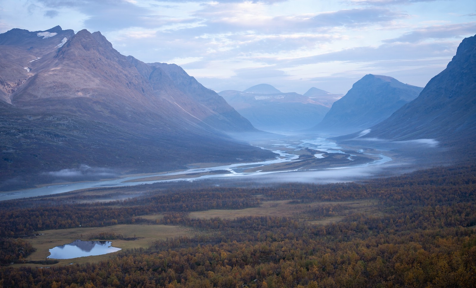
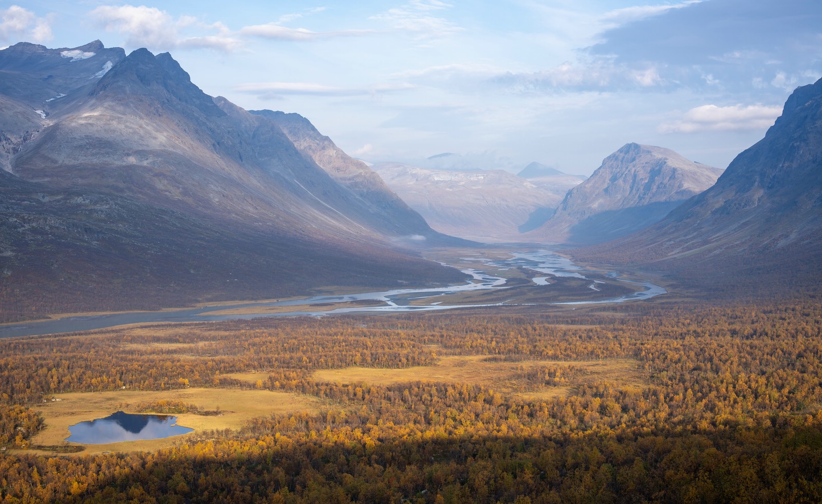
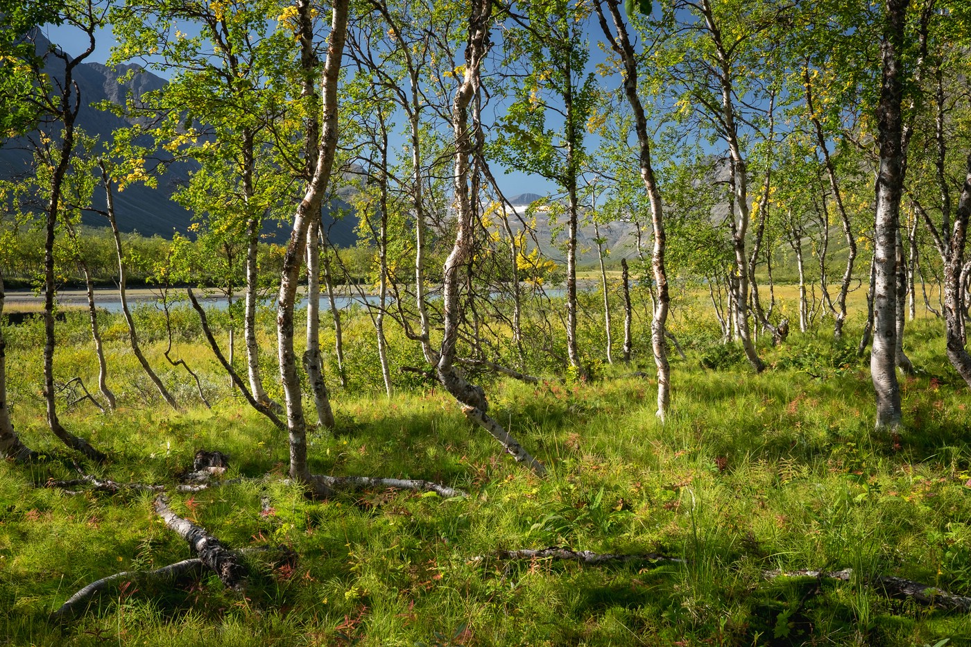
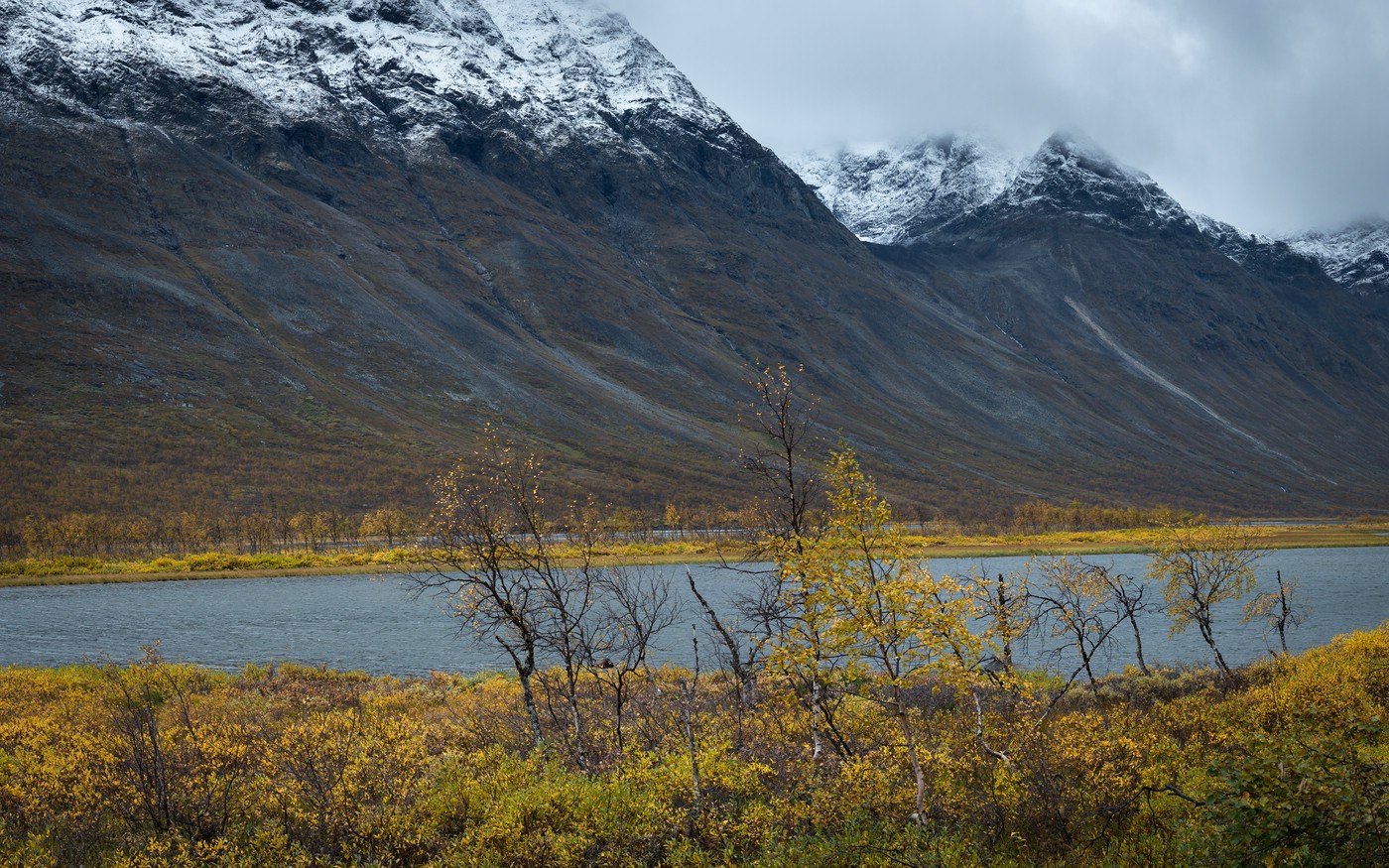
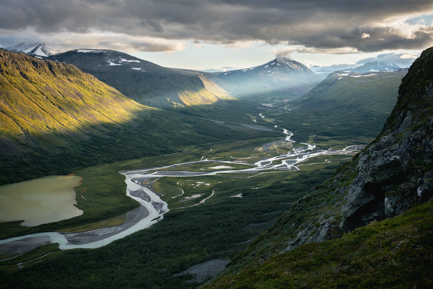
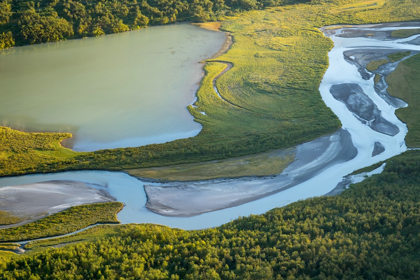
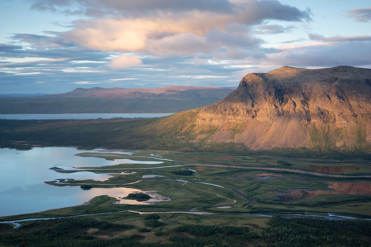
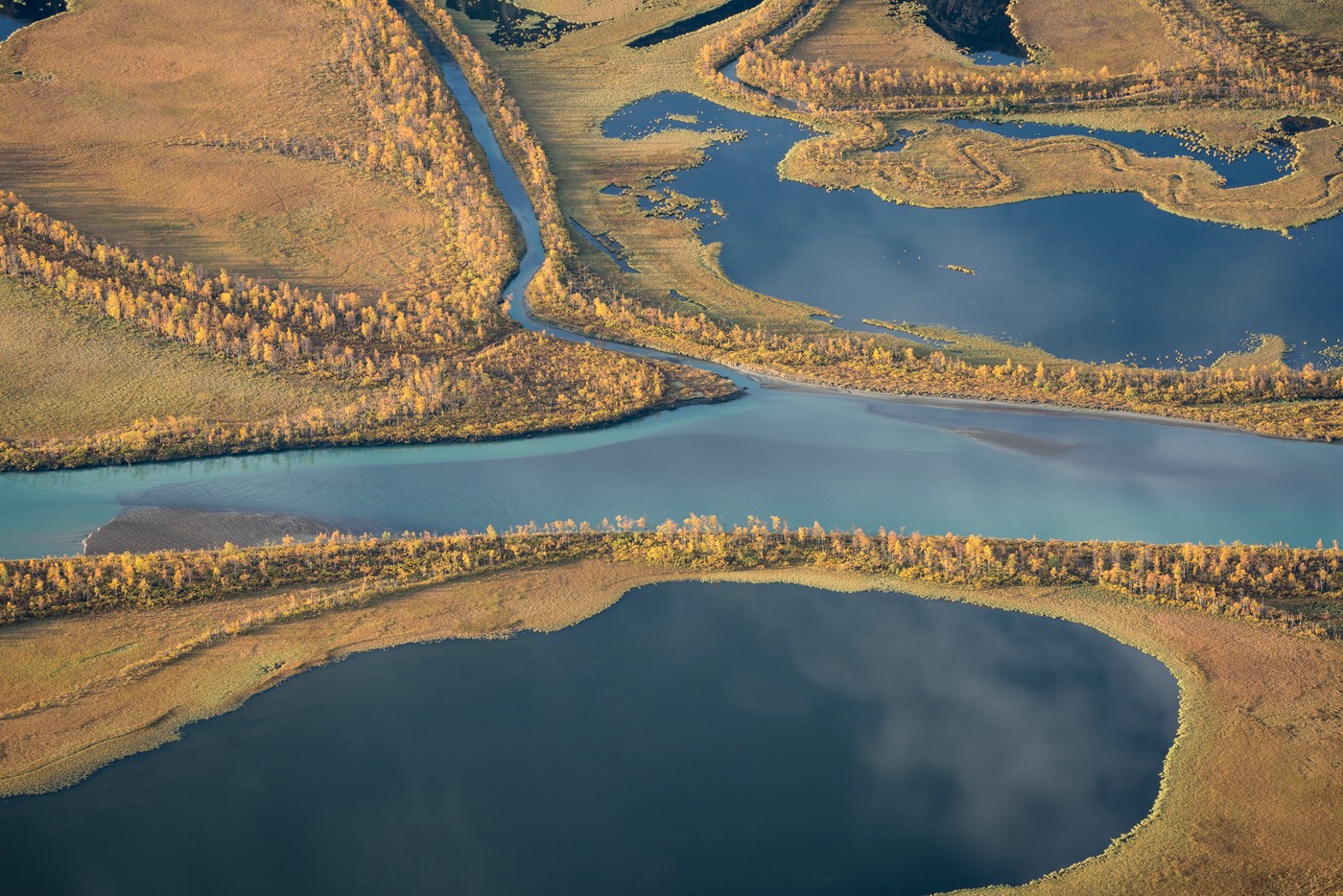
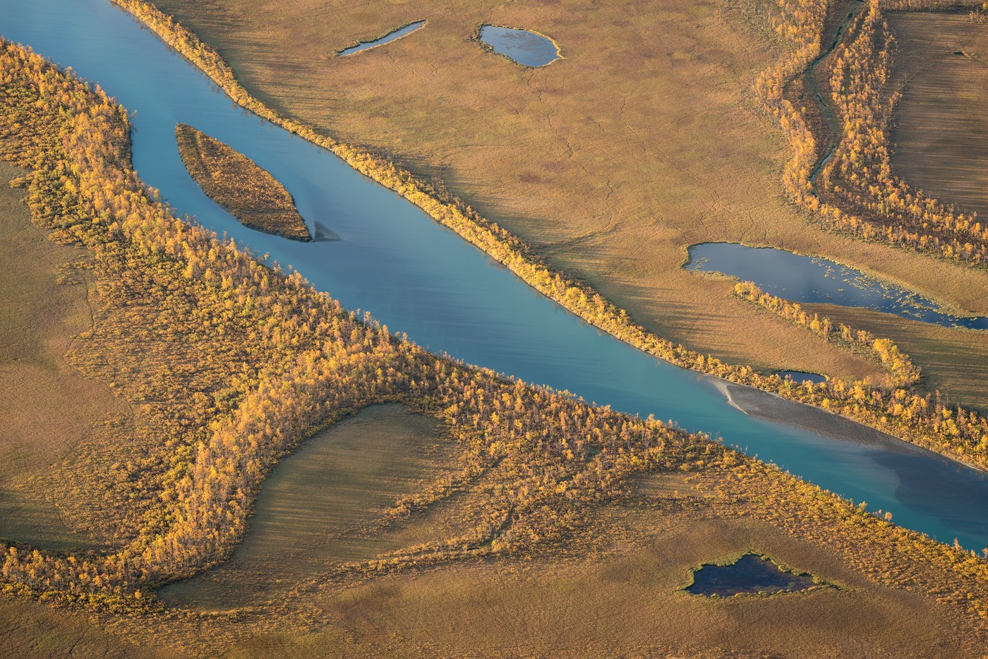
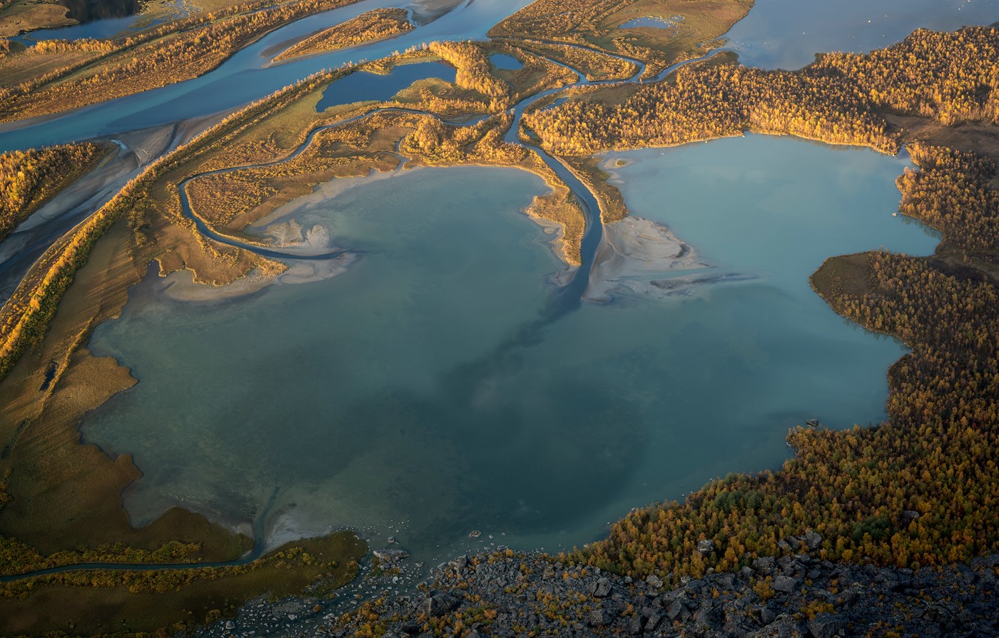
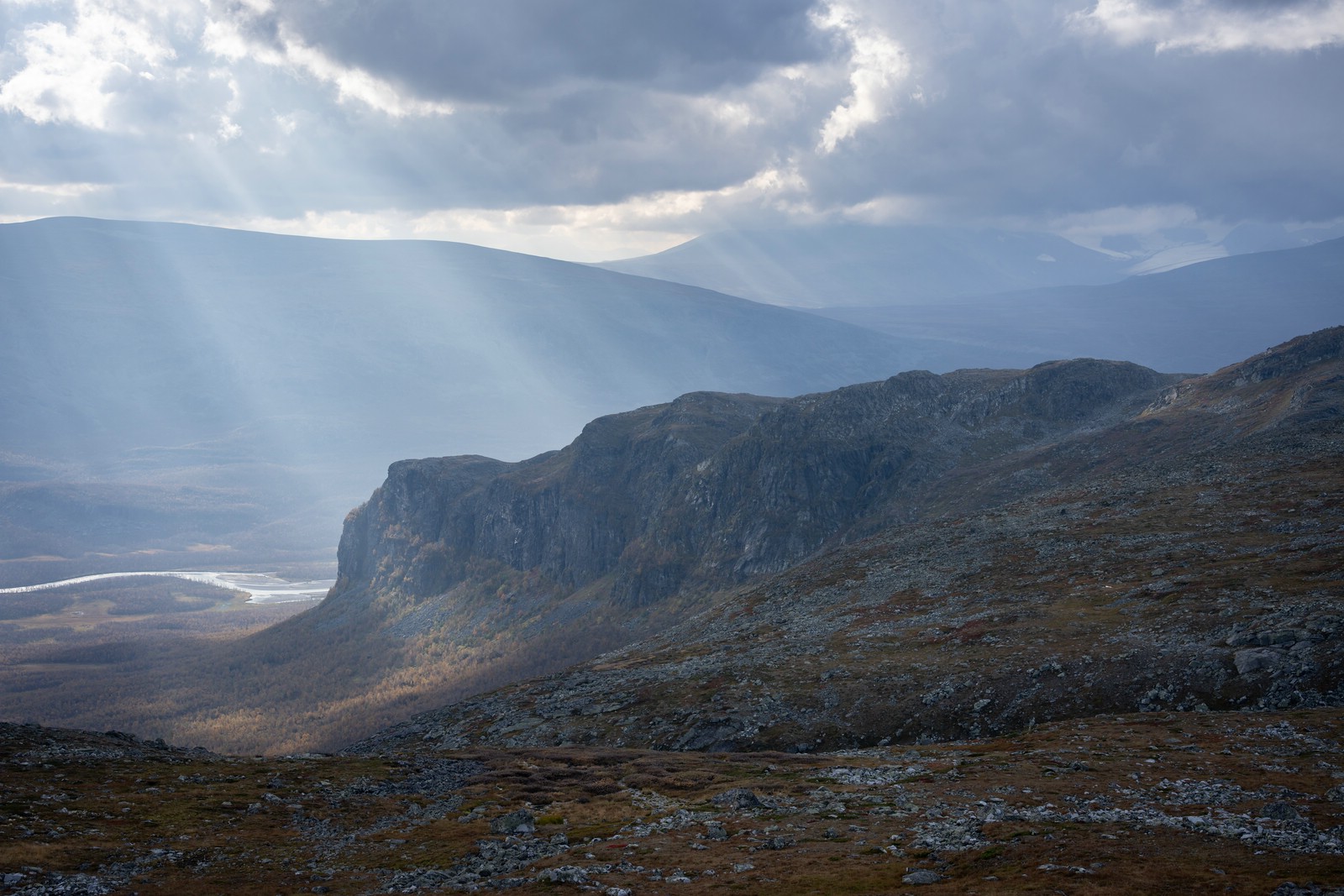
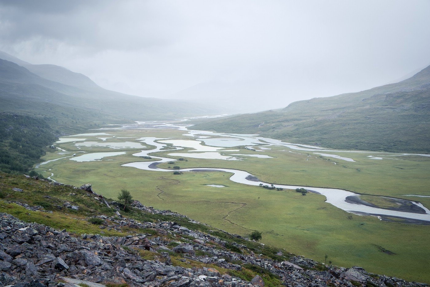
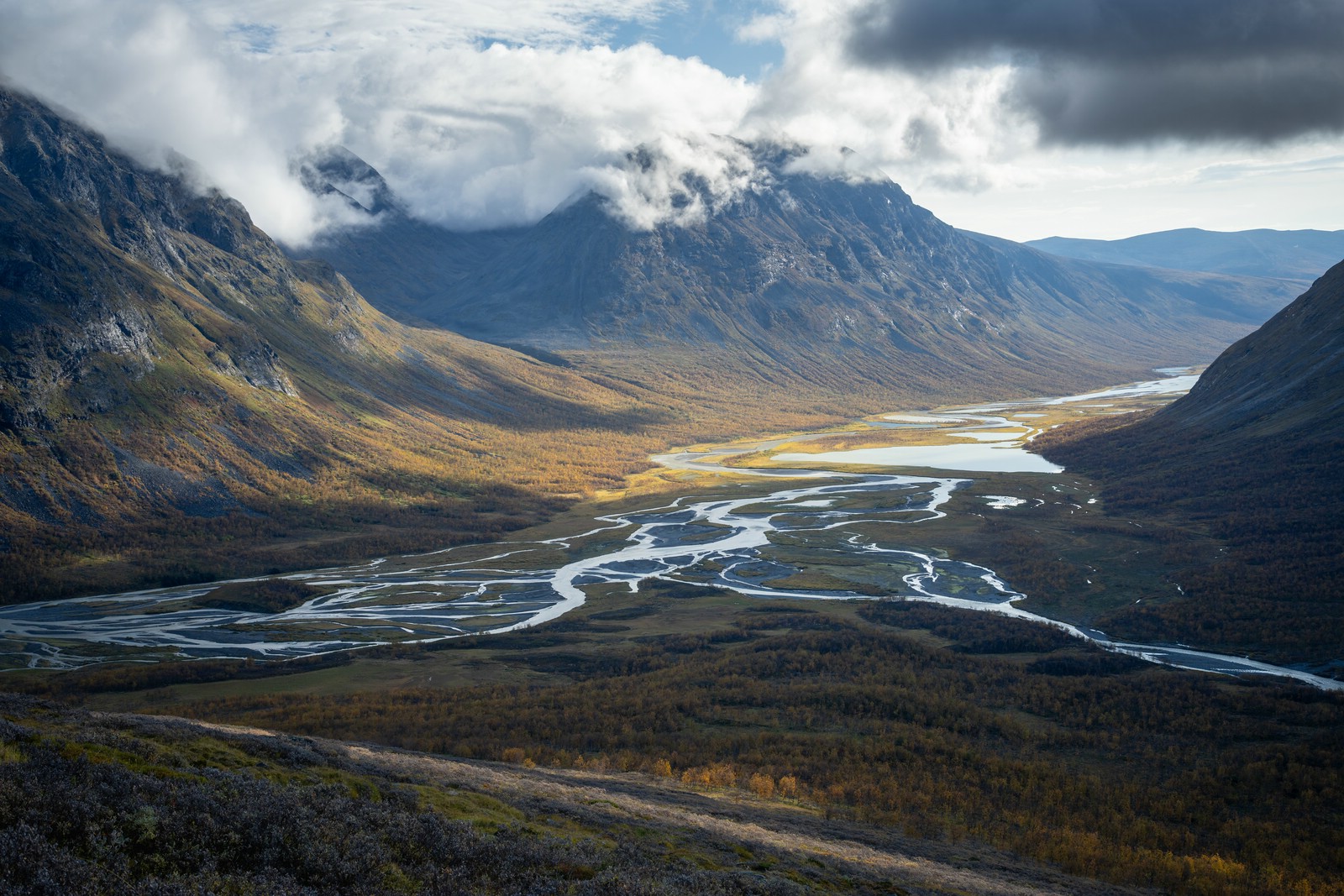
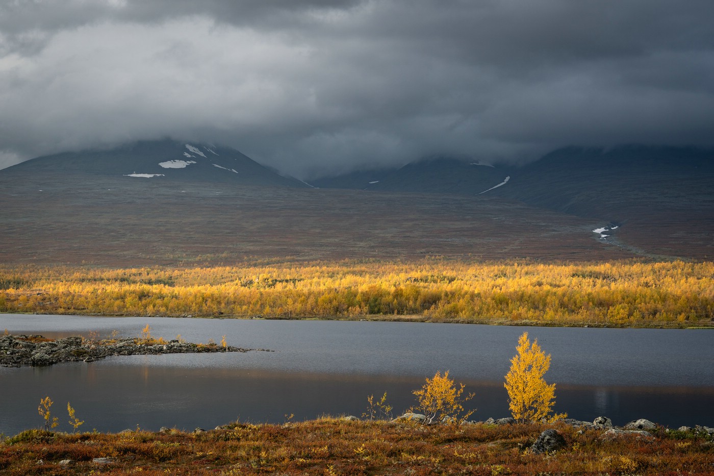
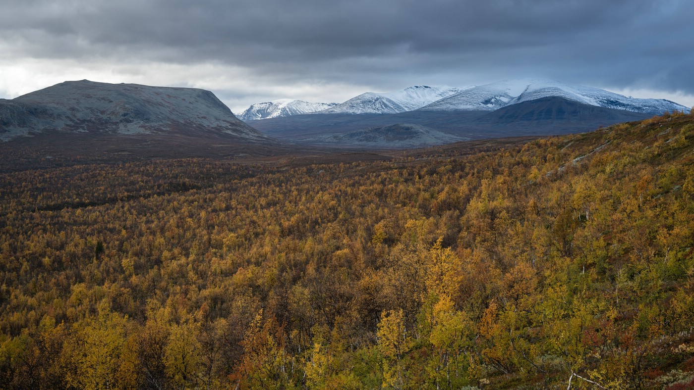
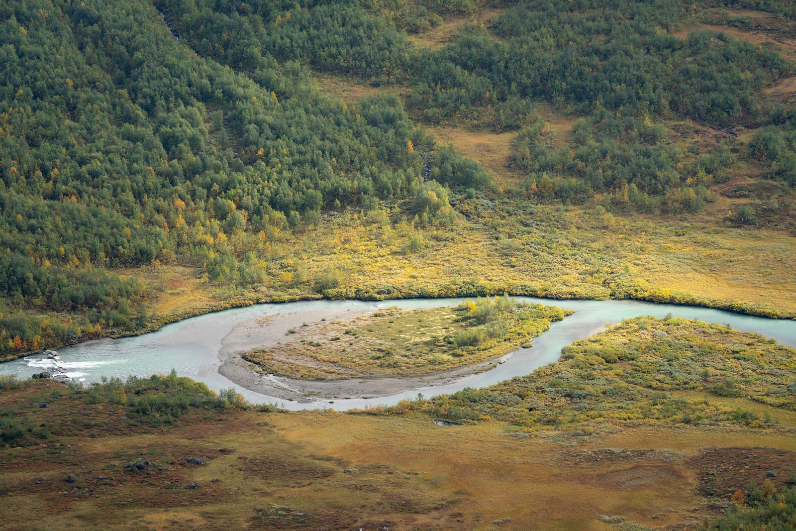
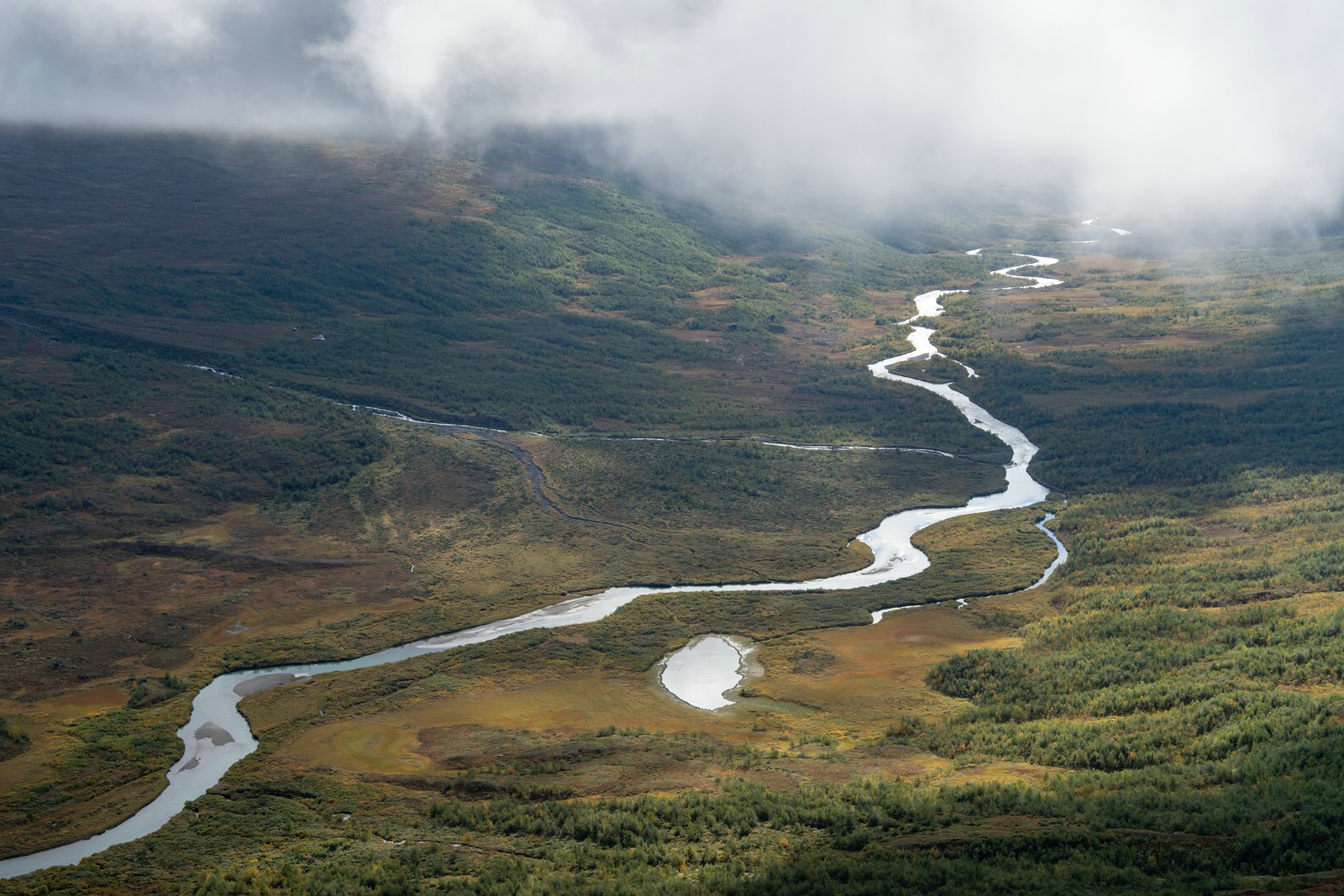
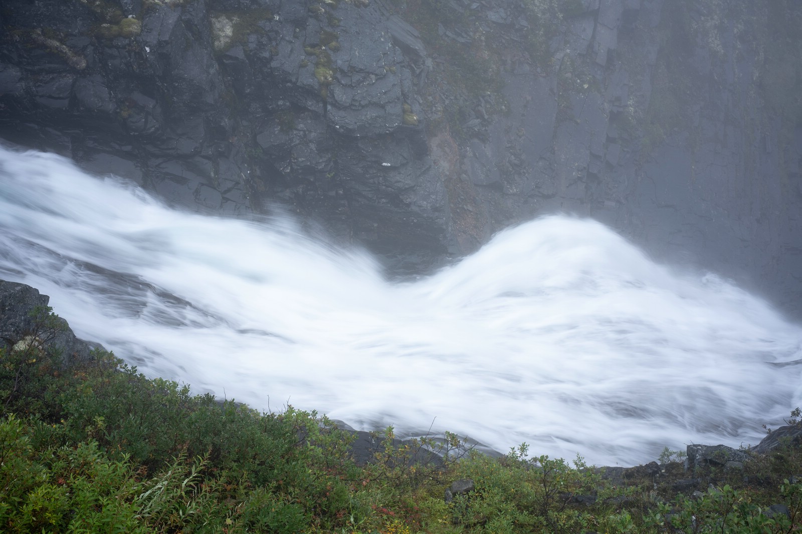
Rapadalen is the largest valley in Sarek. The middle and lower part of Rapadalen is famous for its magnificent river landscape. The Ráhpaädno river forms two large delta areas – Rapaselet and the Laitaure delta. The valley floor is in large parts covered by swamps, birch forests and dense vegetation. The small side valley Snávvávágge and mount Skierffe offer nice views of the river deltas.
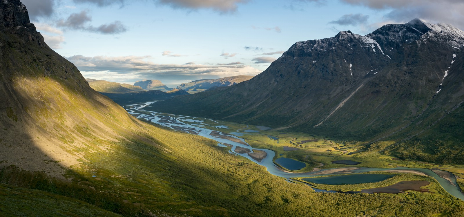
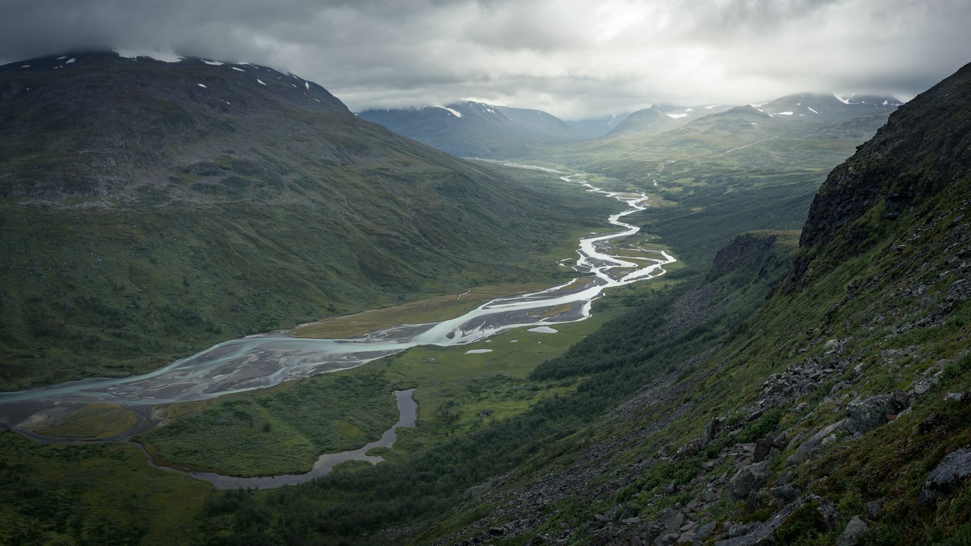
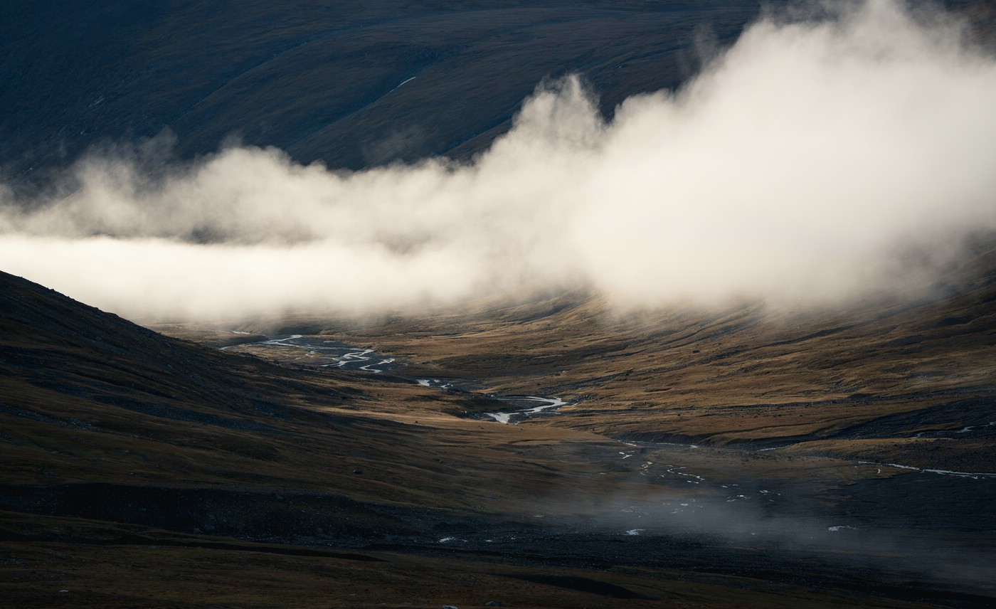
Middle Section and Rapaselet
There are tall mountains to both sides of the valley and in the middle of it all is the Rapaselet river delta. The landscape is nothing short of stunning. The following images have been taken throughout multiple trips and show very different conditions.

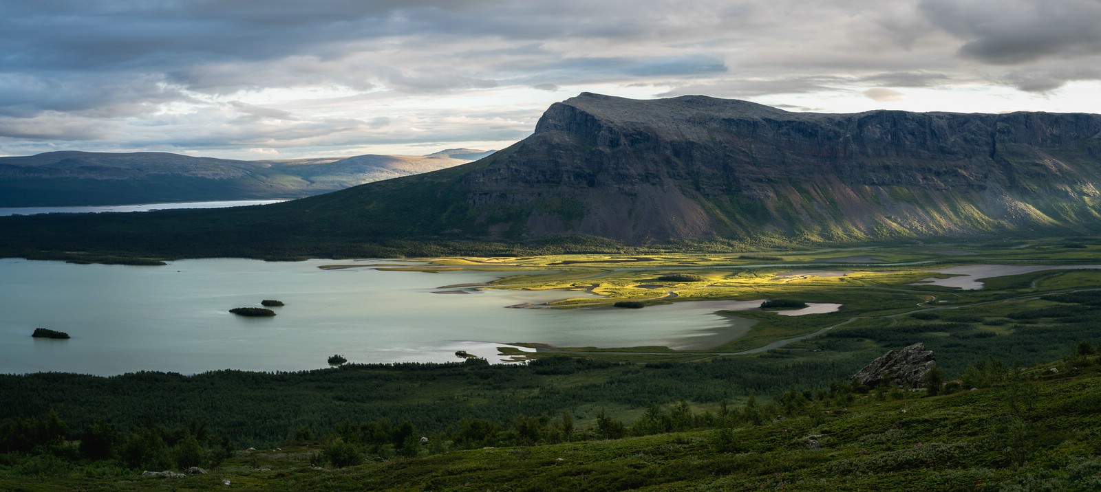
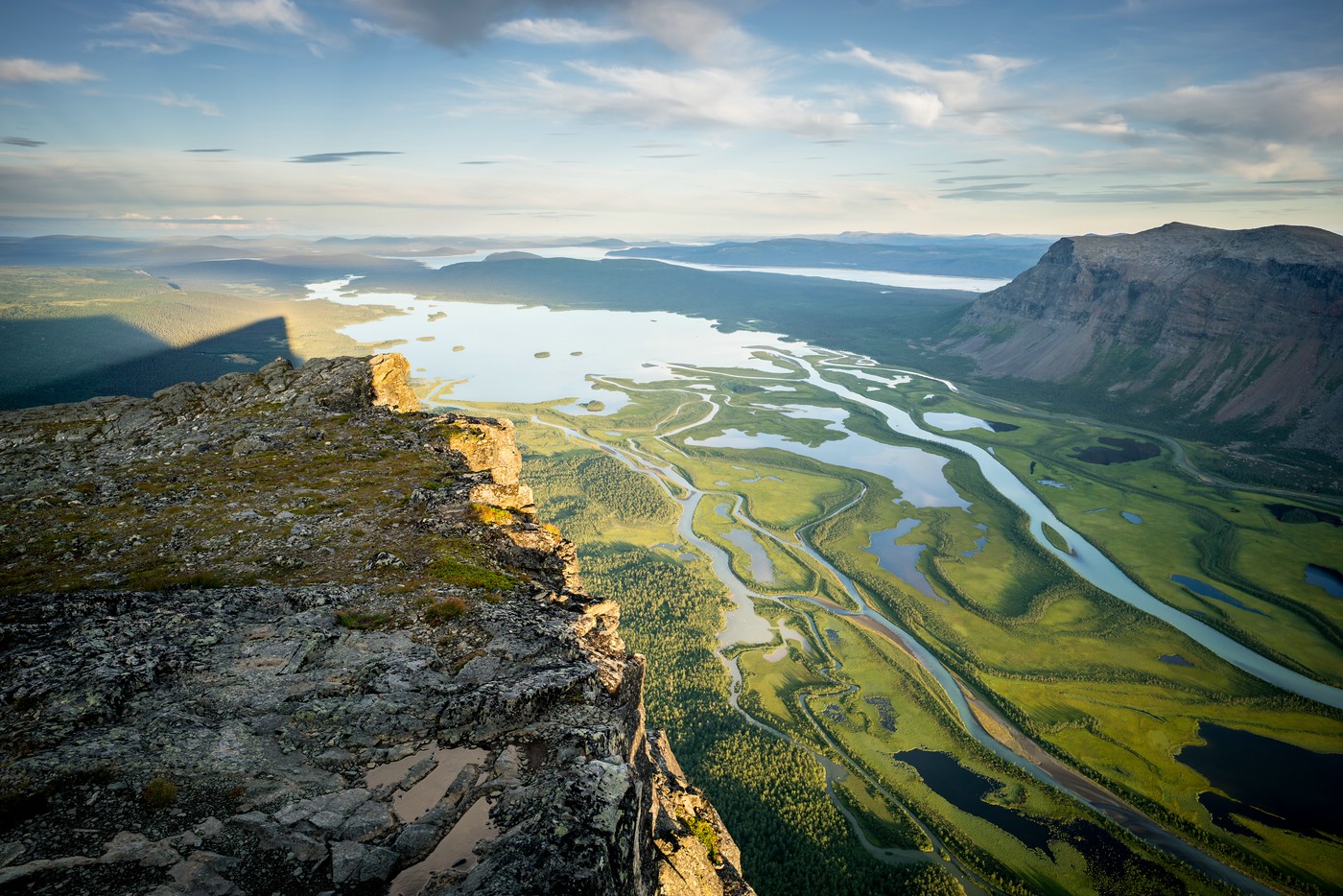
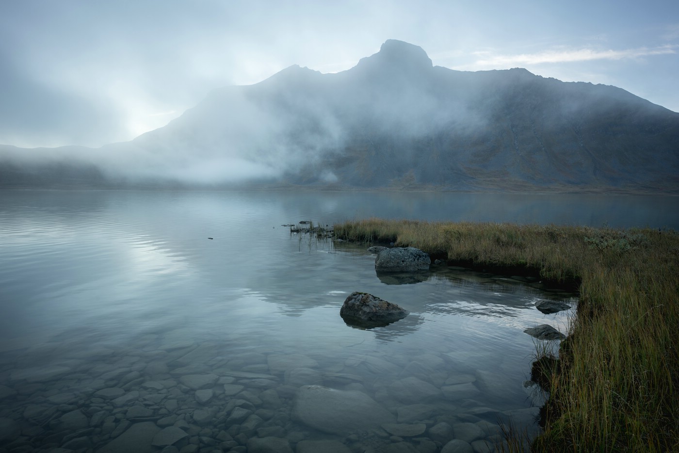
Laitaure Delta and Mount Skierffe
The Laitaure Delta is one of the most beautiful and spectacular river deltas in the world. The summit of Skierffe provides an excellent viewing point. The following gallery features images from several trips at different times of year.
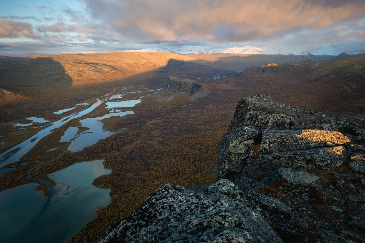
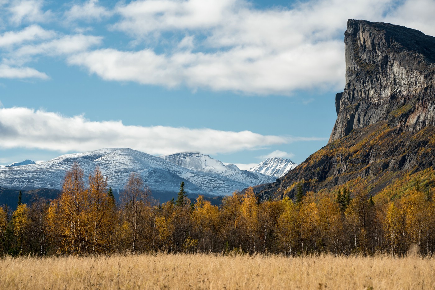
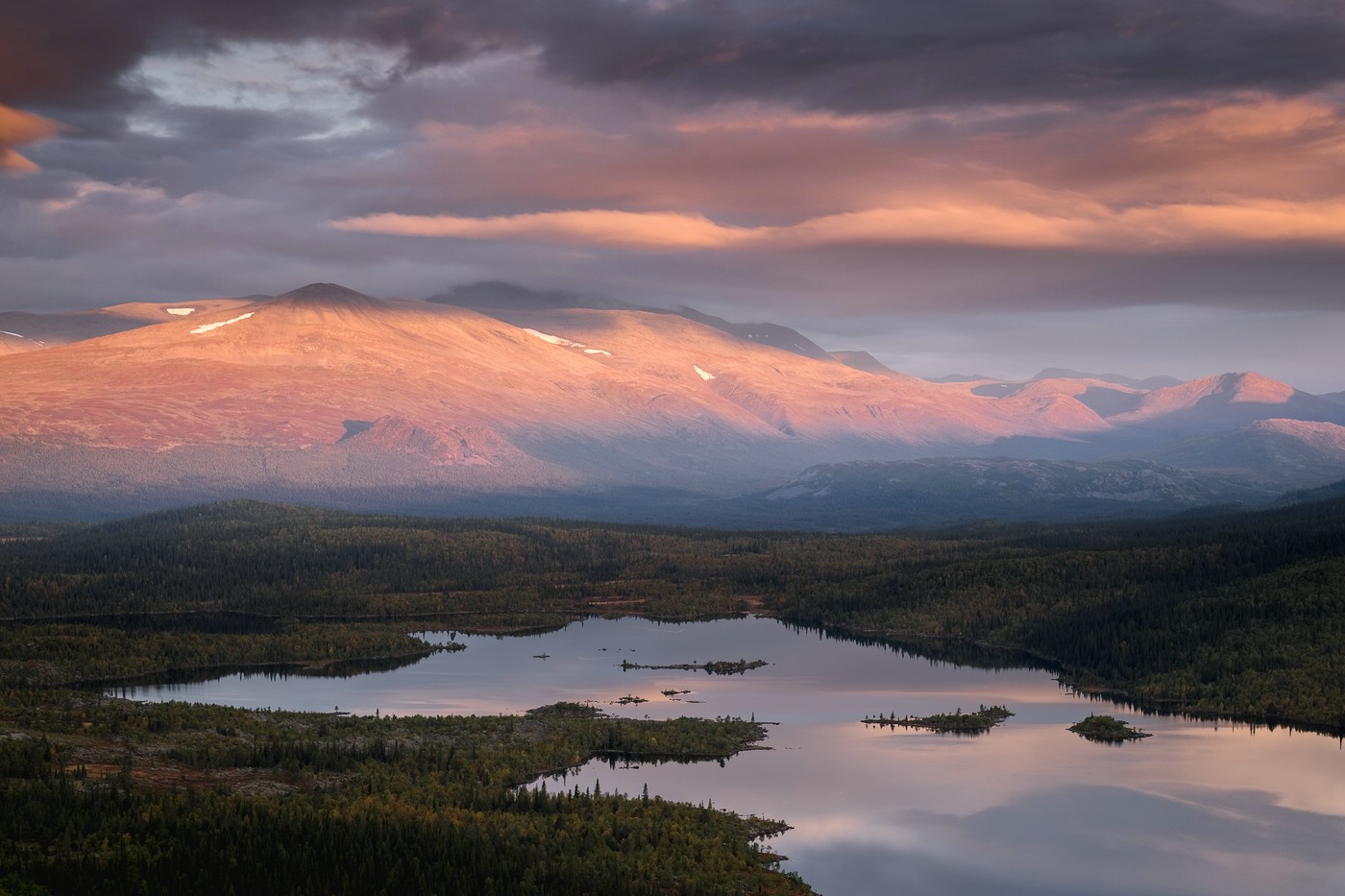
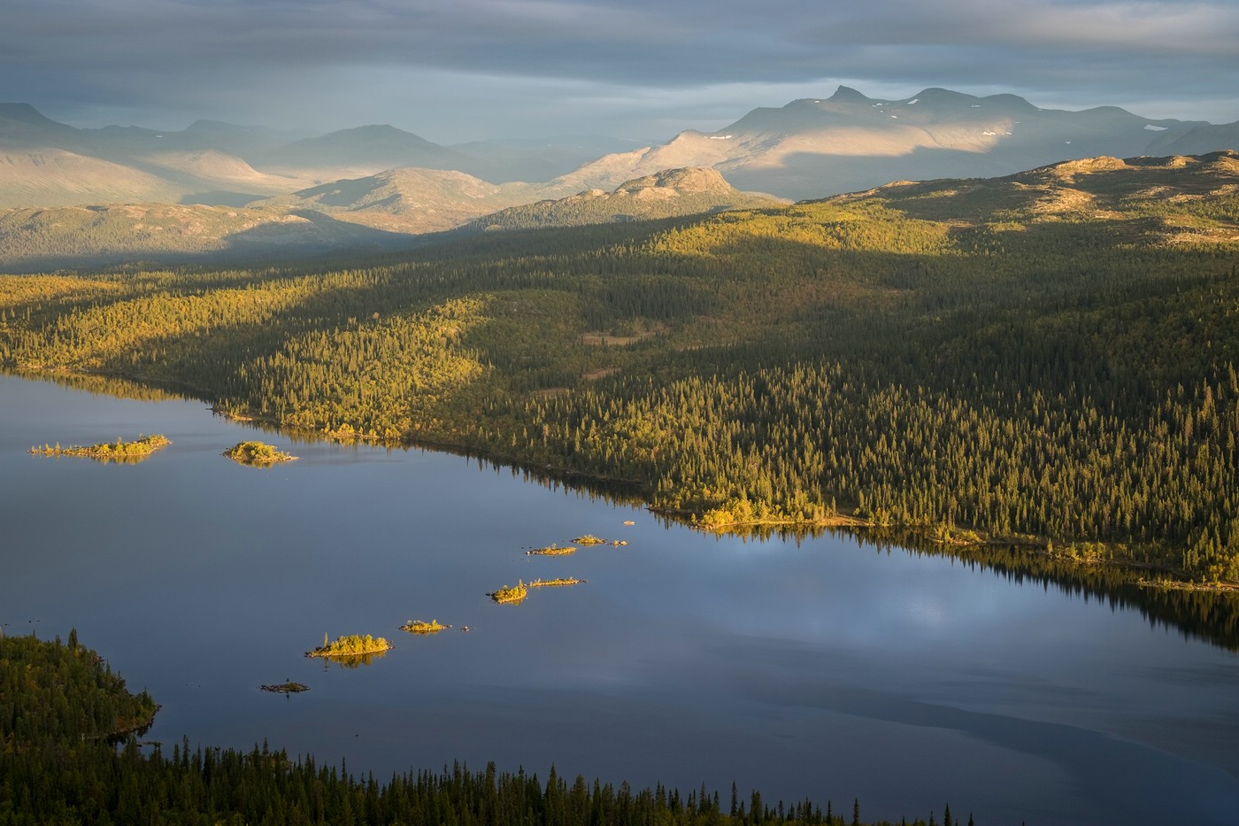
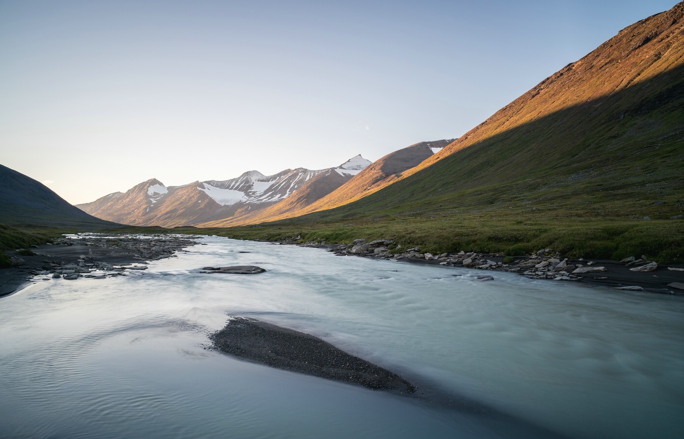
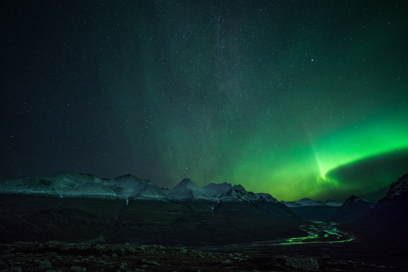
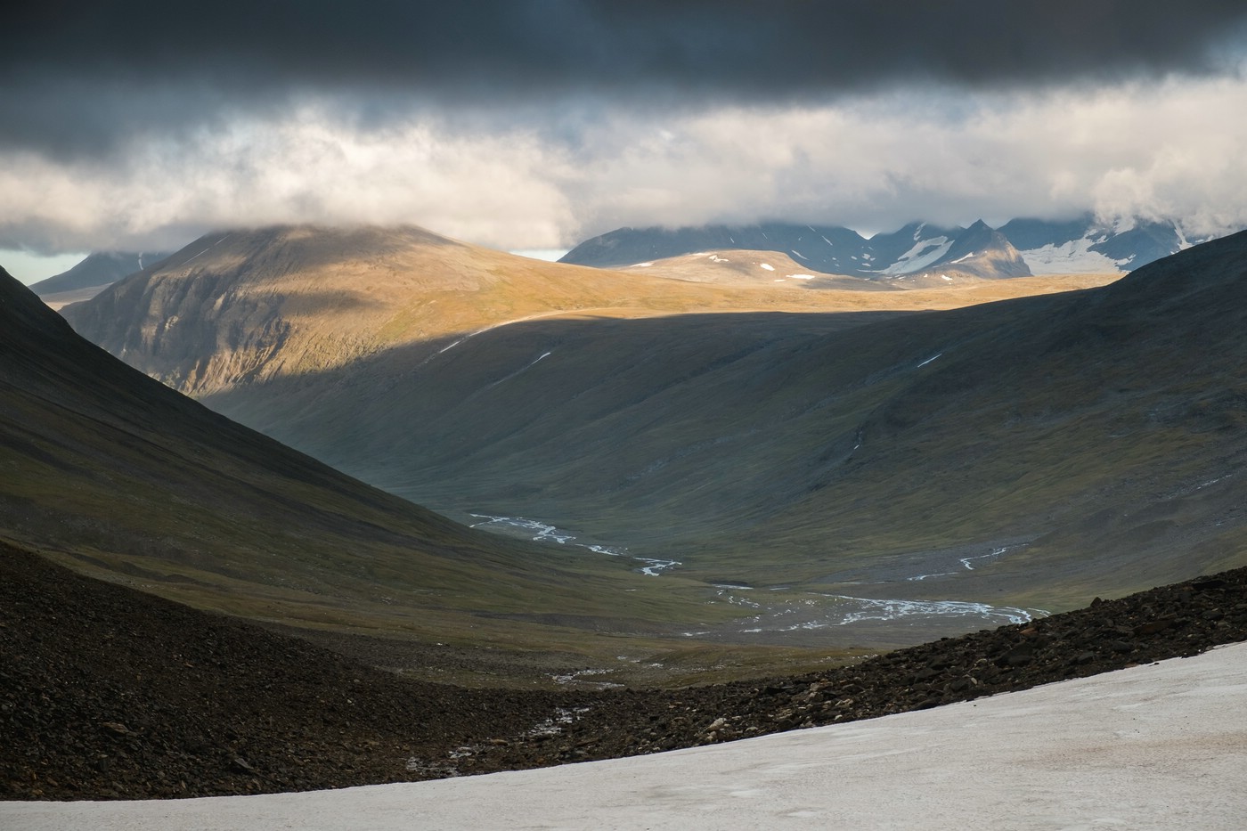
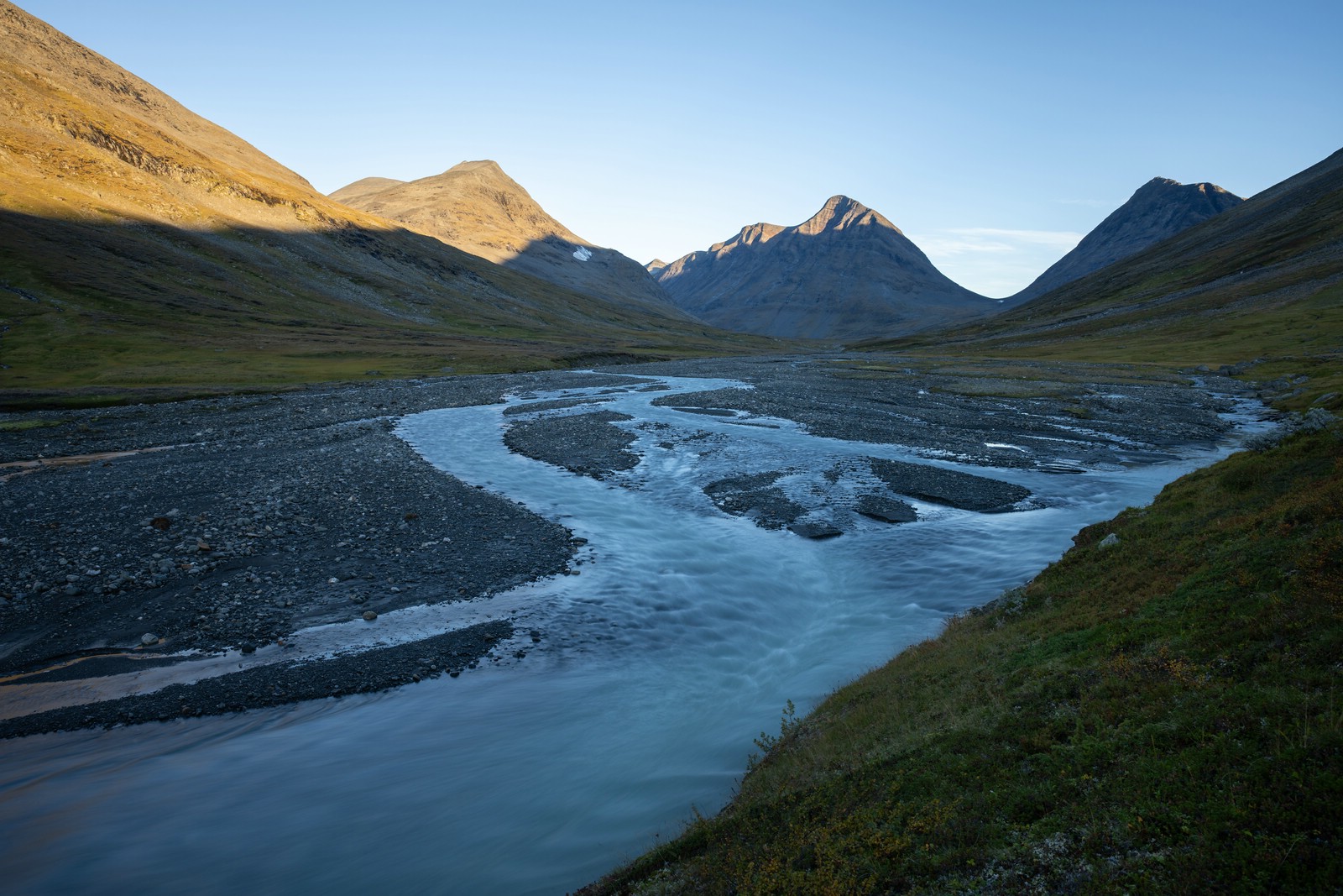
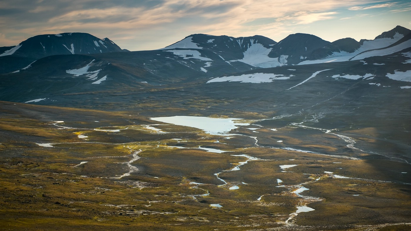
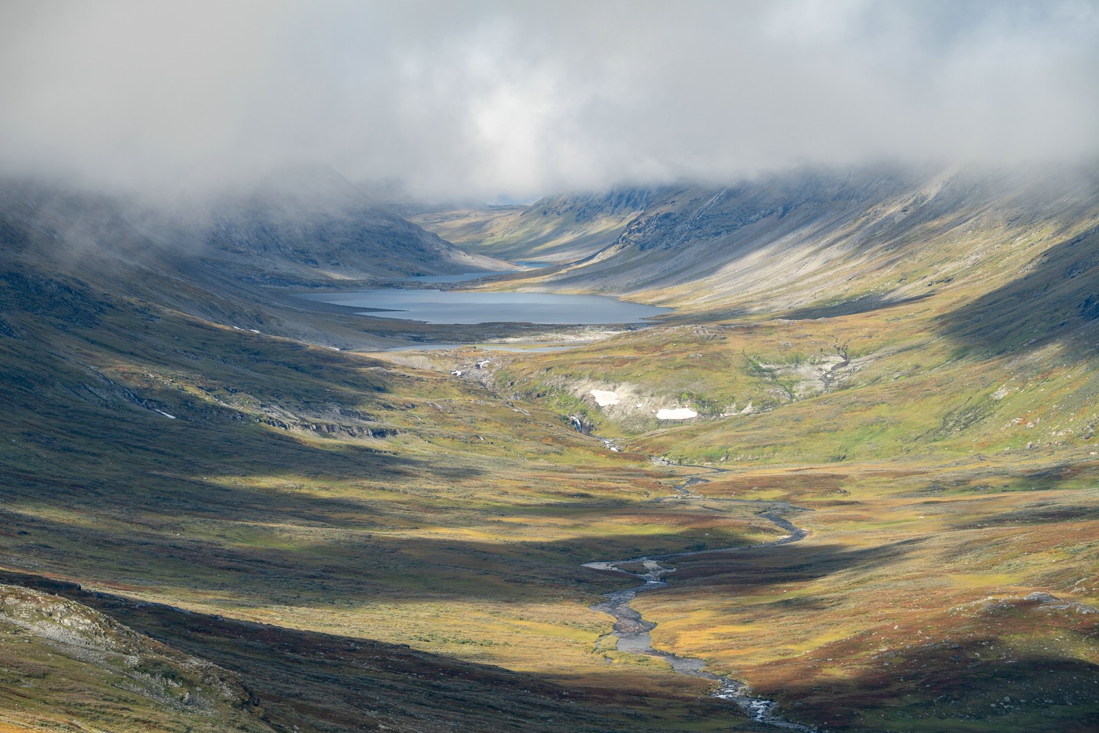
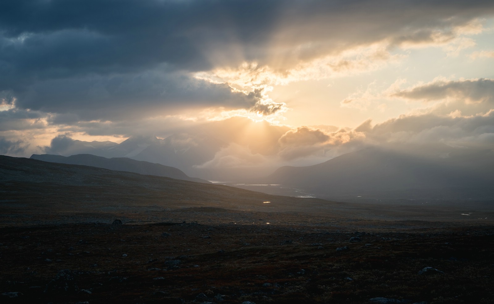
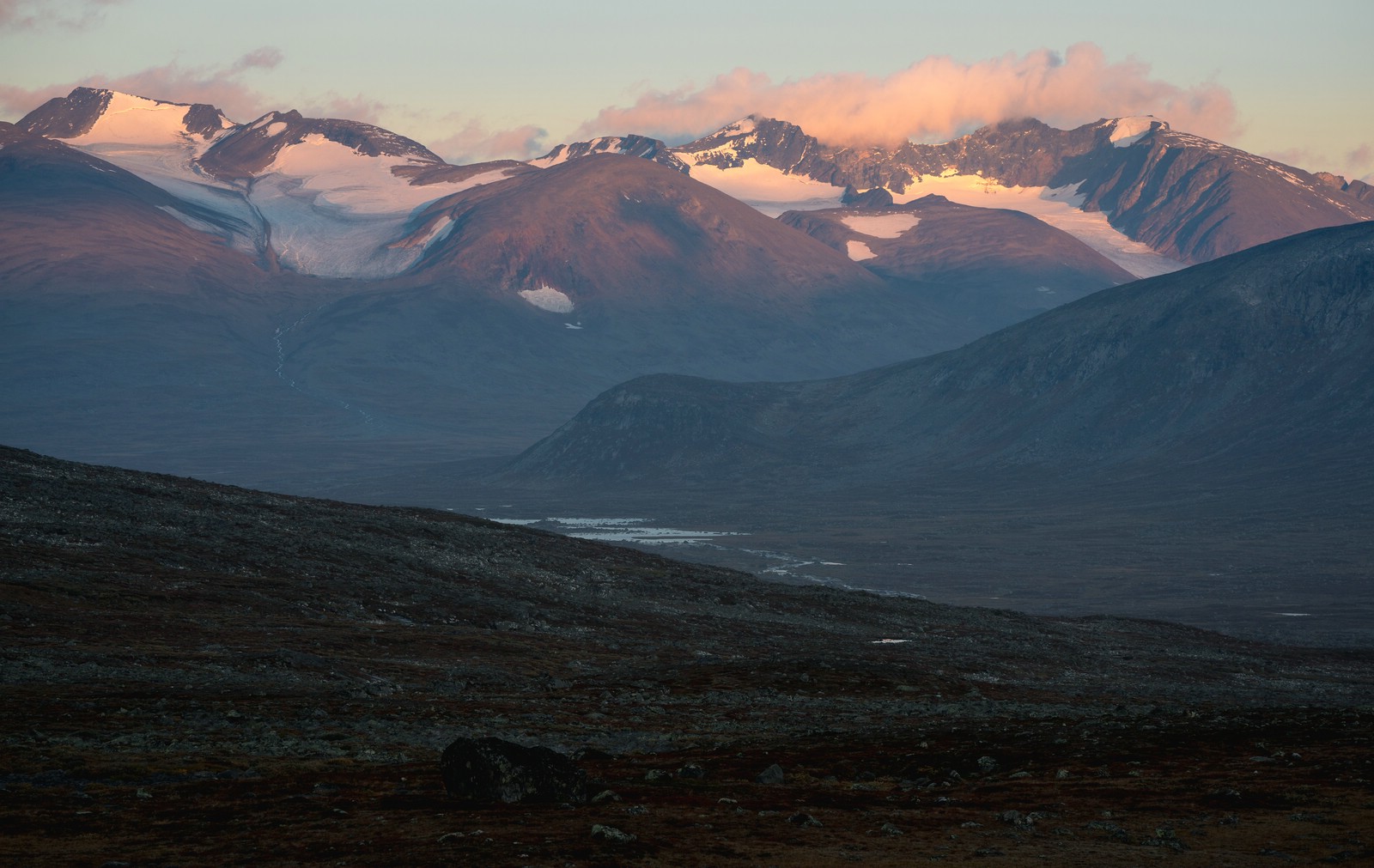
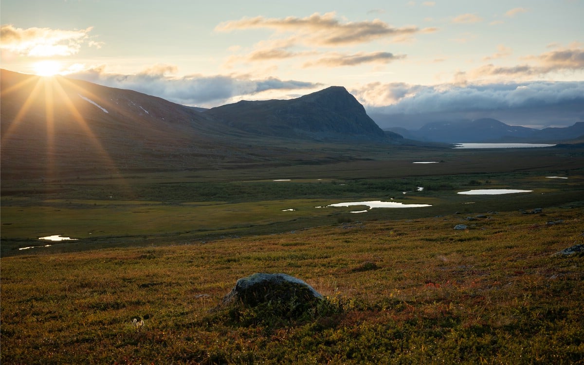
Upper Rapadalen
The landscape in the upper part of Rapadalen is more open then in the middle section where steep mountains are to both sides of the valley. There is also another small delta area is formed by Ráhpajåhkå.
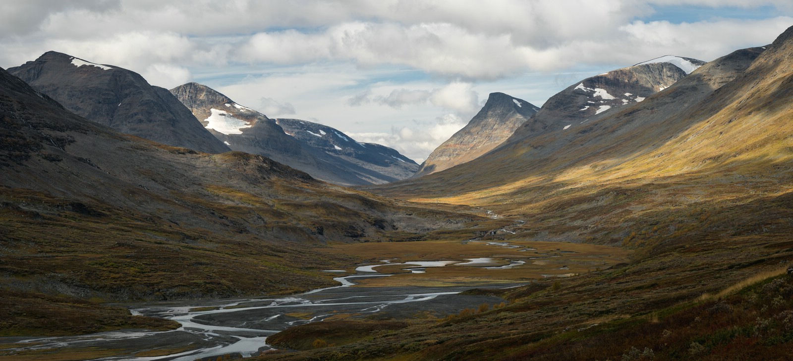
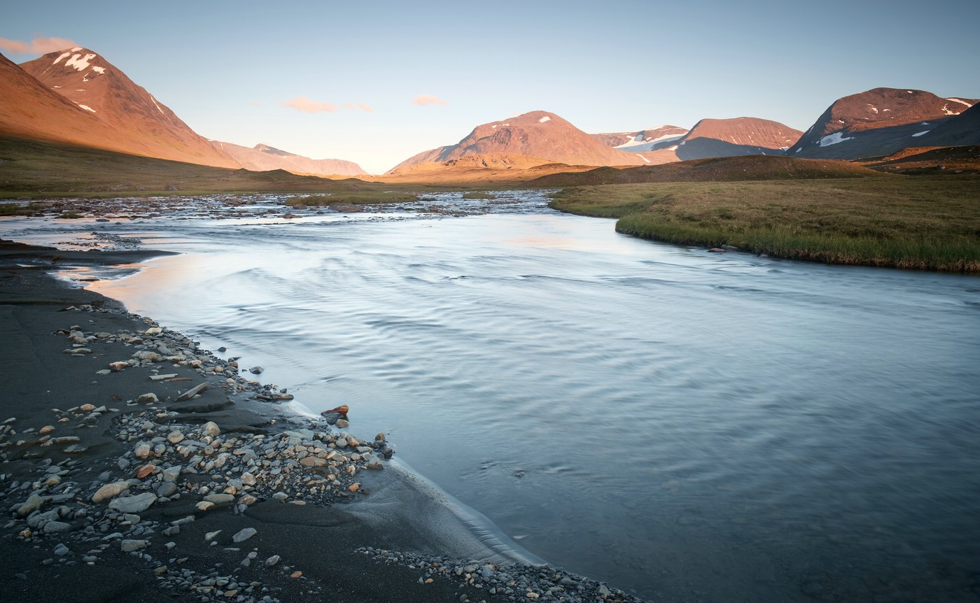
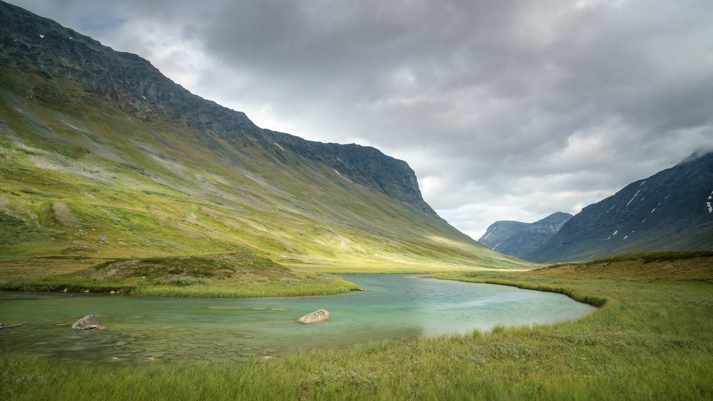
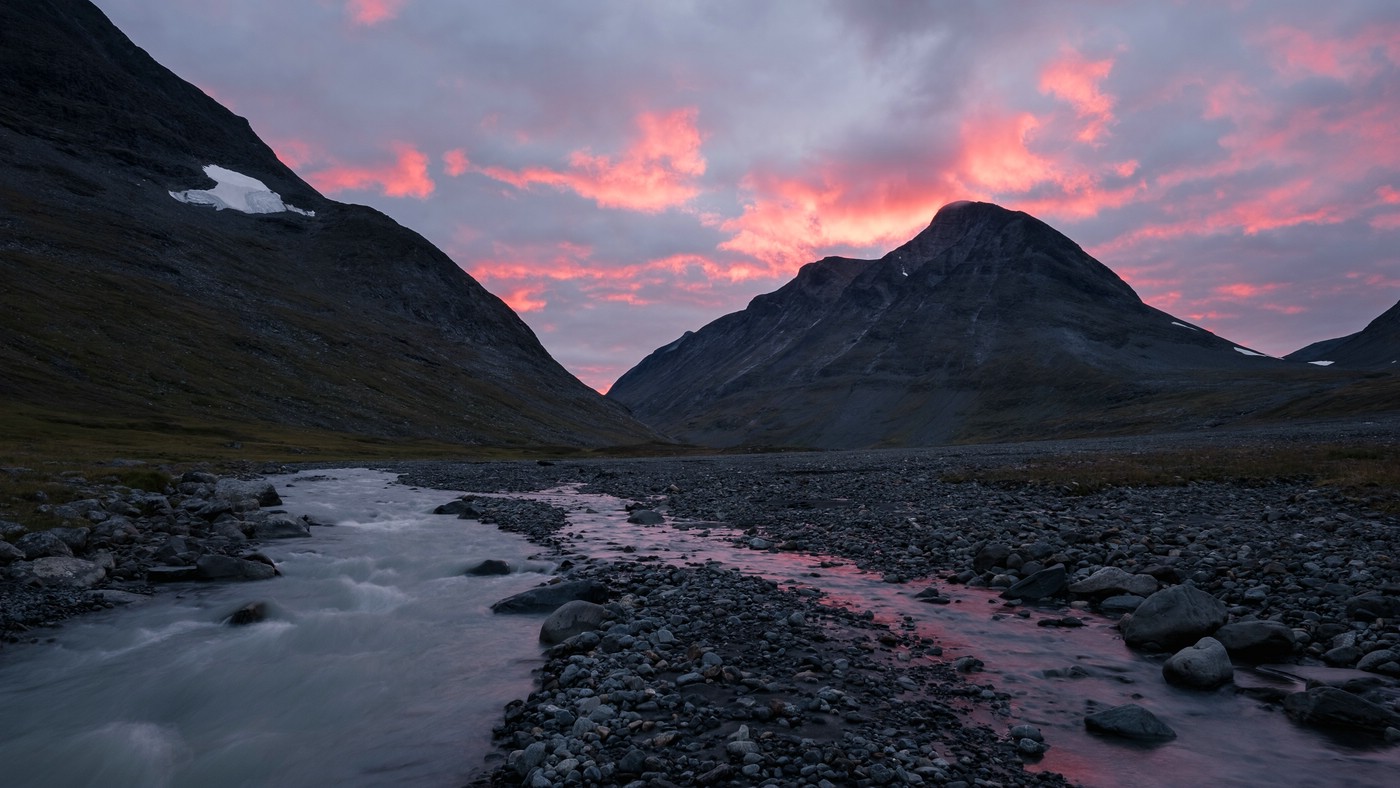
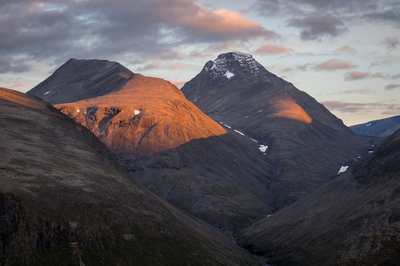
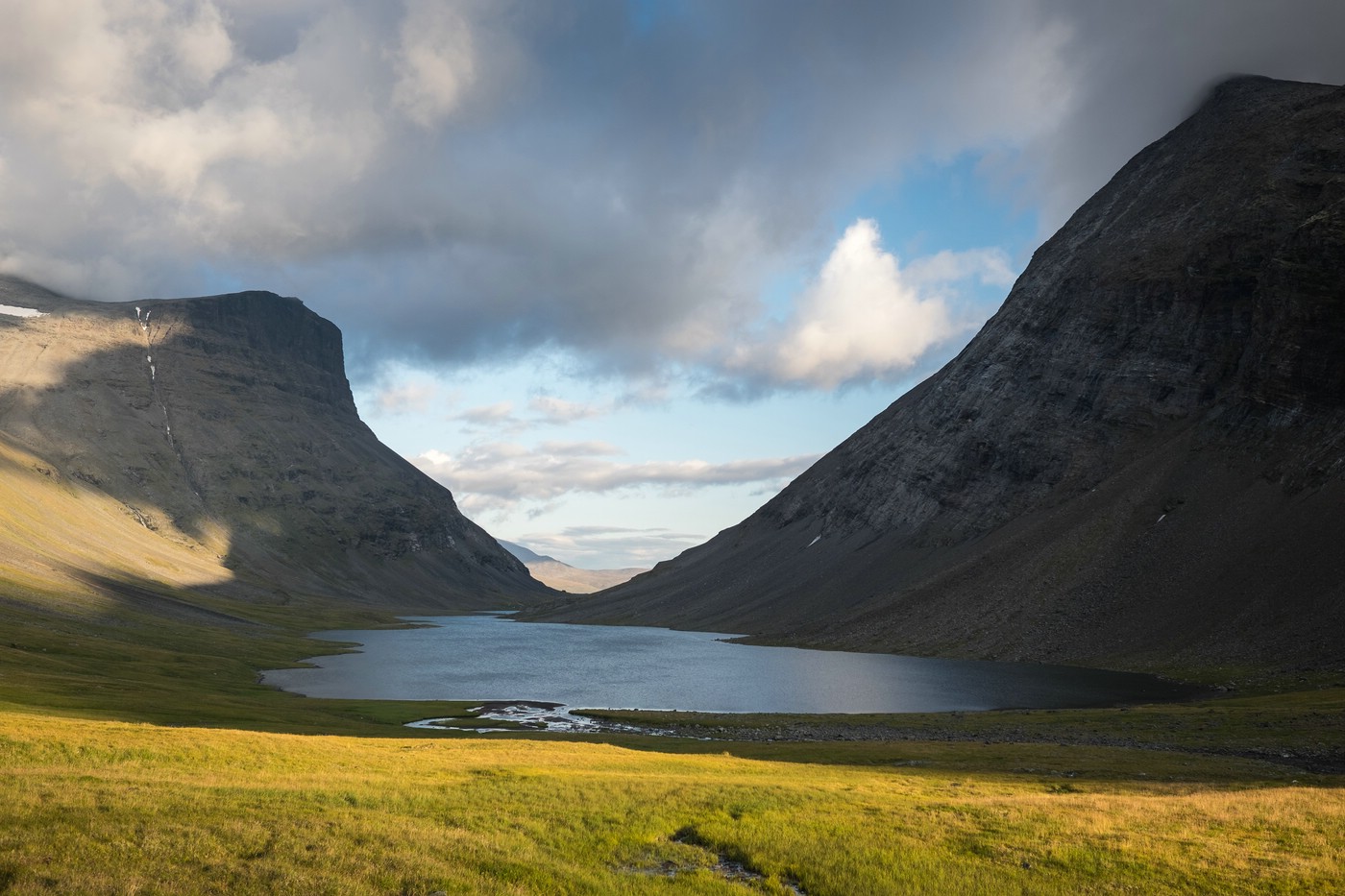
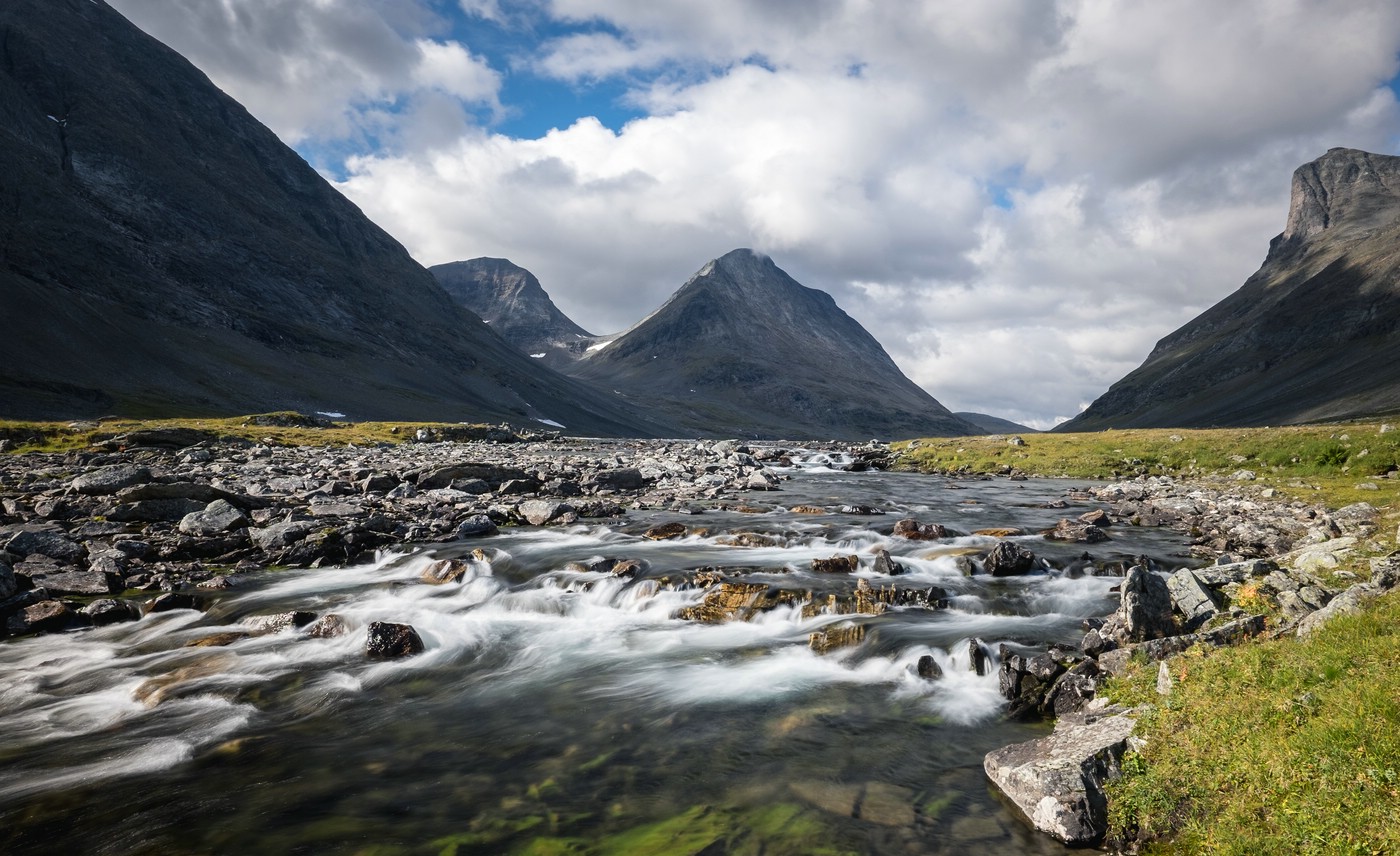
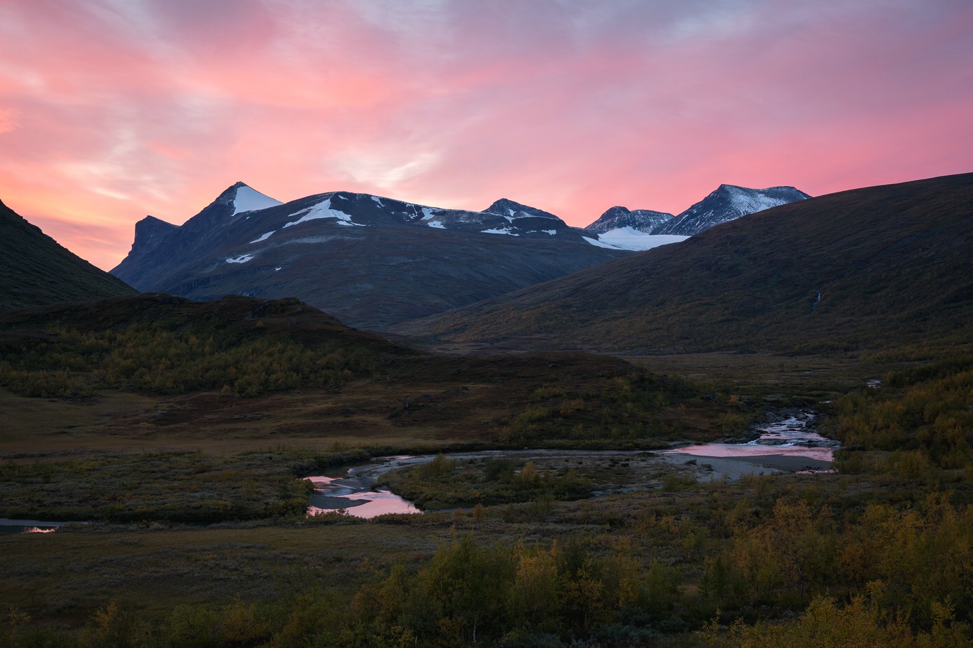
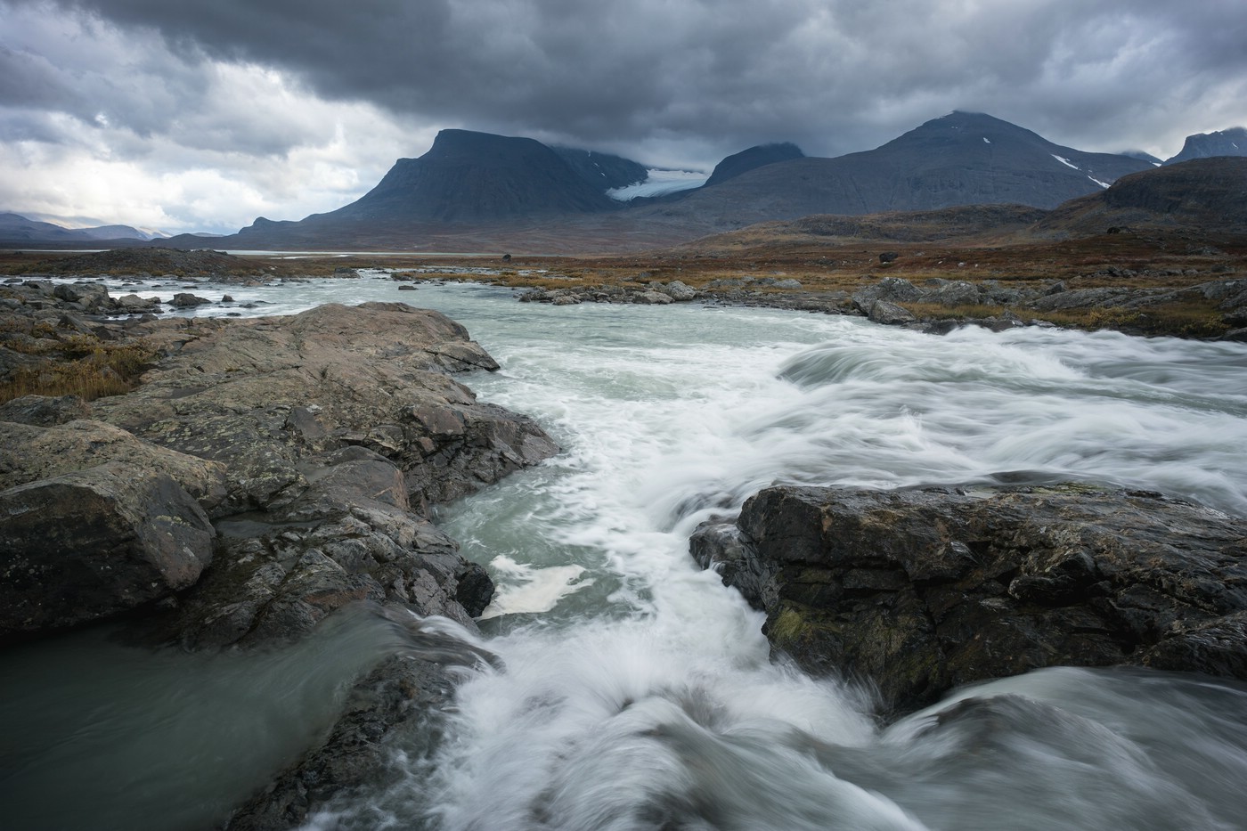
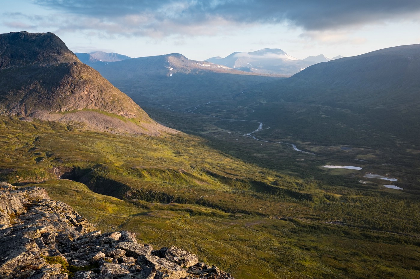
Sarvesvágge
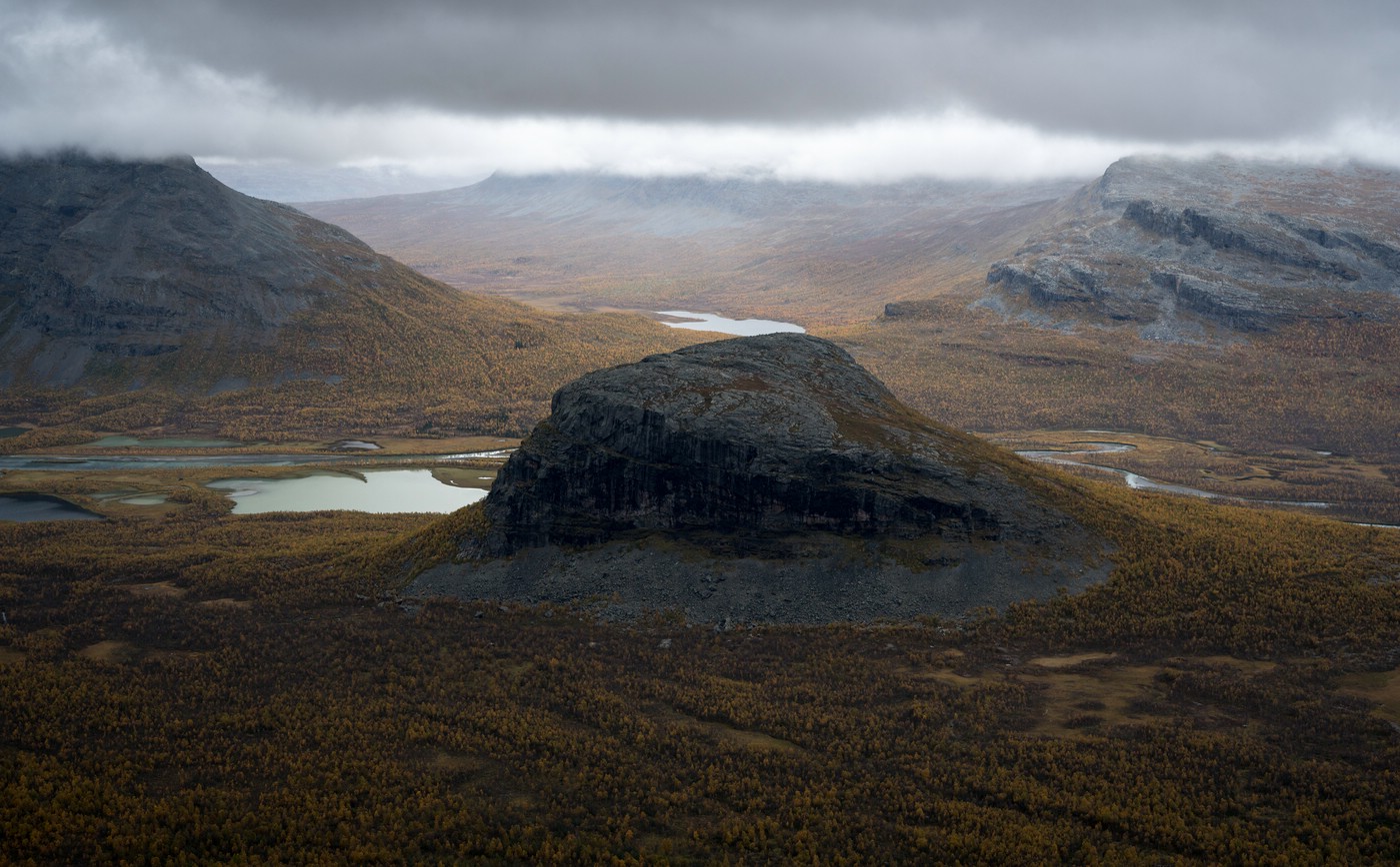
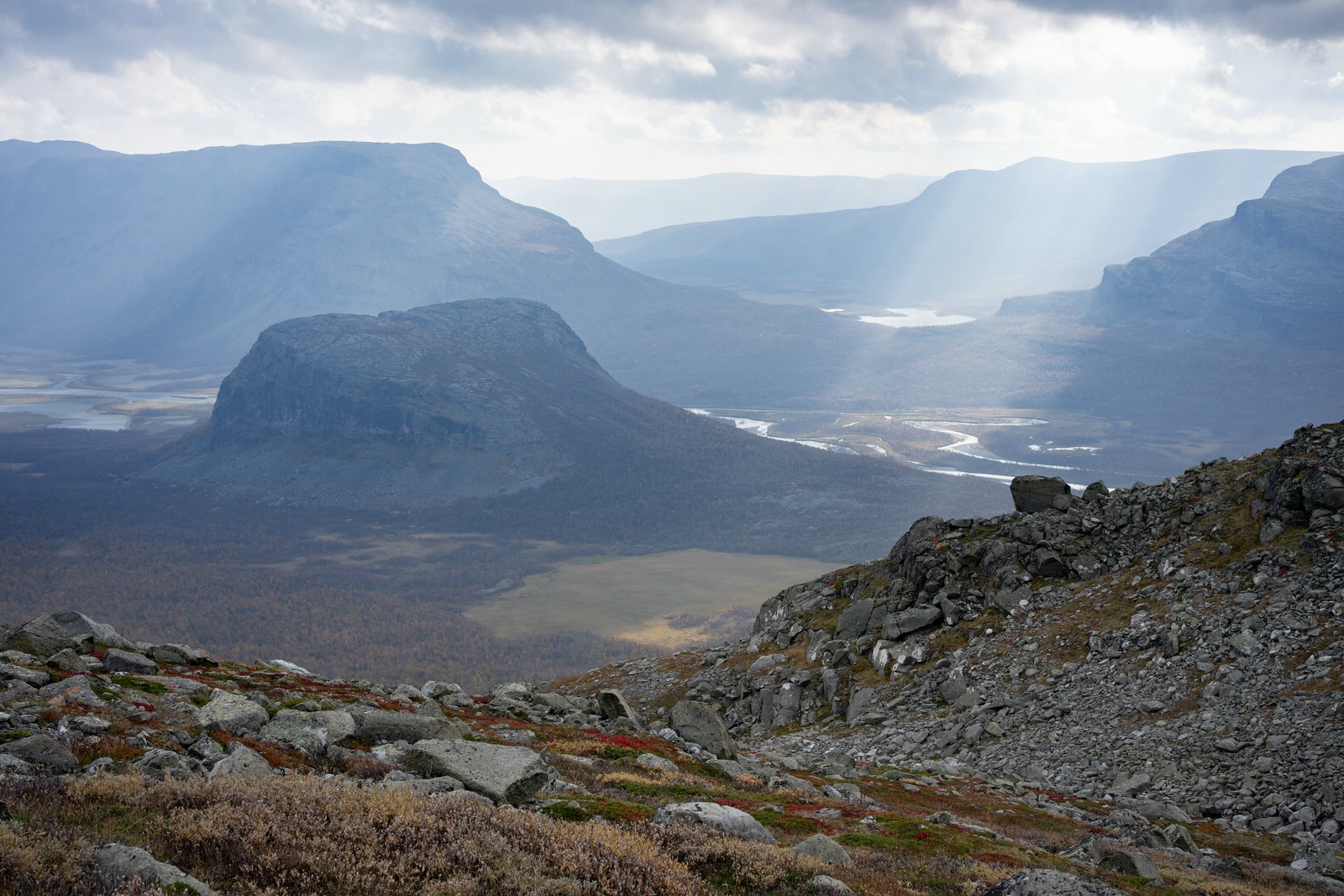
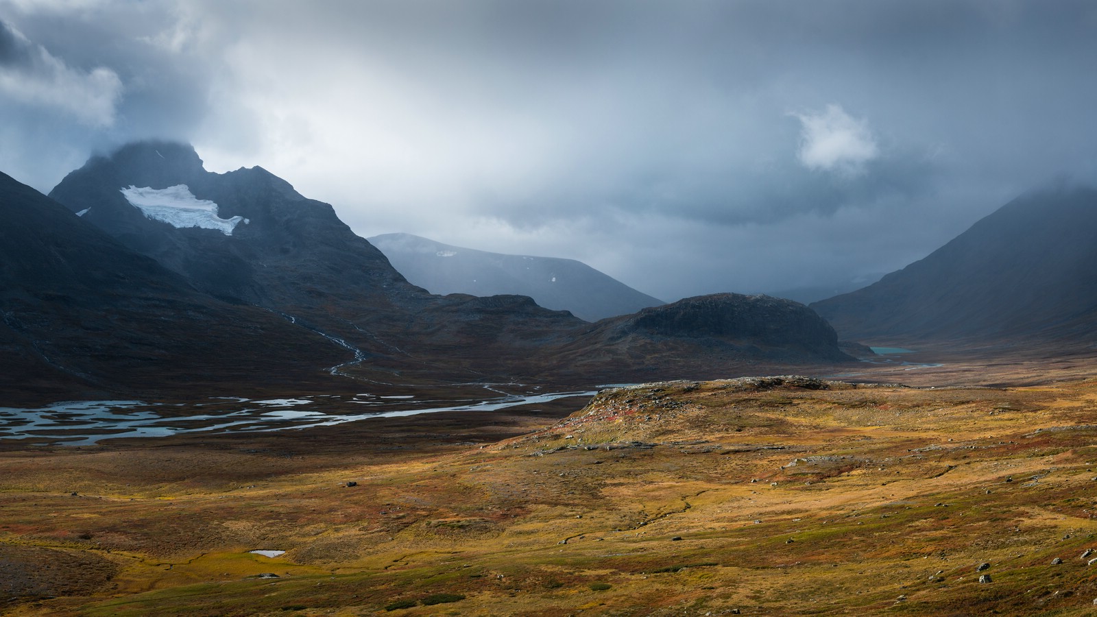
Sarvesvágge is the second-longest valley in Sarek and not traveled very often. While the upper part is mostly consisting of meadows, the lower part of the valley is covered by brush and birch forest and strenuous to cross. I liked especially the place where Sarvesvágge meets Rapadalen. It is very beautiful seen from above and the valley floor is full of wildlife.
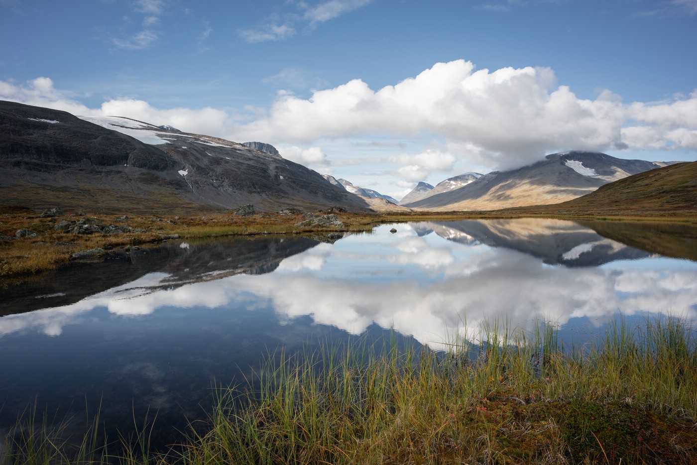
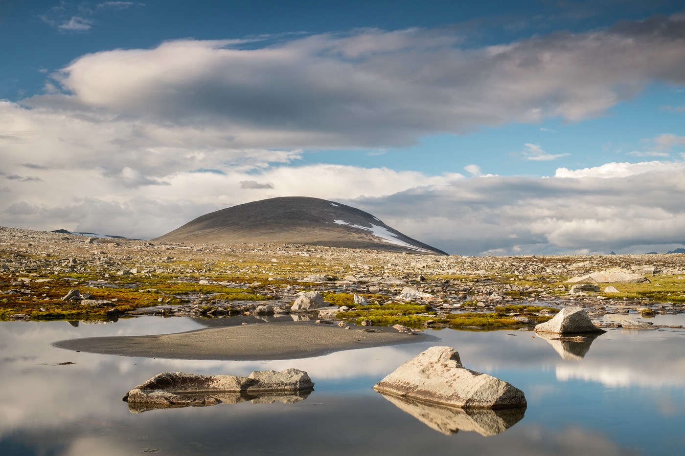
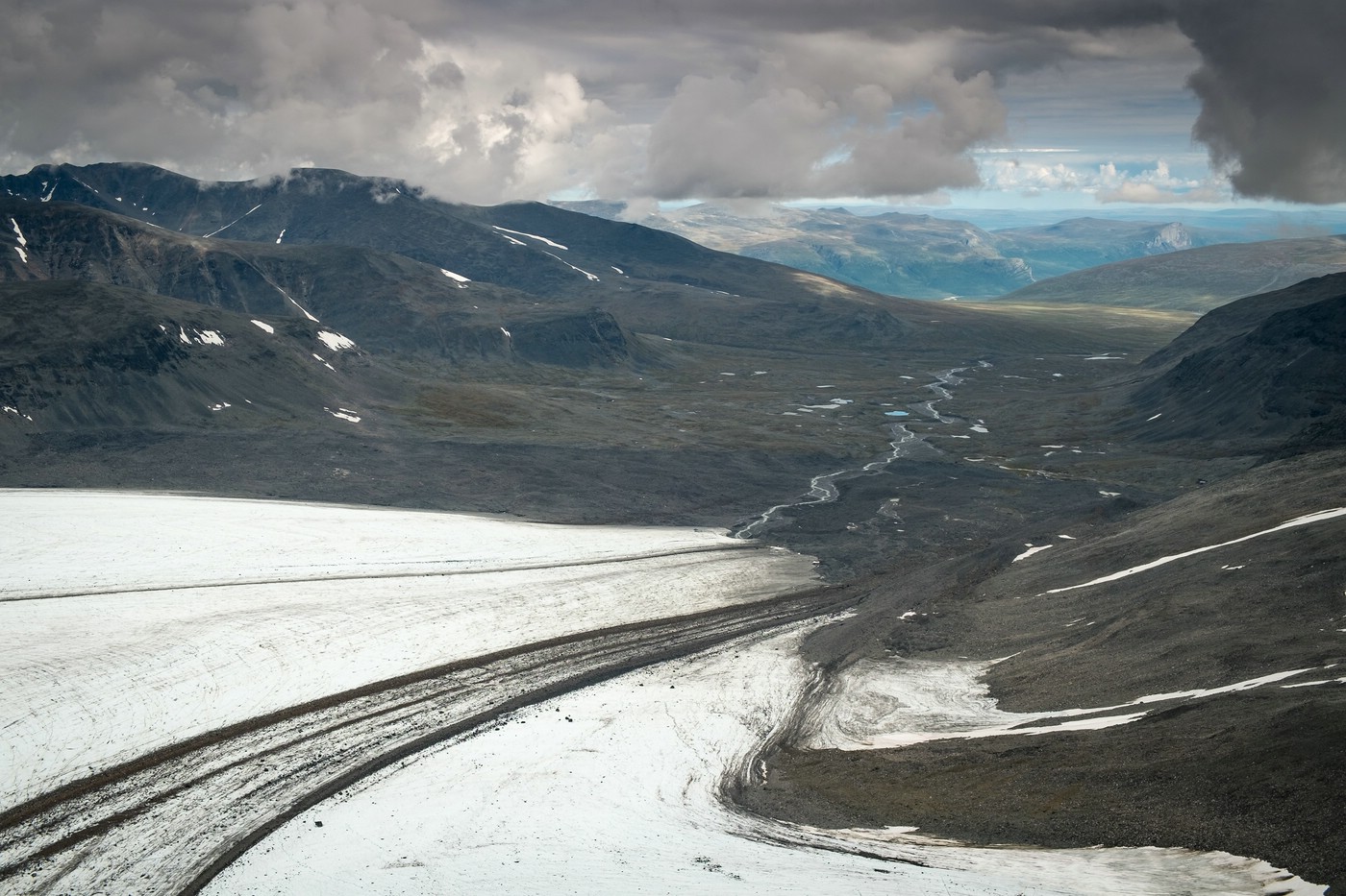
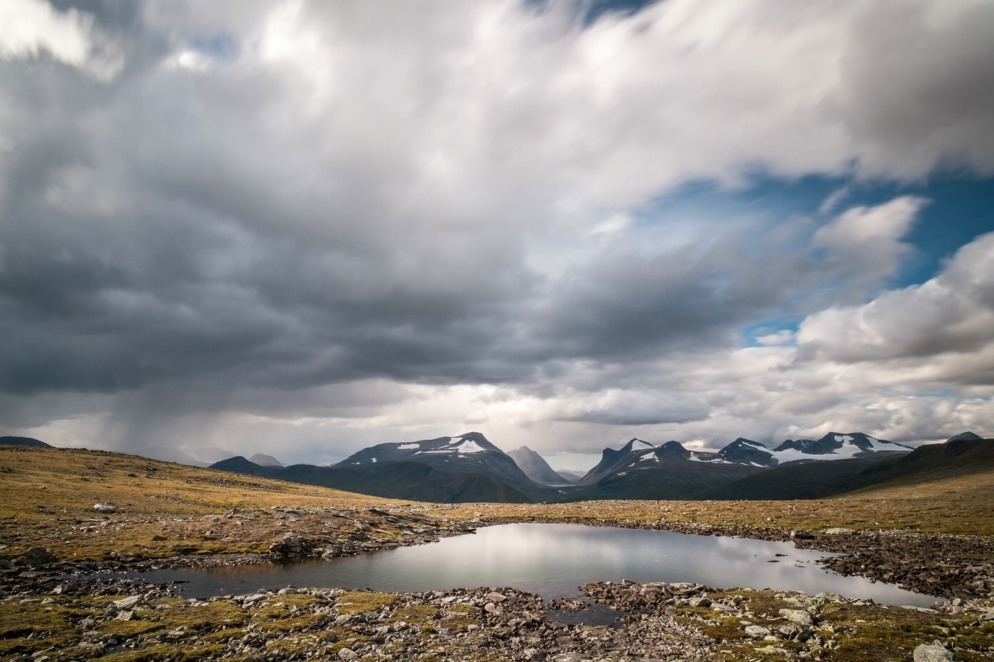
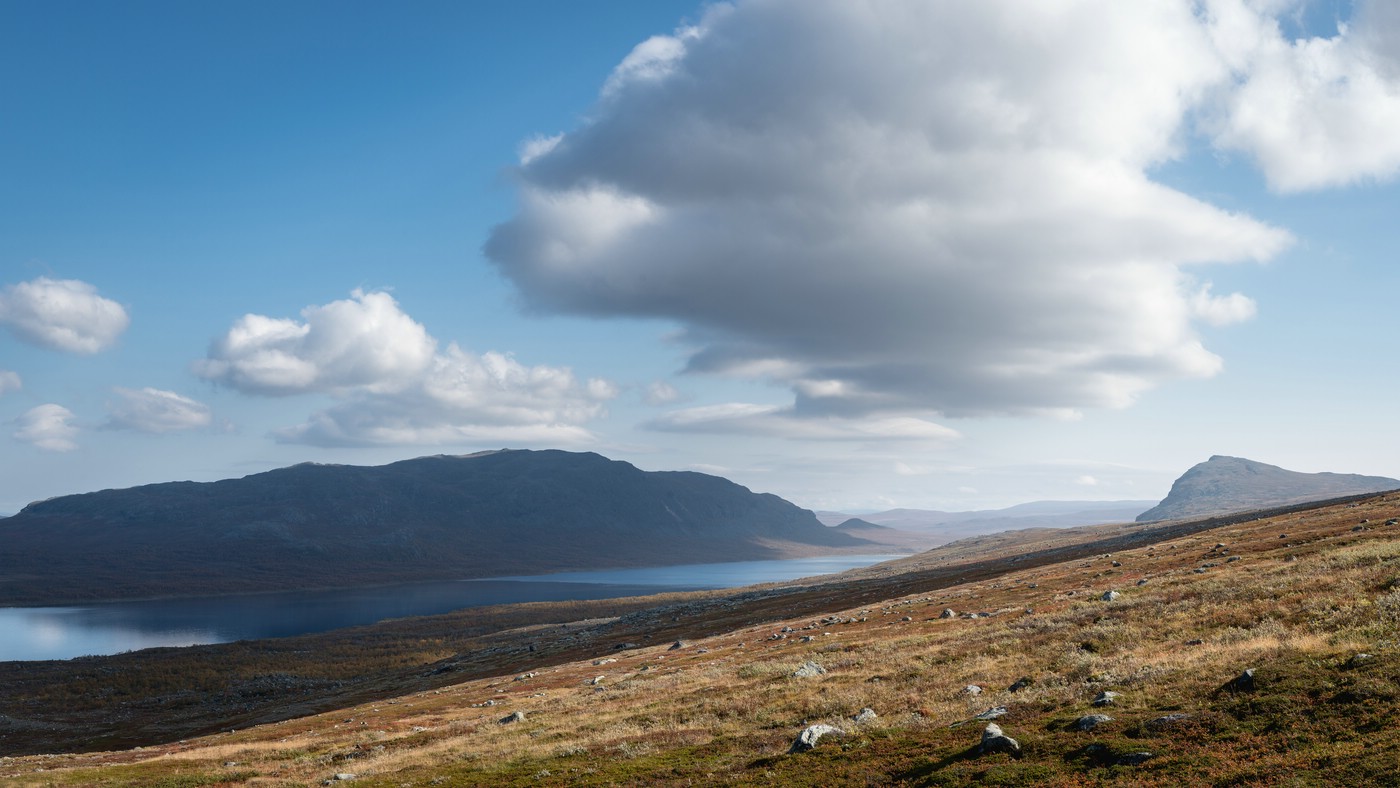
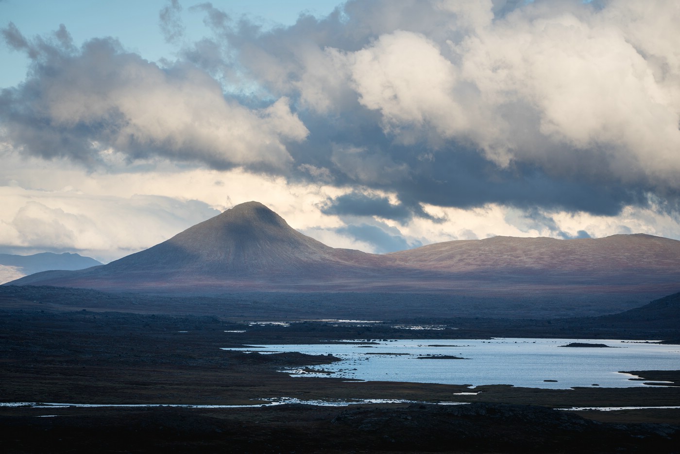
Luohttoláhko and Pårte Mountain Range
Luohttoláhko a high plane in Sarek that features several small lakes and is framed by mountain ranges and the valleys Sarvesvágge and Njoatsosvágge. It can be a silent place due to the absence of larger streams. The Pårte mountains are located to the south-east of Luohttoláhko and feature several glaciers.
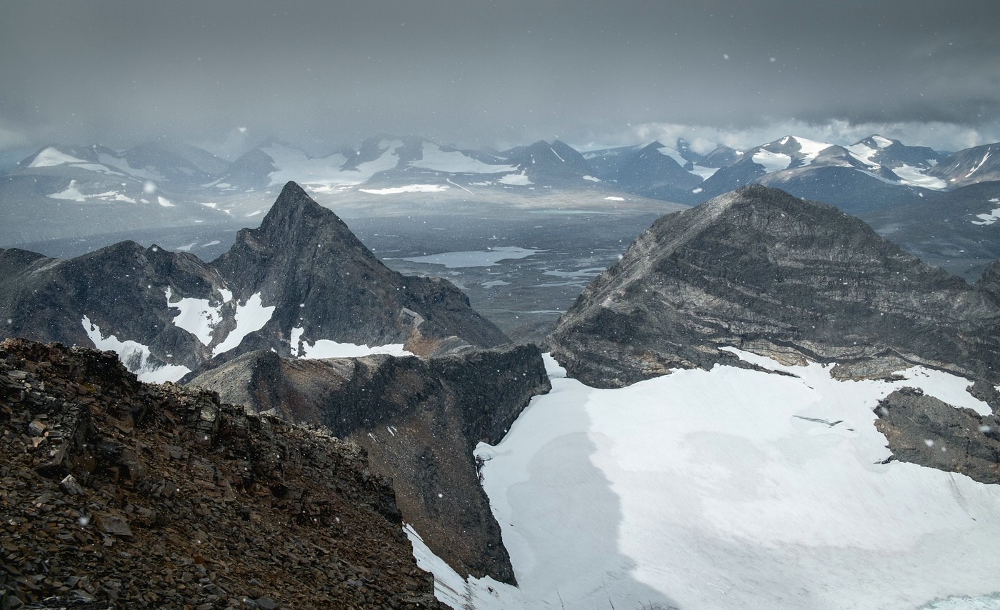

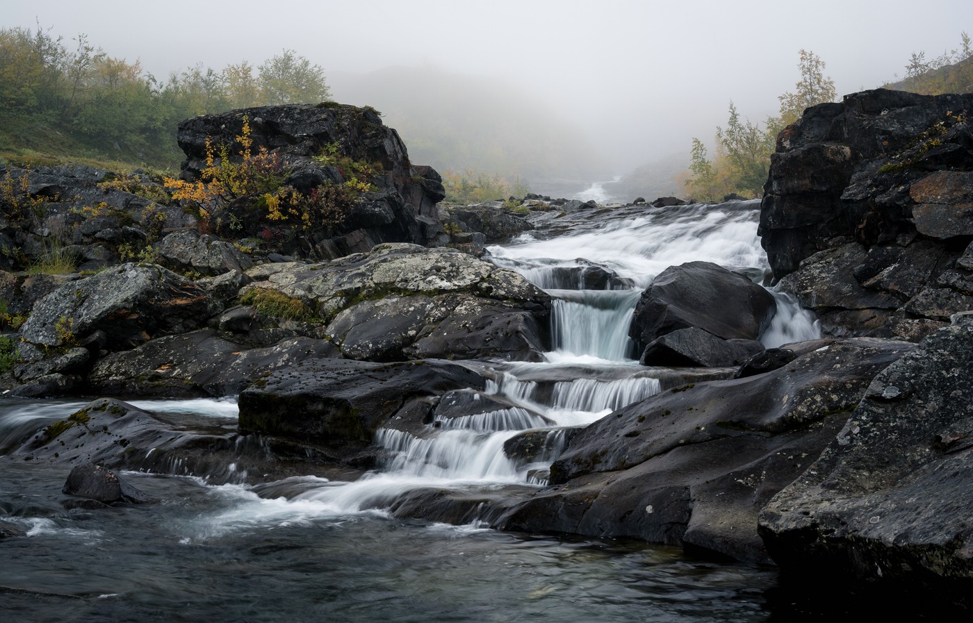
Njoatsosvágge
While the upper part of this valley is characterized by alpine conditions, steep rock walls and its spectacular V-shape, the lower part is less steep and features lush vegetation. Njoatsosvágge is very diverse in landscape and nature.
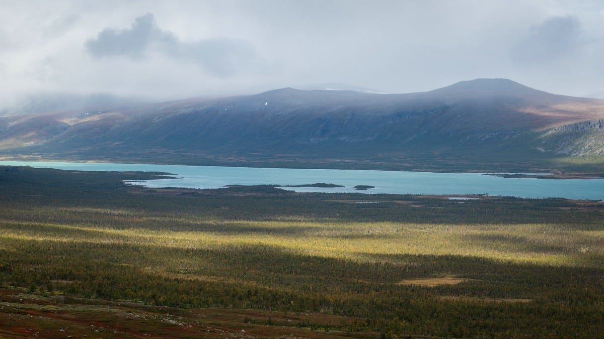
Bierikjåhkå and Bierikjávvre
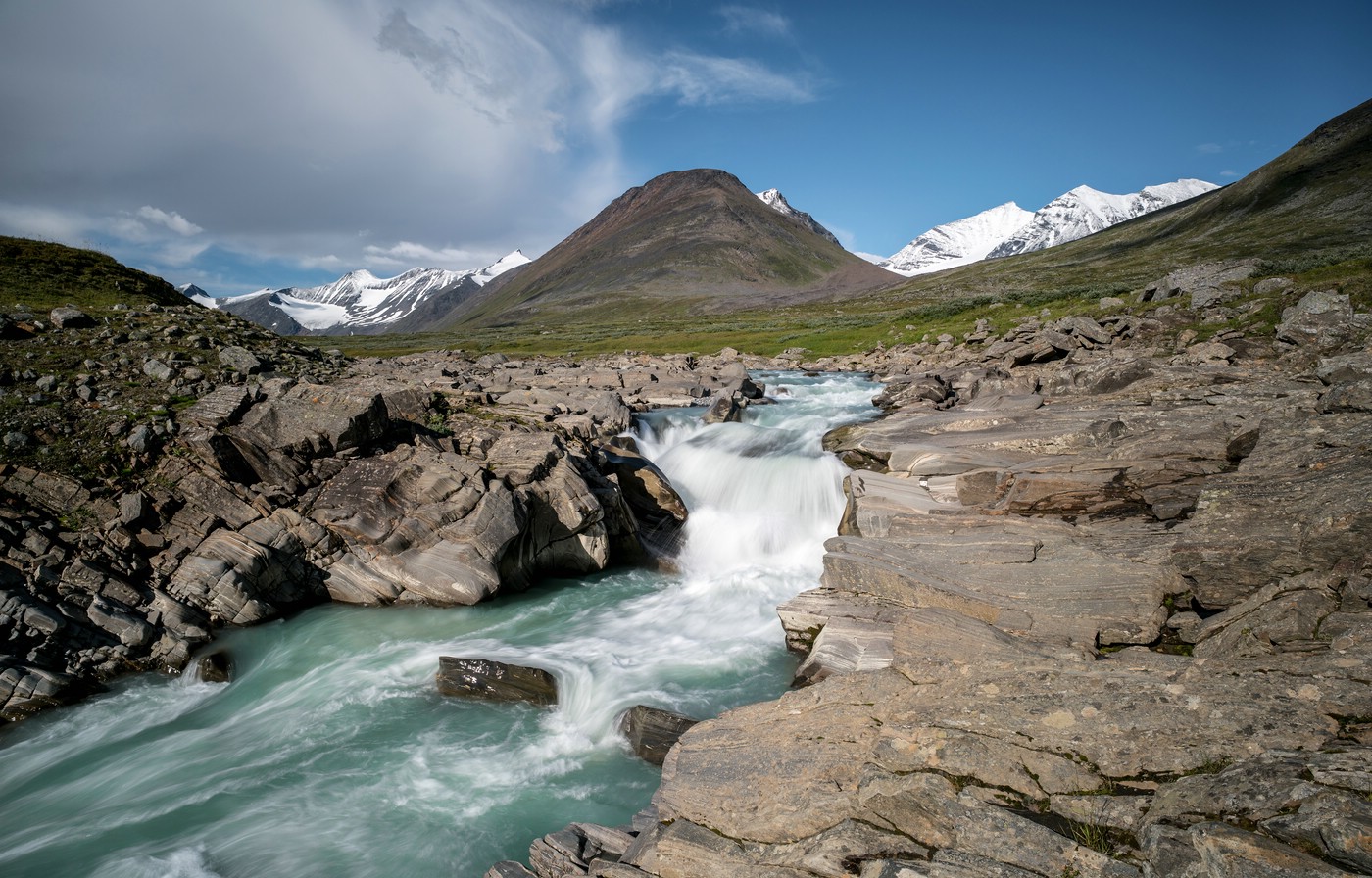
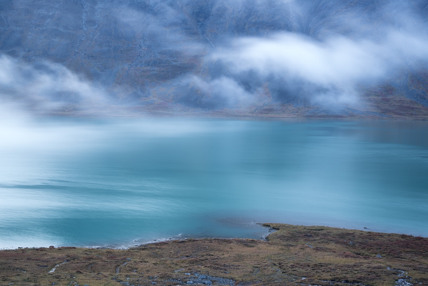
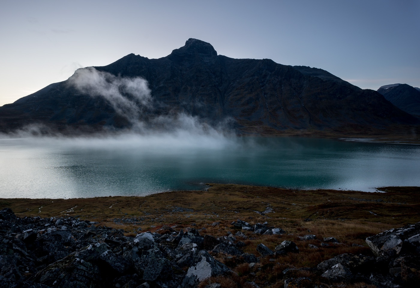
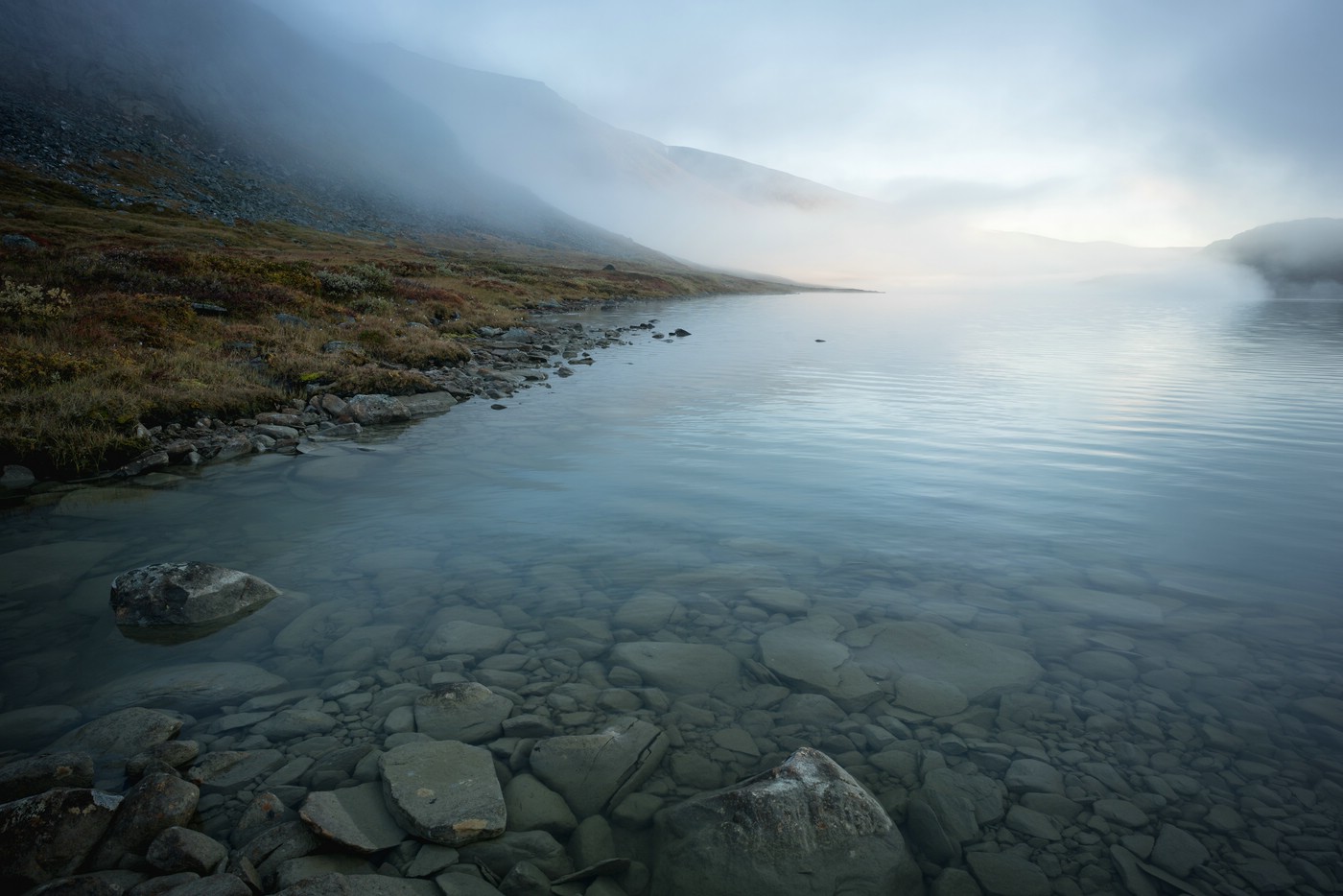
Bierikjåhkå is the main stream that contributes to the lake Bierikjávvre. Both are located in the northern part of Sarek between Guhkesvágge and Rapadalen. Due to glacial sediments stream and lake both have an intense blue-turquoise color. The lake is flanked by impressive mountains, in partikular Bierikbákte.
In Vicinity to Sarek
The following areas and locations are adjacent to the Sarek National Park but not part thereof.
Stora Sjöfallet
This national park is directly to the north of Sarek. The following images show the Akka mountains, the lake Pietsaure and the areas near the mountain Sluggá and south of it towards Guhkesvágge. Stora Sjöfallet is part of Laponia.
Kungsleden from Saltoluokta (East of Sarek)
The following images were taken along Kungsleden coming from Saltoluokta.
South of Sarek
Also the area betweek Kvikkjokk and Sarek is worth visiting as the landscape is not less impressive – however less alpine. The following three images were taken around Tjuoldavágge close to the National Park boundary.

In my opinion, the lake Stuor Dáhtá along Kungsleden north of Kvikkjokk is very beautiful. A little bit further north-east along the trail there are views of the lake Rittak and the large Tjaktjajávrre reservoir.